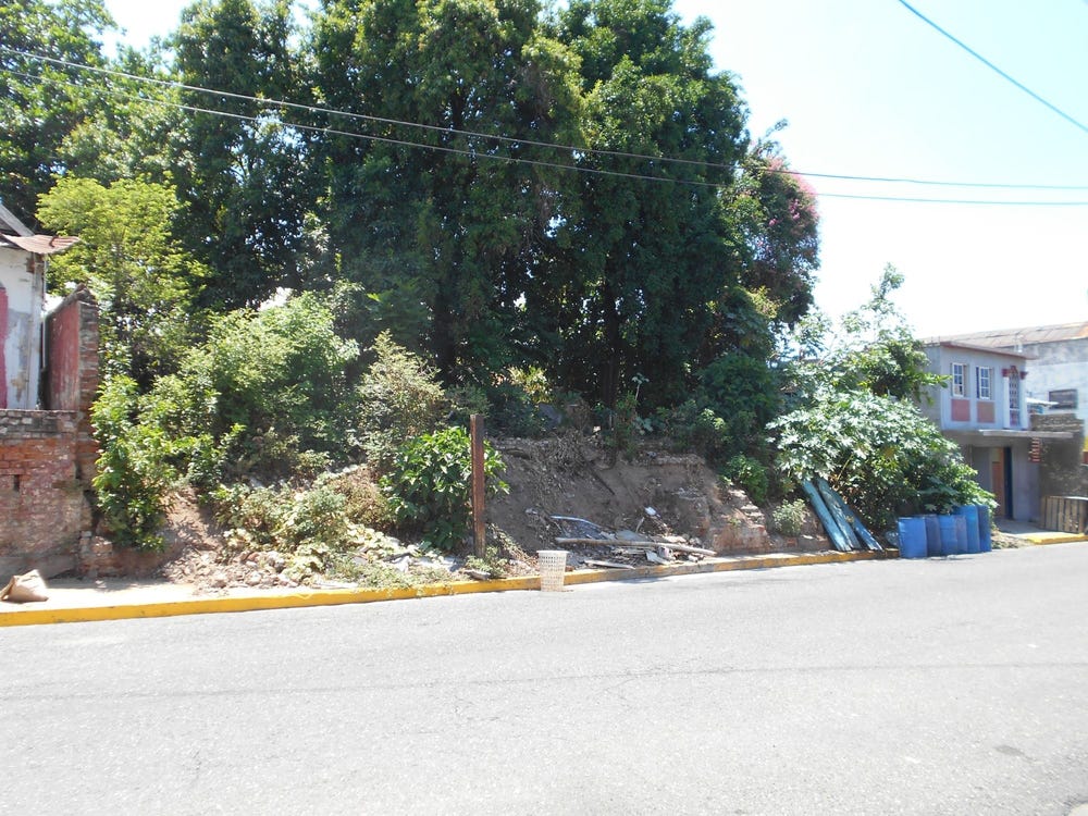
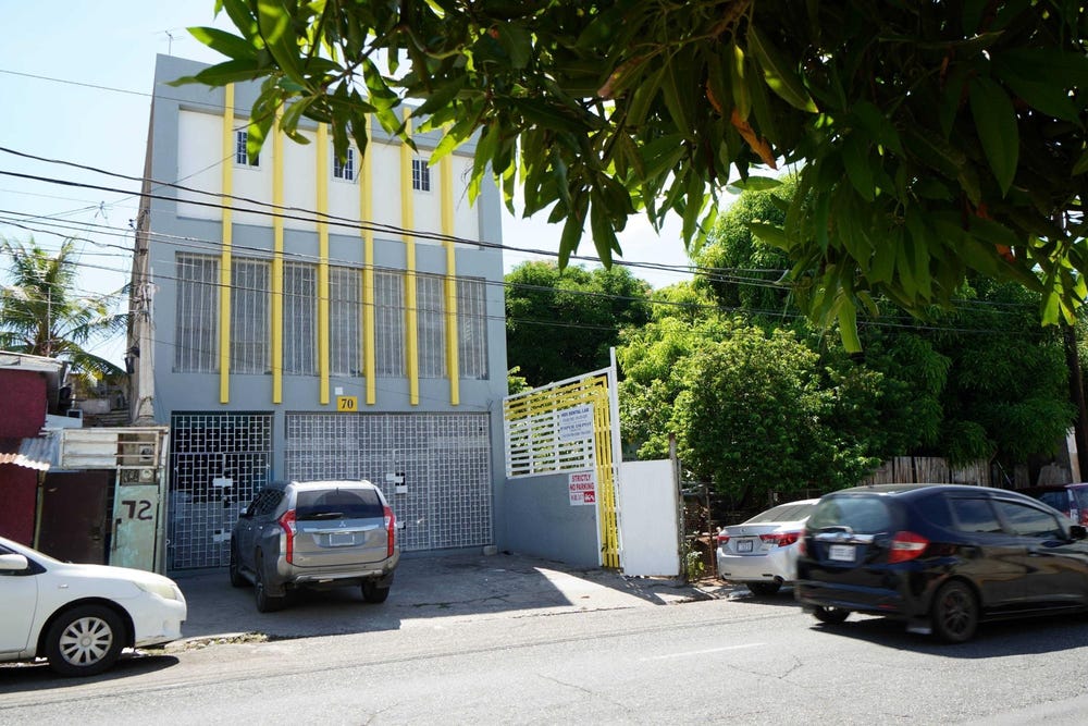
1, 1B ANDREWS LANE, East Down Town, Kingston
Property information for 1B ANDREWS LANE, KINGSTON 16, East Down Town, Kingston
AI-powered estimation based on comprehensive analysis of location, demographics, infrastructure, and market factors
Estimated Value (JMD)
JMD 20,356,370
Estimated Value (USD)
USD 135,709
Confidence Score
95%
Market Multiplier
0.97x
📊 Value Range Analysis
JMD Range:
JMD 16,285,096 - JMD 24,427,644
JMD 16,285,096 - JMD 24,427,644
📊 Analysis Details
Summary: AI analysis indicates a land value of JMD 20,356,370 based on 95% confidence analysis of population density, building count, facilities, and environmental factors.
Key Factors: Population density: 7683 people • Building count: 2 • Nearby facilities: 0 • Environmental score: 0.0% • Economic score: 0.0%
Tax Status: Available
Legal: Property appears to be legally registered
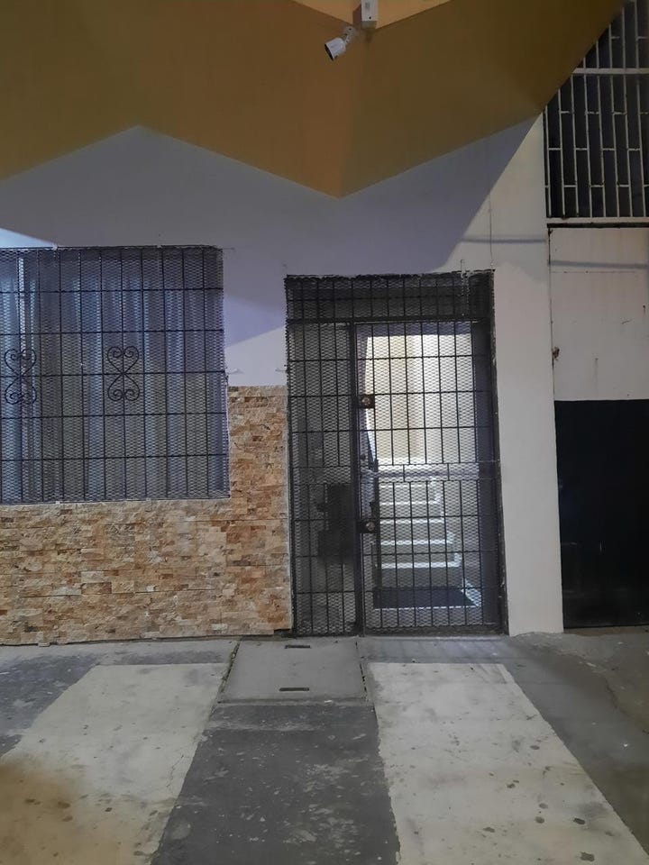
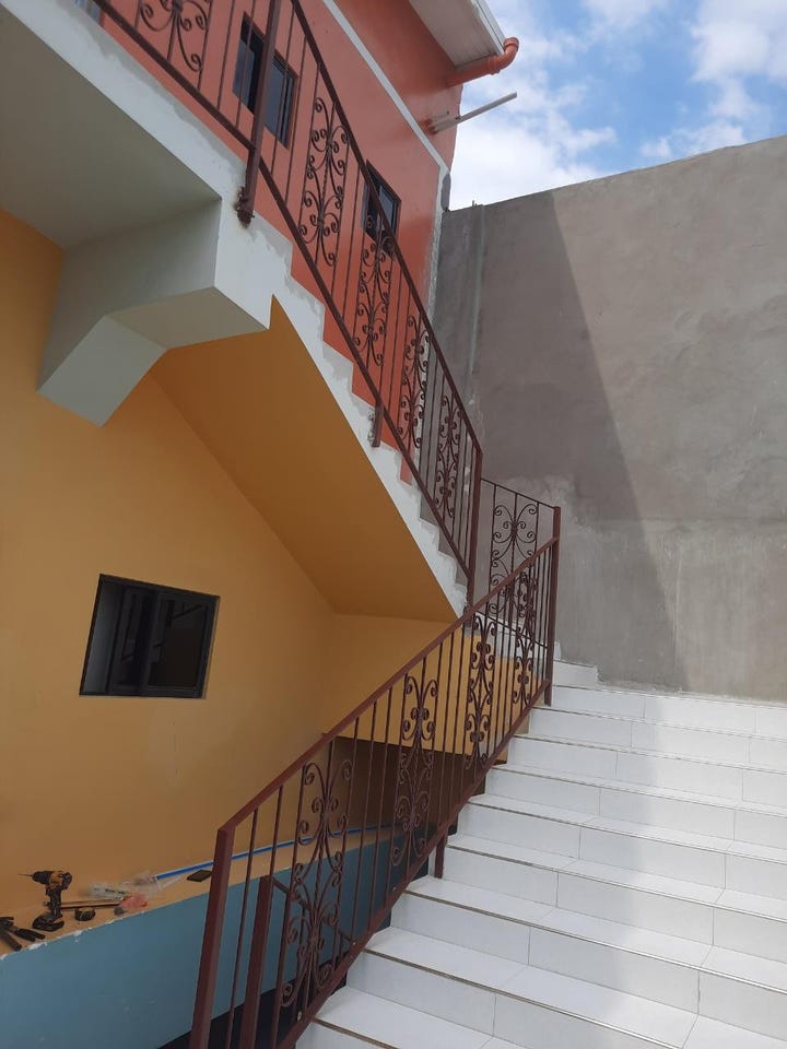
Improvements: Property has existing structures
Detailed analysis of buildings, attractions, and amenities in and around the property
🏥 Nearest Public Facilities (5)
Kingston College, North Street Campus
Distance: 367.8m📍 View Location
Type: School
Address: North Street
Kingston College Melbourne Campus
Distance: 417.2m📍 View Location
Type: School
Address: Upper Elletson Road
🏖️ Nearest Attractions (5)
Elleston Road Community Park
Distance: 319.4m📍 View Location
pitch - soccer
Distance: 352.3m📍 View Location
Melbourne Park
Distance: 506.0m📍 View Location
🌊 Nearest Natural Features (5)
wood
Distance: 133.1m📍 View Location
tree
Distance: 449.6m📍 View Location
tree
Distance: 457.9m📍 View Location
tree
Distance: 466.0m📍 View Location
tree
Distance: 474.7m📍 View Location
🛣️ Transport Infrastructure
Andrews Lane
Distance: 82.4m - Type: unclassified📍 View Location
South Camp Road
Distance: 82.4m - Type: primary - 2 lanes📍 View Location
Malvern Avenue
Distance: 103.6m - Type: residential📍 View Location
traffic_signals
Distance: 107.3m - Type: traffic_signals📍 View Location
South Camp Road
Distance: 107.3m - Type: primary - 2 lanes📍 View Location