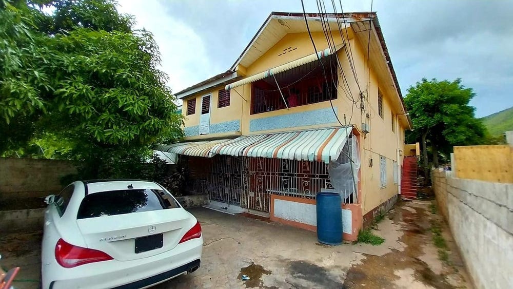
118 NORMAN RIFLE RANGE, 6 NORMAN AVENUE, Norman Gardens, Kingston
Property information for 6 NORMAN AVENUE, KINGSTON 2, Norman Gardens, Kingston
🗺️ Property Map
Interactive map showing the exact property boundaries and location
Loading map...
AI-powered estimation based on comprehensive analysis of location, demographics, infrastructure, and market factors
Estimated Value (JMD)
JMD 35,533,632
Estimated Value (USD)
USD 236,891
Confidence Score
80%
Market Multiplier
0.97x
📊 Value Range Analysis
JMD Range:
JMD 28,426,906 - JMD 42,640,358
JMD 28,426,906 - JMD 42,640,358
📊 Analysis Details
Summary: AI analysis indicates a land value of JMD 35,533,632 based on 80% confidence analysis of population density, building count, facilities, and environmental factors.
Key Factors: Population density: 19422 people • Building count: 1 • Nearby facilities: 0 • Environmental score: 0.0% • Economic score: 0.0%
Tax Status: Not Available
Legal: Property appears to be legally registered
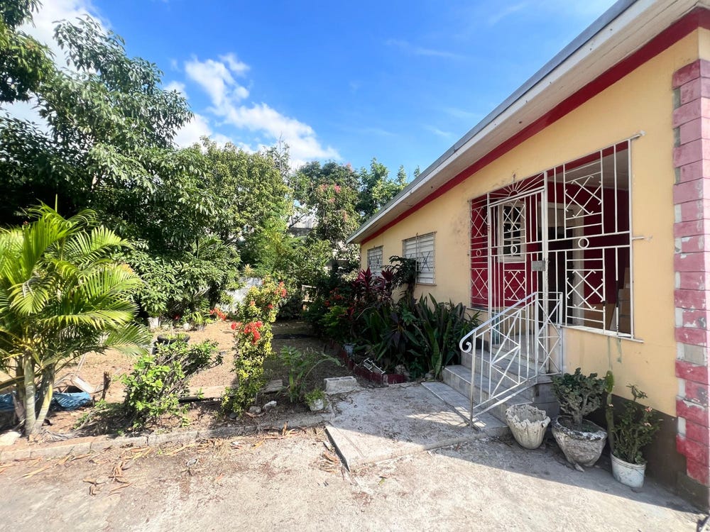
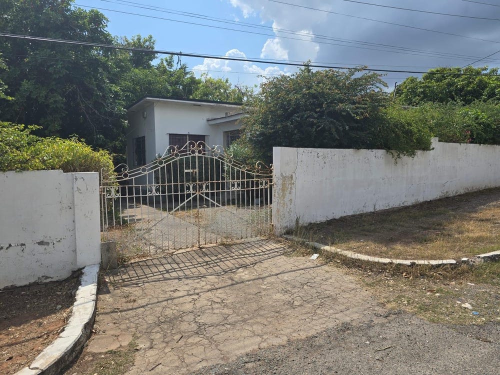
Improvements: Property has existing structures
In and Around
Buildings, public facilities, attractions and transport identified at or near this parcel — sourced from OpenStreetMap and our analysis pipeline.
Public Facilities
3- ClinicNearby308 m
- Norman Gardens Primary & Junior HighNearby355 mSchool
- Windward Road Primary & Junior High SchoolNearby372 mSchool
Retail & Commercial
1- Holy Ghost Church of GodNearby392 mPlace of Worship
Transport
4- Norman CrescentNearby16 mResidential
- Bus StopNearby71 mBus Stop
- ResidentialNearby79 m
- Range CrescentNearby110 mResidential