🗺️ Property Map

Interactive map showing the exact property boundaries and location

Loading map...

Interactive property boundary map located in Litchfield, Manchester parish, Jamaica.

Tax & Investment Information

What you get when you unlock this parcel

Boundary maps, lot size, scheme details, AI valuation insight and OFMOP local context are already free on this page. The unlock adds the verified Tax & Ownership record:

  • 👤 Owner of record — name and registered address from TAJ
  • 💰 Annual property tax — current amount due + paid/unpaid status from TAJ
  • 📊 Assessed value — the unimproved value TAJ uses to compute the tax
  • 📜 Payment history — recent tax-payment entries on the parcel

Tax records sourced from Tax Administration Jamaica (TAJ). Land boundaries and lot dimensions come from the National Land Agency (NLA) and are already on this page.

One-time per parcel, or unlimited with Premium. Receipts in your customer portal.

AI-powered estimation based on comprehensive analysis of location, demographics, infrastructure, and market factors

Estimated Value (JMD)
JMD 28,093,910
Estimated Value (USD)
USD 187,293
Confidence Score
80%
Market Multiplier
0.97x
📊 Value Range Analysis
JMD Range:
JMD 22,475,128 - JMD 33,712,692
📊 Analysis Details
Summary: AI analysis indicates a land value of JMD 28,093,910 based on 80% confidence analysis of population density, building count, facilities, and environmental factors.
Key Factors: Population density: 5880 people • Building count: 2 • Nearby facilities: 0 • Environmental score: 0.0% • Economic score: 0.0%
Tax Status: Not Available
Legal: Property appears to be legally registered
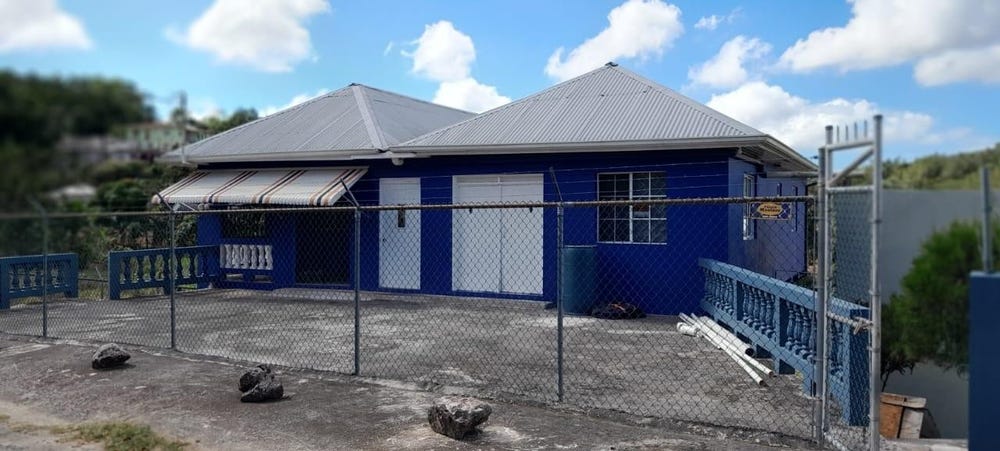
Improvements: Property has existing structures

In and Around

Buildings, public facilities, attractions and transport identified at or near this parcel — sourced from OpenStreetMap and our analysis pipeline.

Transport

3

Property record

ID: 482983

This 17,199 m² parcel measures roughly 67 m wide by 167 m deep, with a 70-vertex boundary.

Manchester is a central highlands parish — cool upland in character, centered around the hillside town of Mandeville.

Middlesex County is Jamaica's largest historic county by area, covering the central interior with cool elevations and strong agricultural character.

Located 2.3 km from the centre of Litchfield and 12.3 km from Mandeville, the parish capital.

OpenStreetMap places this parcel within Mile Gully, Manchester, Middlesex County, Jamaica. OSM classifies the surrounding area as residential.

Satellite imagery detects 2 structures within the parcel boundary, suggesting a developed lot.

Vegetation cover reads as moderate green (NDVI 0.45).

Nearest highway: Bethany Road, approximately 2726 m from the parcel boundary.

Indicative AI valuation: JMD 28,093,910 ≈ USD 187,293 (80% confidence).

Coordinates:Available

🏠 Nearby on the market

🏠 Real Estate Investment Opportunities

Discover properties for sale and rent in this prime location. Perfect for investors looking for opportunities in this growing area.

💰Properties for Sale

1 Available
PART GREENVALE MILE GULLY
FOR SALE
1 / 10

PART GREENVALE MILE GULLY

USD $180,645

🛏️6 beds
🚿2 baths
📏10,968.00 sq ft
🏢1,500.00 sq ft

👨‍💼Etta Watson

🏢INEZ TURNER REAL ESTATE

🏠Properties for Rent

0 Available
🏠

No Properties for Rent

Currently no properties available for rent in this area.

📊 Investment Summary

1
Properties for Sale
0
Properties for Rent
1
Total Opportunities

Checking access...

Powered by Jurifi · Jamaica legal Q&A

Have a legal question about this property? Tap a prompt to open Jurifi with the parcel context already filled in.

AI assistance only. Not legal advice. Consult a Jamaican attorney before acting on any output.

Nearby Properties in Litchfield