🗺️ Property Map

Interactive map showing the exact property boundaries and location

Loading map...

Interactive property boundary map located in Brandon Hill, St. Andrew parish, Jamaica.

Tax & Investment Information

What you get when you unlock this parcel

Boundary maps, lot size, scheme details, AI valuation insight and OFMOP local context are already free on this page. The unlock adds the verified Tax & Ownership record:

  • 👤 Owner of record — name and registered address from TAJ
  • 💰 Annual property tax — current amount due + paid/unpaid status from TAJ
  • 📊 Assessed value — the unimproved value TAJ uses to compute the tax
  • 📜 Payment history — recent tax-payment entries on the parcel

Tax records sourced from Tax Administration Jamaica (TAJ). Land boundaries and lot dimensions come from the National Land Agency (NLA) and are already on this page.

One-time per parcel, or unlimited with Premium. Receipts in your customer portal.

AI-powered estimation based on comprehensive analysis of location, demographics, infrastructure, and market factors

Estimated Value (JMD)
JMD 15,675,509
Estimated Value (USD)
USD 104,503
Confidence Score
75%
Market Multiplier
0.85x
📊 Value Range Analysis
JMD Range:
JMD 12,540,407 - JMD 18,810,611
📊 Analysis Details
Summary: AI analysis indicates a land value of JMD 15,675,509 based on 75% confidence analysis of population density, building count, facilities, and environmental factors.
Key Factors: Population density: 680 people • Building count: 0 • Nearby facilities: 0 • Environmental score: 0.0% • Economic score: 0.0%
Tax Status: Not Available
Legal: Property appears to be legally registered
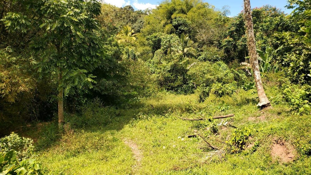
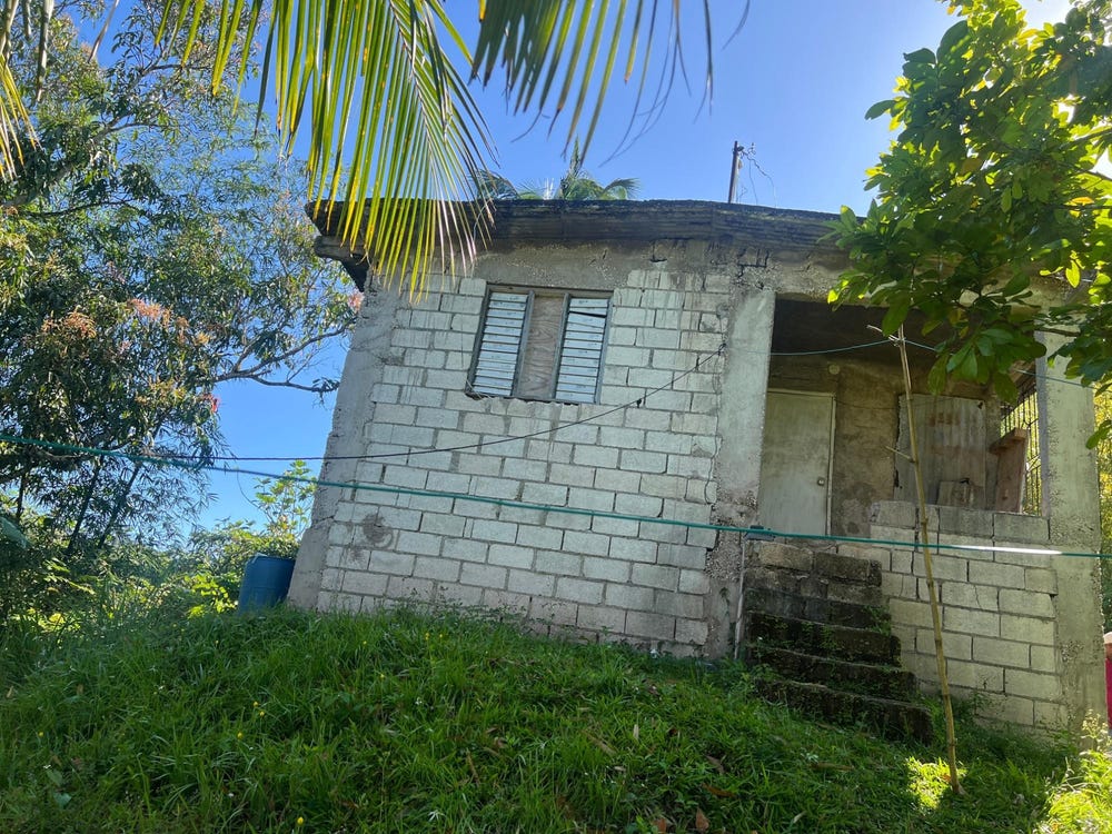
Improvements: Vacant land with development potential

Property record

ID: 19128

This 137,871 m² parcel measures roughly 60 m wide by 27 m deep, with a 10-vertex boundary.

St. Andrew is a southeastern parish — suburban and residential in character, surrounding the capital city.

Surrey County is the eastern third of Jamaica, anchored by Kingston and the Blue Mountains.

Located 2.5 km from the centre of Brandon Hill and 12.3 km from Half Way Tree, the parish capital.

OpenStreetMap places this parcel within Noland Hill, Temple Hall, Saint Andrew, Surrey County, Jamaica. OSM classifies the surrounding area as residential.

Satellite imagery shows no structures inside the boundary — currently appearing undeveloped.

Vegetation cover reads as high green (NDVI 0.70).

Indicative AI valuation: JMD 15,675,509 ≈ USD 104,503 (75% confidence).

🏠 Nearby on the market

🏠 Real Estate Investment Opportunities

Discover properties for sale and rent in this prime location. Perfect for investors looking for opportunities in this growing area.

💰Properties for Sale

2 Available
MOUNT DAKIN
FOR SALE
1 / 8

MOUNT DAKIN

JMD $17,000,000

0
📏920,142.03 sq ft

👨‍💼Michelle Chin

🏢KELLER WILLIAMS JAMAICA

TEMPLE HALL
FOR SALE
1 / 10

TEMPLE HALL

JMD $20,000,000

0
📏271,509.00 sq ft

👨‍💼Terry Kelly

🏢CAVENDISH INT'L REALTY LTD

🏠Properties for Rent

0 Available
🏠

No Properties for Rent

Currently no properties available for rent in this area.

📊 Investment Summary

2
Properties for Sale
0
Properties for Rent
2
Total Opportunities

Checking access...

Powered by Jurifi · Jamaica legal Q&A

Have a legal question about this property? Tap a prompt to open Jurifi with the parcel context already filled in.

AI assistance only. Not legal advice. Consult a Jamaican attorney before acting on any output.

Nearby Properties in Brandon Hill