Upper Ivy Road, Cross Roads, St. Andrew
Property information for Upper Ivy Road, Cross Roads, St. Andrew
🗺️ Property Map
Interactive map showing the exact property boundaries and location
Loading map...
AI-powered estimation based on comprehensive analysis of location, demographics, infrastructure, and market factors
Estimated Value (JMD)
JMD 98,326,043
Estimated Value (USD)
USD 655,507
Confidence Score
80%
Market Multiplier
0.97x
📊 Value Range Analysis
JMD Range:
JMD 78,660,834 - JMD 117,991,252
JMD 78,660,834 - JMD 117,991,252
📊 Analysis Details
Summary: AI analysis indicates a land value of JMD 98,326,043 based on 80% confidence analysis of population density, building count, facilities, and environmental factors.
Key Factors: Population density: 21954 people • Building count: 1 • Nearby facilities: 0 • Environmental score: 0.0% • Economic score: 0.0%
Tax Status: Not Available
Legal: Property appears to be legally registered
Improvements: Property has existing structures
In and Around
Buildings, public facilities, attractions and transport identified at or near this parcel — sourced from OpenStreetMap and our analysis pipeline.
Public Facilities
1- Wolmer's High School for BoysNearby430 mSchool
Retail & Commercial
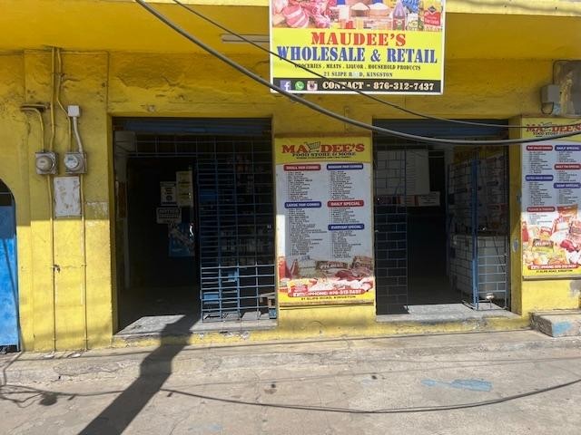
5- Tropical BatteryNearby279 mShop
- Pantry MartNearby281 mShop
- ShopNearby282 m
- Crossroads Clock TowerNearby410 mClock
- MegaletoNearby418 mShop
Transport
5- Curphey RoadNearby82 mResidential
- Bus StopNearby124 mBus Stop
- Lower Ivy RoadNearby187 mResidential
- Upper Ivy RoadNearby188 mResidential
- Lyndhurst RoadNearby191 mTertiary