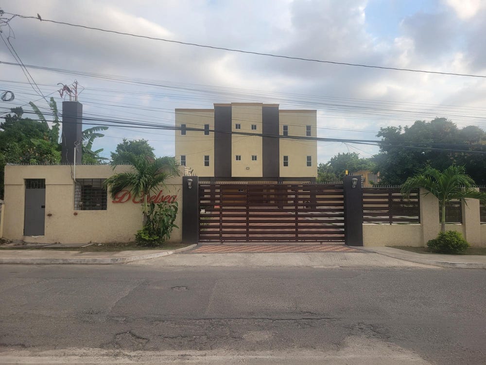
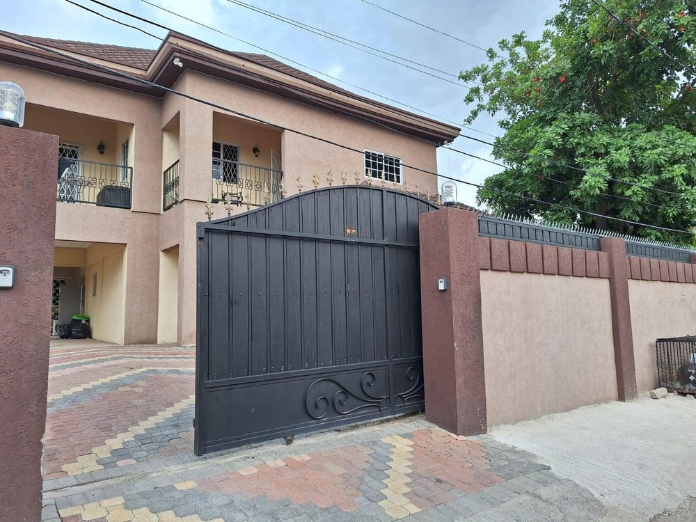
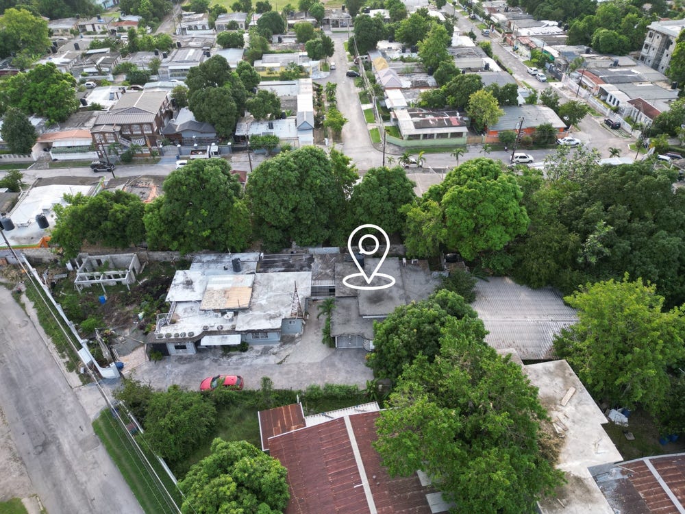
Saint Andrew, Surrey County, Jamaica, Drewsland, St. Andrew
Property information for Drewsland, St. Andrew
AI-powered estimation based on comprehensive analysis of location, demographics, infrastructure, and market factors
Estimated Value (JMD)
JMD 64,821,017
Estimated Value (USD)
USD 432,140
Confidence Score
80%
Market Multiplier
1.02x
📊 Value Range Analysis
JMD Range:
JMD 51,856,814 - JMD 77,785,220
JMD 51,856,814 - JMD 77,785,220
📊 Analysis Details
Summary: AI analysis indicates a land value of JMD 64,821,017 based on 80% confidence analysis of population density, building count, facilities, and environmental factors.
Key Factors: Population density: 14610 people • Building count: 5 • Nearby facilities: 0 • Environmental score: 0.0% • Economic score: 0.0%
Tax Status: Not Available
Legal: Property appears to be legally registered
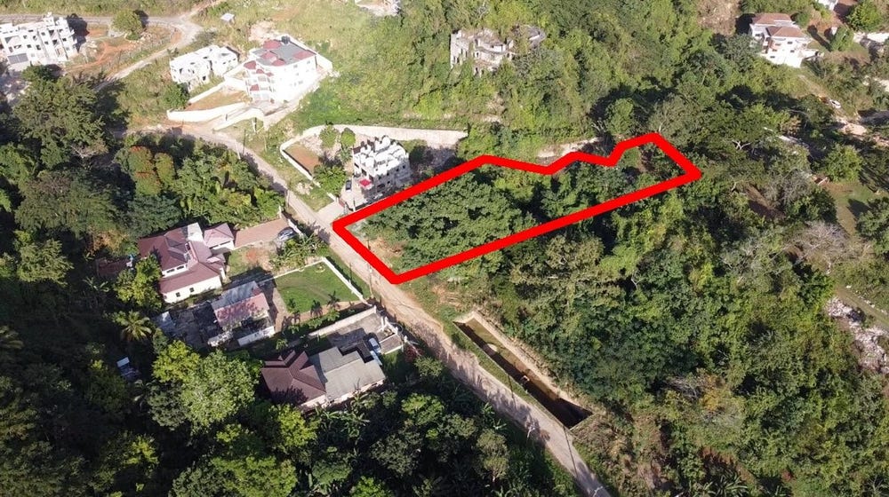
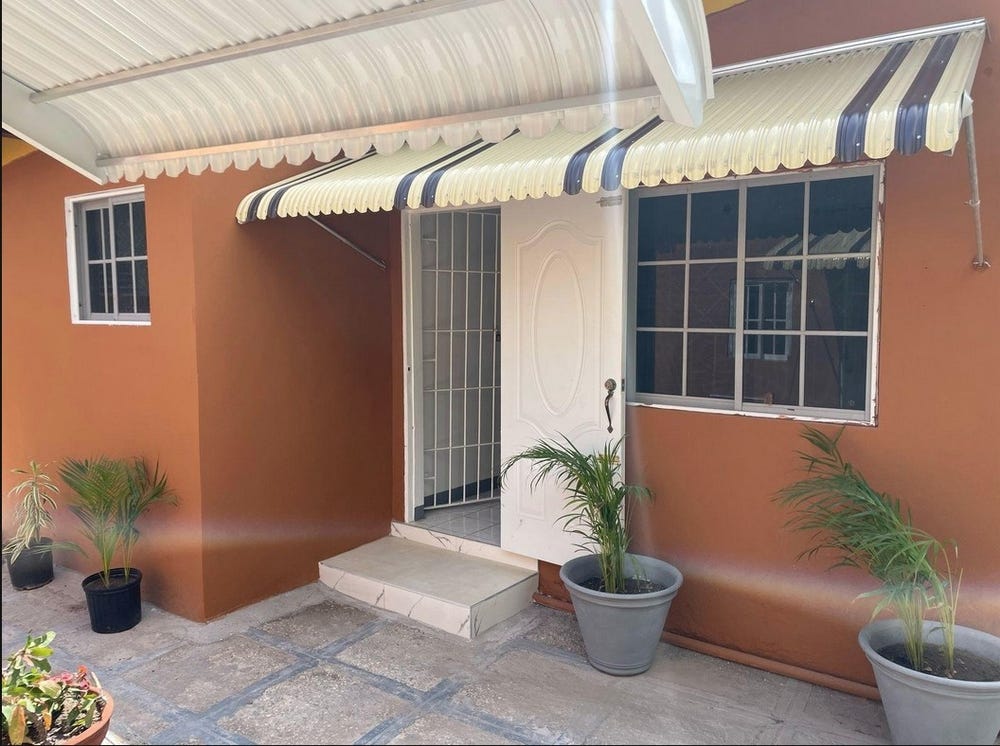
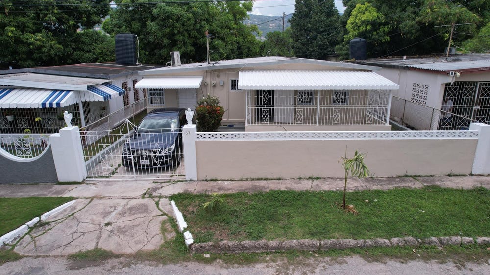
Improvements: Property has existing structures
Detailed analysis of buildings, attractions, and amenities in and around the property
🏥 Nearest Public Facilities (2)
🏖️ Nearest Attractions (2)
trees around houses
Distance: 322.9m📍 View Location
grassland
Distance: 399.2m📍 View Location
🛣️ Transport Infrastructure
residential (Inside)
Type: residential
residential (Inside)
Type: residential
residential (Inside)
Type: residential
residential (Inside)
Type: residential
residential
Distance: 20.6m - Type: residential📍 View Location
residential
Distance: 87.8m - Type: residential📍 View Location
Holt Lane
Distance: 92.8m - Type: residential📍 View Location
bus_stop
Distance: 135.0m - Type: bus_stop📍 View Location
bus_stop
Distance: 140.8m - Type: bus_stop📍 View Location