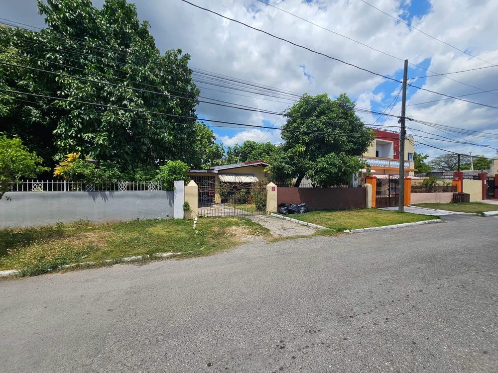
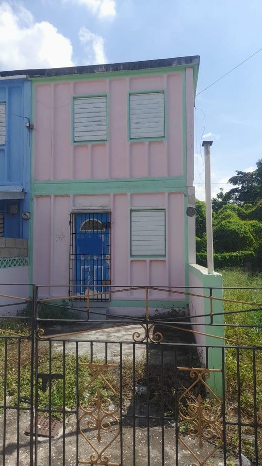
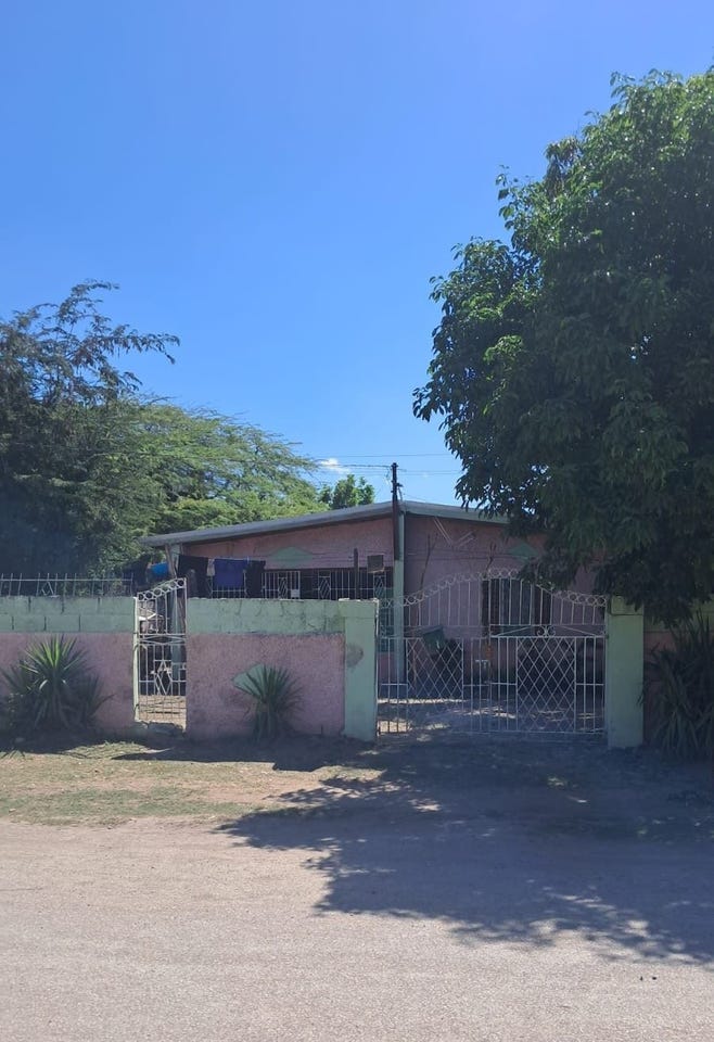
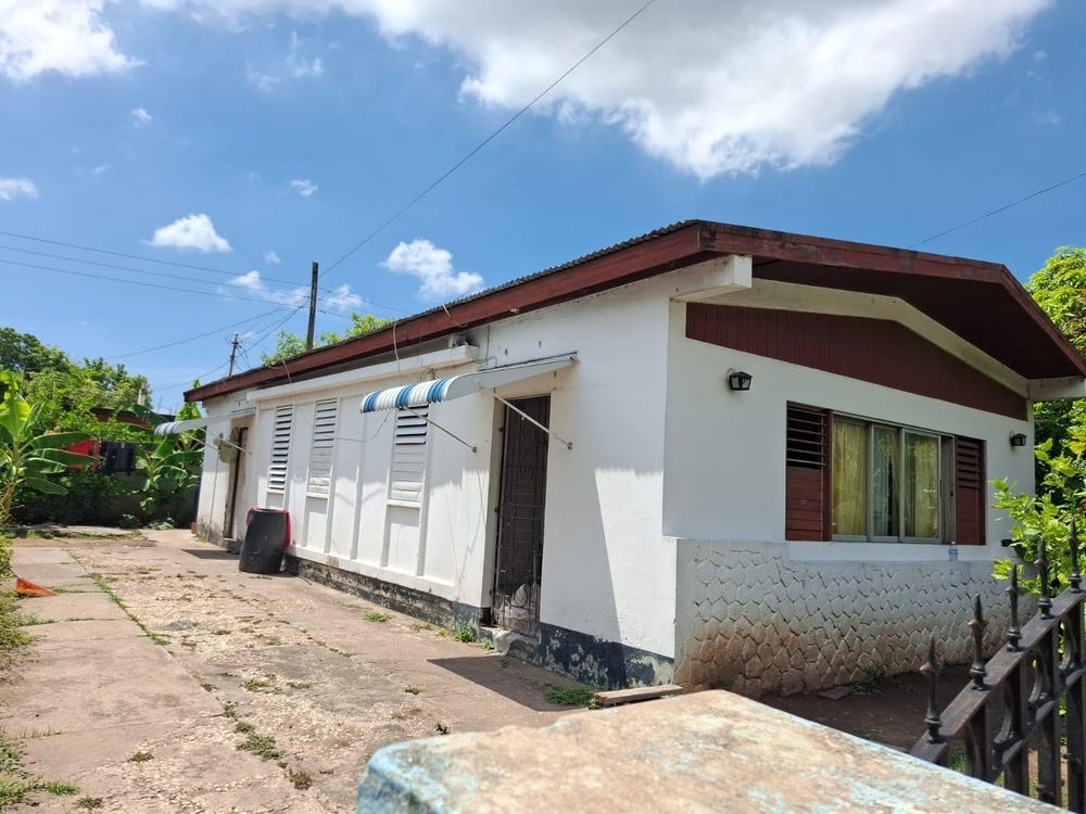
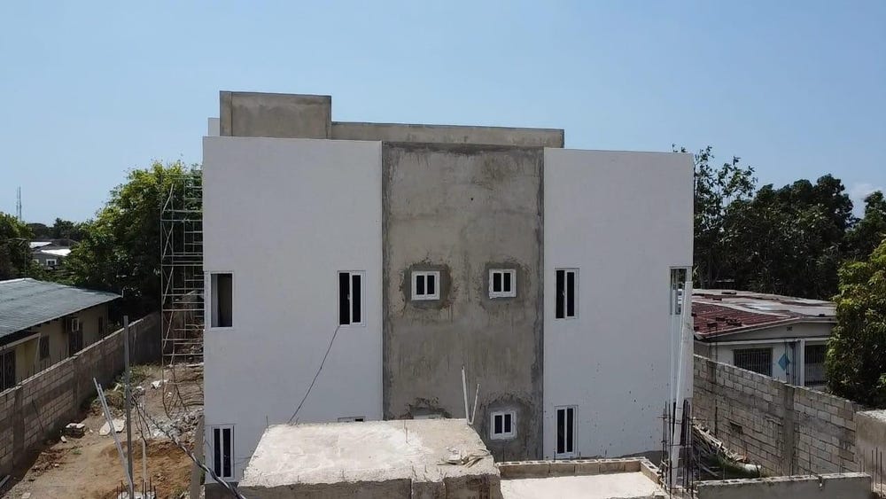
60F DUHANEY PARK, 29 BURNS AVENUE, Duhaney Park, St. Andrew
Property information for 29 BURNS AVENUE, KINGSTON 20, Duhaney Park, St. Andrew
AI-powered estimation based on comprehensive analysis of location, demographics, infrastructure, and market factors
Estimated Value (JMD)
JMD 35,682,407
Estimated Value (USD)
USD 237,883
Confidence Score
75%
Market Multiplier
0.92x
📊 Value Range Analysis
JMD Range:
JMD 28,545,926 - JMD 42,818,888
JMD 28,545,926 - JMD 42,818,888
📊 Analysis Details
Summary: AI analysis indicates a land value of JMD 35,682,407 based on 75% confidence analysis of population density, building count, facilities, and environmental factors.
Key Factors: Population density: 1912 people • Building count: 0 • Nearby facilities: 0 • Environmental score: 0.0% • Economic score: 0.0%
Tax Status: Not Available
Legal: Property appears to be legally registered
Improvements: Vacant land with development potential
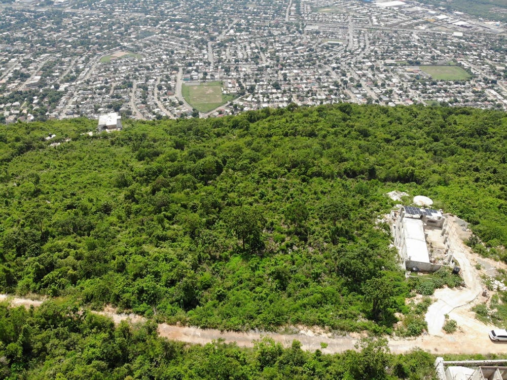
Detailed analysis of buildings, attractions, and amenities in and around the property
🏥 Nearest Public Facilities (2)
🏖️ Nearest Attractions (4)
Football Feild
Distance: 262.9m📍 View Location
pitch - soccer
Distance: 297.0m📍 View Location
pitch
Distance: 344.6m📍 View Location
Open Feild
Distance: 536.8m📍 View Location
🌊 Nearest Natural Features (3)
wood
Distance: 101.7m📍 View Location
wood
Distance: 213.9m📍 View Location
OpenFeild
Distance: 494.1m📍 View Location
🛣️ Transport Infrastructure
Burns Avenue
Distance: 43.6m - Type: residential📍 View Location
Lessing Avenue
Distance: 52.1m - Type: residential📍 View Location
Kipling Way
Distance: 64.8m - Type: residential📍 View Location
Defoe Avenue
Distance: 68.8m - Type: residential📍 View Location
Burroughs Avenue
Distance: 93.8m - Type: residential📍 View Location