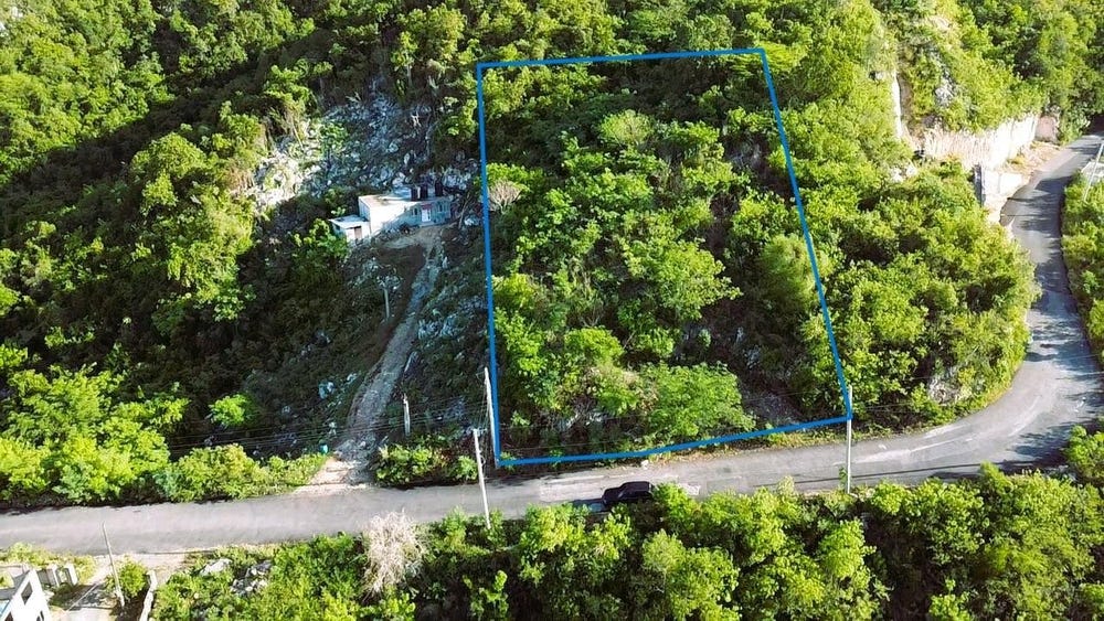
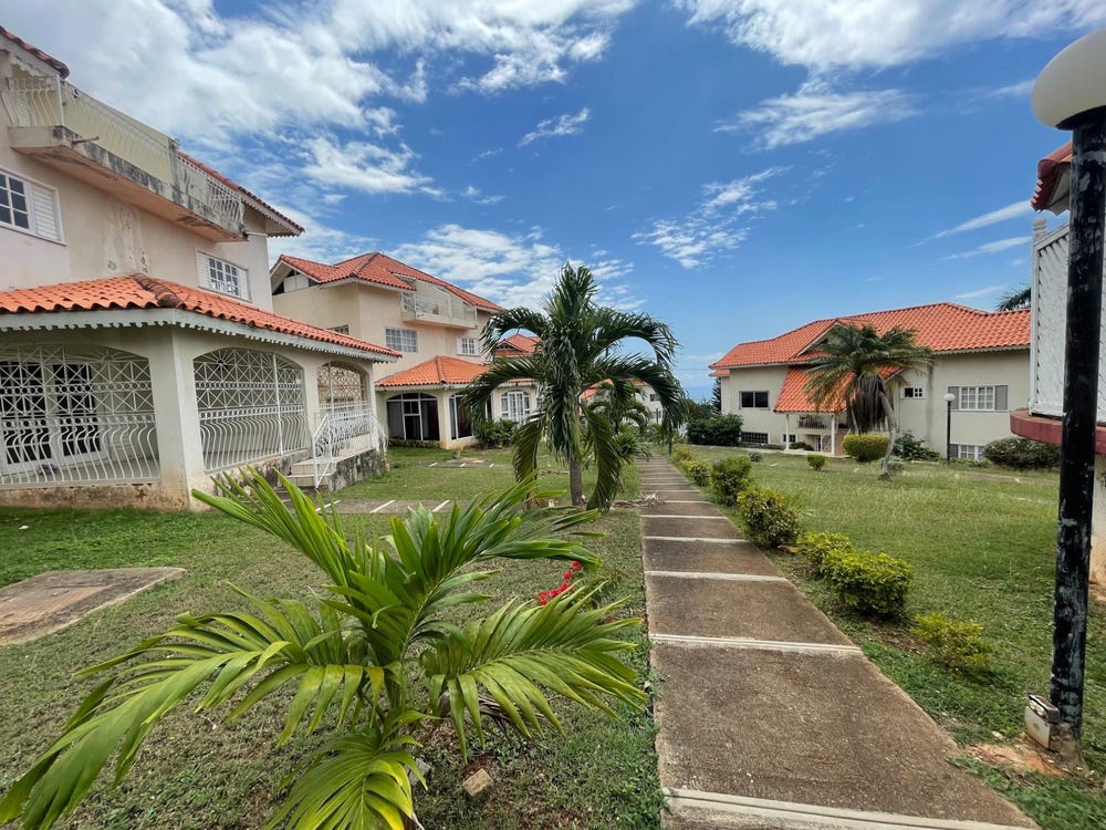
Queensboro Drive, Forest Hills/ Plantation Height, St. Andrew
Property information for Queensboro Drive, Forest Hills/ Plantation Height, St. Andrew
AI-powered estimation based on comprehensive analysis of location, demographics, infrastructure, and market factors
Estimated Value (JMD)
JMD 27,242,693
Estimated Value (USD)
USD 181,618
Confidence Score
75%
Market Multiplier
0.92x
📊 Value Range Analysis
JMD Range:
JMD 21,794,154 - JMD 32,691,232
JMD 21,794,154 - JMD 32,691,232
📊 Analysis Details
Summary: AI analysis indicates a land value of JMD 27,242,693 based on 75% confidence analysis of population density, building count, facilities, and environmental factors.
Key Factors: Population density: 38304 people • Building count: 0 • Nearby facilities: 0 • Environmental score: 0.0% • Economic score: 0.0%
Tax Status: Not Available
Legal: Property appears to be legally registered
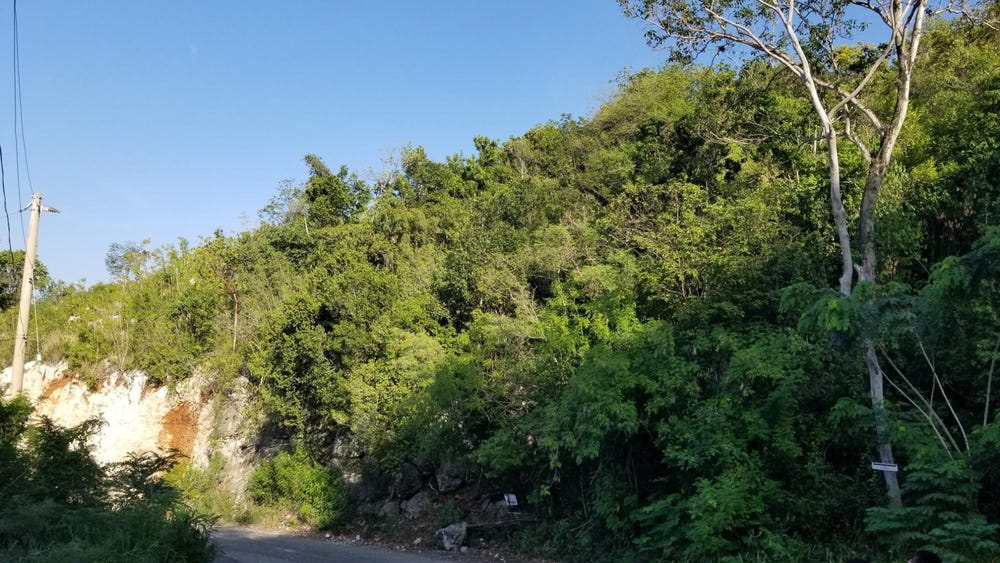
Improvements: Vacant land with development potential
Detailed analysis of buildings, attractions, and amenities in and around the property
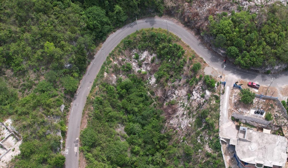
🛣️ Transport Infrastructure
Ferry Hill Close
Distance: 156.8m - Type: residential📍 View Location
Gordon Terrace
Distance: 210.2m - Type: residential📍 View Location
unclassified
Distance: 236.1m - Type: unclassified📍 View Location
residential
Distance: 317.8m - Type: residential📍 View Location
service
Distance: 322.5m - Type: service📍 View Location