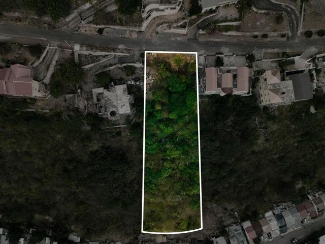
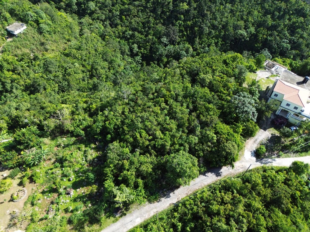
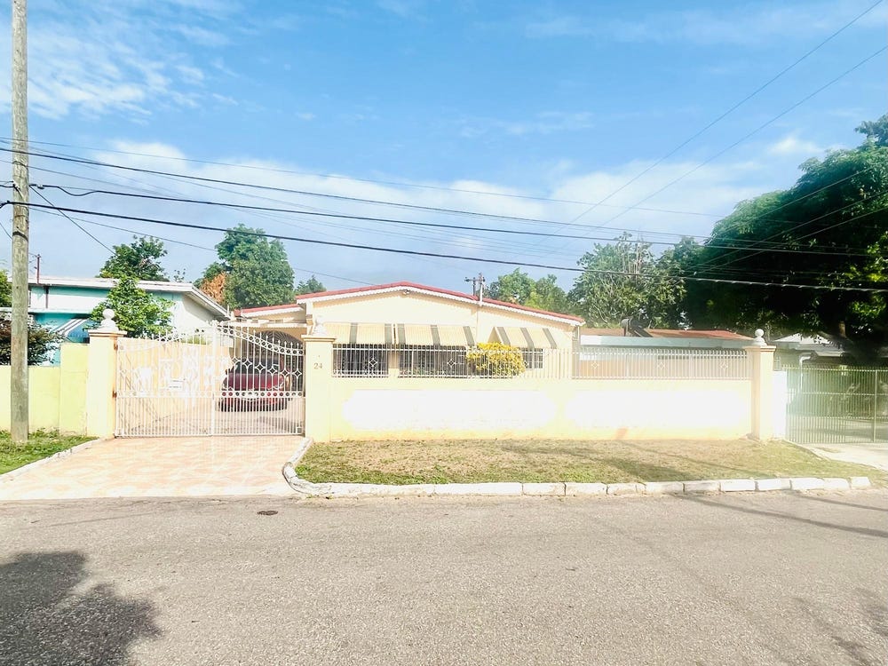
98 QUEEN HILL, CATHERINE DRIVE, Forest Hills/ Plantation Height, St. Andrew
Property information for CATHERINE DRIVE, KINGSTON 19, Forest Hills/ Plantation Height, St. Andrew
AI-powered estimation based on comprehensive analysis of location, demographics, infrastructure, and market factors
Estimated Value (JMD)
JMD 59,695,512
Estimated Value (USD)
USD 397,970
Confidence Score
80%
Market Multiplier
0.97x
📊 Value Range Analysis
JMD Range:
JMD 47,756,410 - JMD 71,634,614
JMD 47,756,410 - JMD 71,634,614
📊 Analysis Details
Summary: AI analysis indicates a land value of JMD 59,695,512 based on 80% confidence analysis of population density, building count, facilities, and environmental factors.
Key Factors: Population density: 116412 people • Building count: 1 • Nearby facilities: 0 • Environmental score: 0.0% • Economic score: 0.0%
Tax Status: Not Available
Legal: Property appears to be legally registered
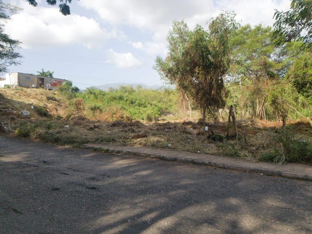
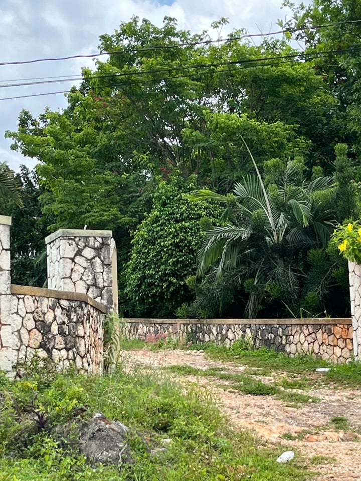
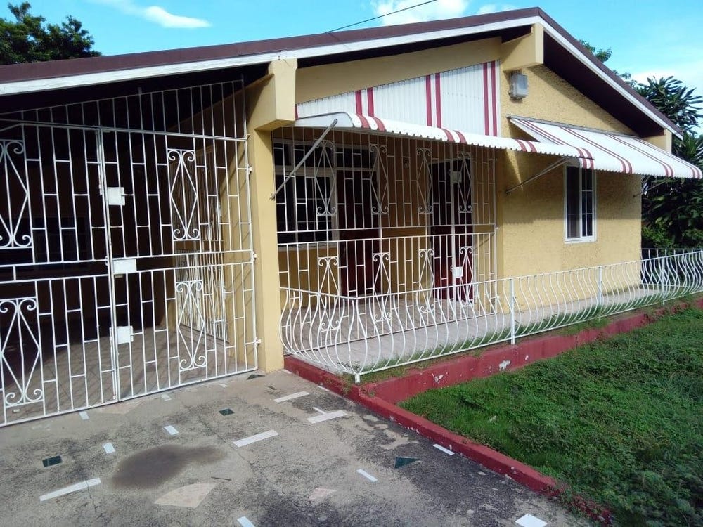
Improvements: Property has existing structures
Detailed analysis of buildings, attractions, and amenities in and around the property
🛣️ Transport Infrastructure
Penfield Road
Distance: 69.4m - Type: residential📍 View Location
unclassified
Distance: 87.2m - Type: unclassified📍 View Location
Holbrook Close
Distance: 116.9m - Type: residential📍 View Location
Mandala Avenue
Distance: 118.2m - Type: residential📍 View Location
Norcross Avenue
Distance: 166.0m - Type: residential📍 View Location