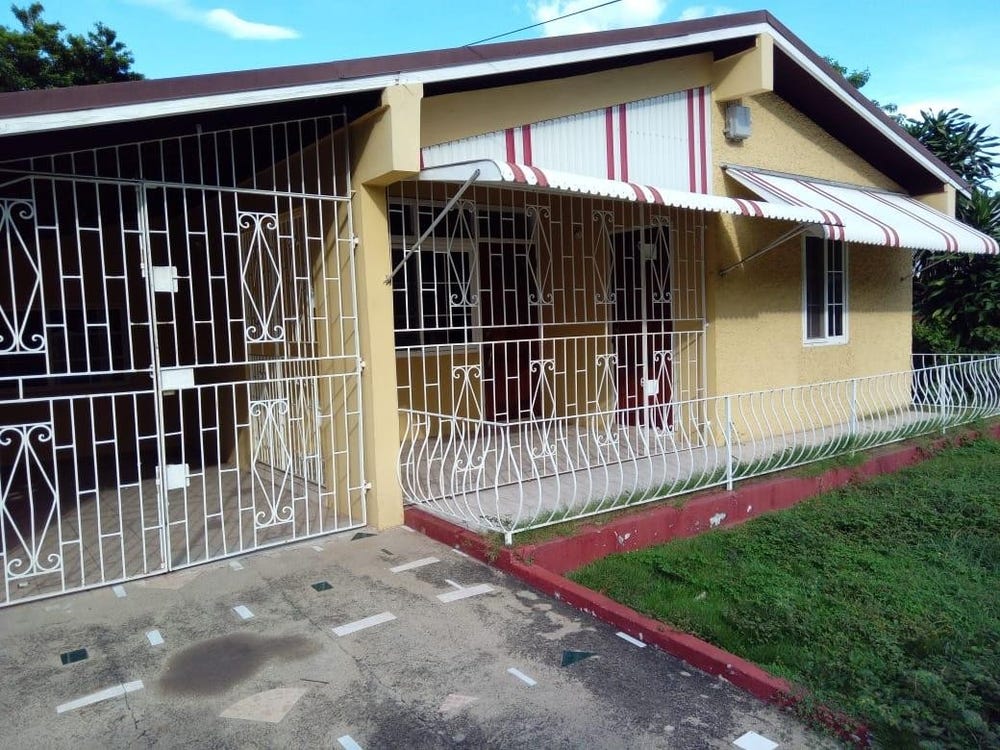
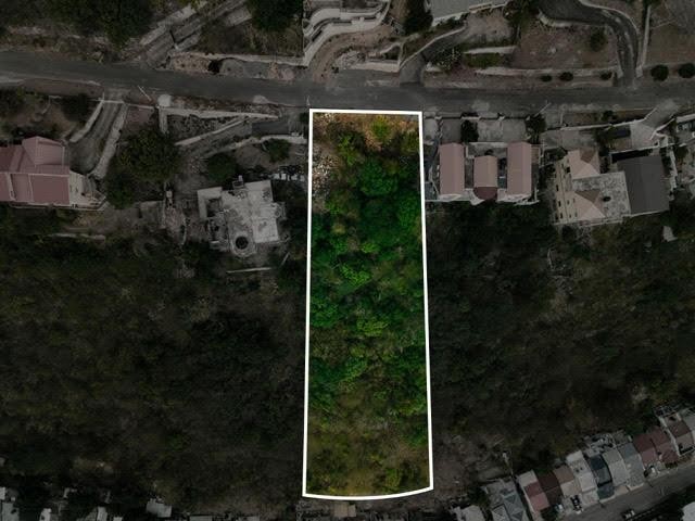
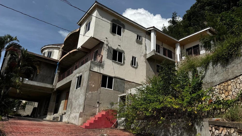
QUEEN HILL, CATHERINE DRIVE, Forest Hills/ Plantation Height, St. Andrew
Property information for CATHERINE DRIVE, KINGSTON 19, Forest Hills/ Plantation Height, St. Andrew
AI-powered estimation based on comprehensive analysis of location, demographics, infrastructure, and market factors
Estimated Value (JMD)
JMD 55,574,615
Estimated Value (USD)
USD 370,497
Confidence Score
75%
Market Multiplier
0.92x
📊 Value Range Analysis
JMD Range:
JMD 44,459,692 - JMD 66,689,538
JMD 44,459,692 - JMD 66,689,538
📊 Analysis Details
Summary: AI analysis indicates a land value of JMD 55,574,615 based on 75% confidence analysis of population density, building count, facilities, and environmental factors.
Key Factors: Population density: 31369 people • Building count: 0 • Nearby facilities: 0 • Environmental score: 0.0% • Economic score: 0.0%
Tax Status: Not Available
Legal: Property appears to be legally registered
Improvements: Vacant land with development potential
Detailed analysis of buildings, attractions, and amenities in and around the property
🛣️ Transport Infrastructure
Catherine Drive
Distance: 45.6m - Type: residential📍 View Location
Circle Close
Distance: 186.8m - Type: residential📍 View Location
residential
Distance: 191.9m - Type: residential📍 View Location
Marie Road
Distance: 204.5m - Type: residential📍 View Location
Ridgeway Road
Distance: 218.8m - Type: residential📍 View Location