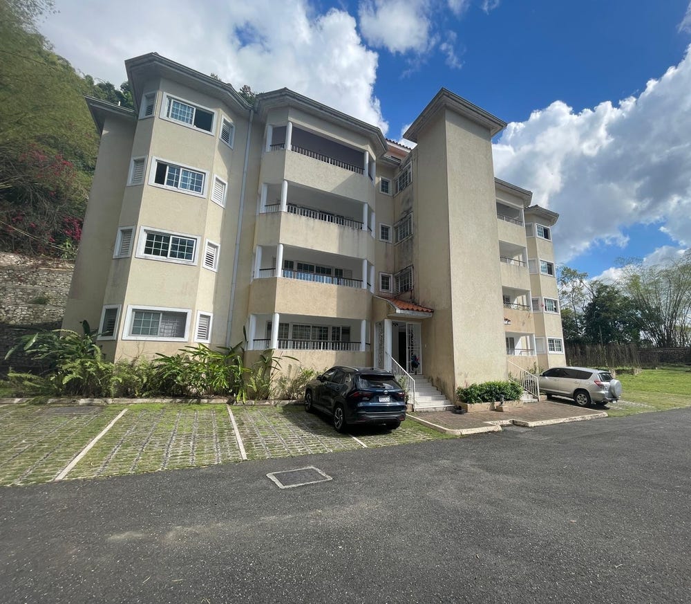
🗺️ Property Map

Interactive map showing the exact property boundaries and location

Loading map...

Interactive property boundary map located in Gordon Town, St. Andrew parish, Jamaica.

Tax & Investment Information

What you get when you unlock this parcel

Boundary maps, lot size, scheme details, AI valuation insight and OFMOP local context are already free on this page. The unlock adds the verified Tax & Ownership record:

  • 👤 Owner of record — name and registered address from TAJ
  • 💰 Annual property tax — current amount due + paid/unpaid status from TAJ
  • 📊 Assessed value — the unimproved value TAJ uses to compute the tax
  • 📜 Payment history — recent tax-payment entries on the parcel

Tax records sourced from Tax Administration Jamaica (TAJ). Land boundaries and lot dimensions come from the National Land Agency (NLA) and are already on this page.

One-time per parcel, or unlimited with Premium. Receipts in your customer portal.

AI-powered estimation based on comprehensive analysis of location, demographics, infrastructure, and market factors

Estimated Value (JMD)
JMD 41,703,403
Estimated Value (USD)
USD 278,023
Confidence Score
75%
Market Multiplier
0.92x
📊 Value Range Analysis
JMD Range:
JMD 33,362,722 - JMD 50,044,084
📊 Analysis Details
Summary: AI analysis indicates a land value of JMD 41,703,403 based on 75% confidence analysis of population density, building count, facilities, and environmental factors.
Key Factors: Population density: 520130 people • Building count: 0 • Nearby facilities: 0 • Environmental score: 0.0% • Economic score: 0.0%
Tax Status: Not Available
Legal: Property appears to be legally registered
Improvements: Vacant land with development potential

In and Around

Buildings, public facilities, attractions and transport identified at or near this parcel — sourced from OpenStreetMap and our analysis pipeline.

Transport

3

Property record

ID: 277801

This 16,187 m² parcel measures roughly 178 m wide by 205 m deep, with a 19-vertex boundary.

St. Andrew is a southeastern parish — suburban and residential in character, surrounding the capital city.

Surrey County is the eastern third of Jamaica, anchored by Kingston and the Blue Mountains.

Located 1.6 km from the centre of Gordon Town and 9.5 km from Half Way Tree, the parish capital.

OpenStreetMap places this parcel within Mavis Bank Road, Gordon Town, Saint Andrew, Surrey County, Jamaica. OSM classifies the surrounding area as tertiary.

Satellite imagery shows no structures inside the boundary — currently appearing undeveloped.

Vegetation cover reads as high green (NDVI 0.70).

Nearest highway: Mavis Bank Road, approximately 401 m from the parcel boundary.

OFMOP records 13 indexed public facilities; 7 transit routes; garbage collected by MPM on Saturday, Sunday for this district.

Indicative AI valuation: JMD 41,703,403 ≈ USD 278,023 (75% confidence).

🏠 Nearby on the market

🏠 Real Estate Investment Opportunities

Discover properties for sale and rent in this prime location. Perfect for investors looking for opportunities in this growing area.

💰Properties for Sale

1 Available
IRISH TOWN ROAD
FOR SALE
1 / 10

IRISH TOWN ROAD

JMD $45,000,000

🛏️2 beds
🚿3 baths
📏1,400.00 sq ft
🏢1,400.00 sq ft

👨‍💼Lelia Deslandes-johnson

🏢CAVENDISH INT'L REALTY LTD

🏠Properties for Rent

0 Available
🏠

No Properties for Rent

Currently no properties available for rent in this area.

📊 Investment Summary

1
Properties for Sale
0
Properties for Rent
1
Total Opportunities

Checking access...

About Gordon Town

Community data powered by OFMOP — Out of Many, One People.

Facilities serving Gordon Town

  • Edna Manley College of the Visual & Performing ArtsTertiary
  • Excelsior Community CollegeTertiary
  • GORDON TOWNPost Office
  • Louise Bennett Coverley PrimarySchool
  • Shortwood Teachers' CollegeTertiary
  • St. Joseph's Teachers' CollegeTertiary
  • St. Martin de Porres PrimarySchool
  • The Mico University CollegeTertiary
All facilities in Gordon Town on OFMOP

Transit routes through Gordon Town

7 routes serve this district.

  • Grande Hole - Half Way TreeRoute 52BJutc
  • Hermitage - CityRoute 66Jutc
  • Gordon Town - CityRoute 61Jutc
  • Temple Hall - CityRoute 52AJutc
  • Mount Charles - Hagley GapRoute MOUTaxi Rank
Transit details for Gordon Town on OFMOP

Garbage collection

Residential garbage in Gordon Town is collected by MPM on Saturday, Sunday. Waste is hauled to riverton disposal site.

Garbage schedule for Gordon Town on OFMOP

Nearby fuel stations

  • IndependentLOT #1 HARBOUR HEAD, NORMAN MANLEY P.A., KINGSTON
    ULSD · J$228
  • Johnsons Petroleum34 BEECHWOOD AVENUE, KINGSTON 5
    E10 87 · J$166.6ULSD · J$222.9
  • Total Jamaica250 SPANISH TOWN ROAD, KINGSTON
    E10 87 · J$183.7ULSD · J$215.8
Fuel stations around Gordon Town on OFMOP

Powered by Jurifi · Jamaica legal Q&A

Have a legal question about this property? Tap a prompt to open Jurifi with the parcel context already filled in.

AI assistance only. Not legal advice. Consult a Jamaican attorney before acting on any output.

Nearby Properties in Gordon Town