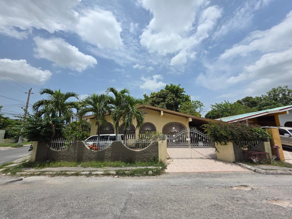
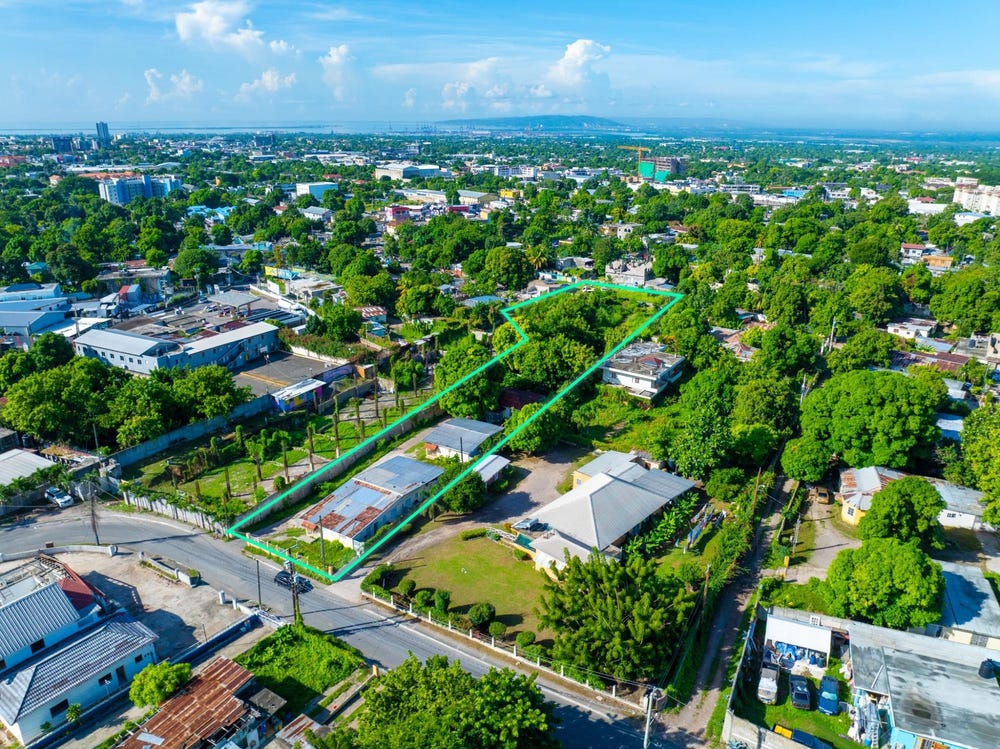
58 1/2 MANNINGS HILL ROAD, MARY CRANE, Havendale, St. Andrew
Property information for 58 1/2 MANNINGS HILL ROAD, KINGSTON 8, Havendale, St. Andrew
🗺️ Property Map
Interactive map showing the exact property boundaries and location
Loading map...
AI-powered estimation based on comprehensive analysis of location, demographics, infrastructure, and market factors
Estimated Value (JMD)
JMD 61,763,560
Estimated Value (USD)
USD 411,757
Confidence Score
80%
Market Multiplier
1.02x
📊 Value Range Analysis
JMD Range:
JMD 49,410,848 - JMD 74,116,272
JMD 49,410,848 - JMD 74,116,272
📊 Analysis Details
Summary: AI analysis indicates a land value of JMD 61,763,560 based on 80% confidence analysis of population density, building count, facilities, and environmental factors.
Key Factors: Population density: 23925 people • Building count: 3 • Nearby facilities: 0 • Environmental score: 0.0% • Economic score: 0.0%
Tax Status: Not Available
Legal: Property appears to be legally registered
Improvements: Property has existing structures
In and Around
Buildings, public facilities, attractions and transport identified at or near this parcel — sourced from OpenStreetMap and our analysis pipeline.
Public Facilities
1- Mennonite Basic SchoolNearby460 mSchool
Attractions
2- Swimming PoolNearby298 m
- Maloney ParkNearby484 m
Retail & Commercial
5- Gas StationNearby57 mFuel Station
- NCBNearby62 mATM
- Pizza HutNearby85 mFast Food
- Clifton ChurchNearby105 mPlace of Worship
- New Dale PharmacyNearby124 mPharmacy
Transport
3- ServiceNearby11 m
- Glen DriveNearby22 mResidential
- Border DriveNearby25 mResidential