70A MANNINGS HILL ROAD, MARY CRANE, Havendale, St. Andrew
Property information for 70A MANNINGS HILL ROAD, KINGSTON 8, Havendale, St. Andrew
🗺️ Property Map
Interactive map showing the exact property boundaries and location
Loading map...
AI-powered estimation based on comprehensive analysis of location, demographics, infrastructure, and market factors
Estimated Value (JMD)
JMD 78,401,578
Estimated Value (USD)
USD 522,677
Confidence Score
80%
Market Multiplier
1.02x
📊 Value Range Analysis
JMD Range:
JMD 62,721,262 - JMD 94,081,894
JMD 62,721,262 - JMD 94,081,894
📊 Analysis Details
Summary: AI analysis indicates a land value of JMD 78,401,578 based on 80% confidence analysis of population density, building count, facilities, and environmental factors.
Key Factors: Population density: 50423 people • Building count: 3 • Nearby facilities: 0 • Environmental score: 0.0% • Economic score: 0.0%
Tax Status: Not Available
Legal: Property appears to be legally registered
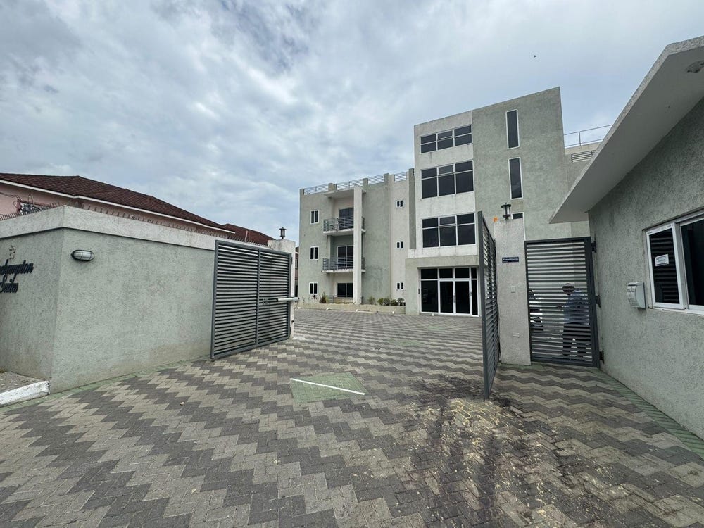
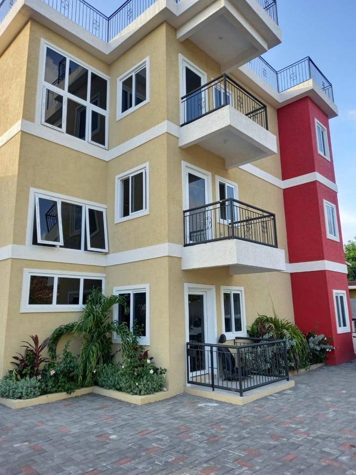
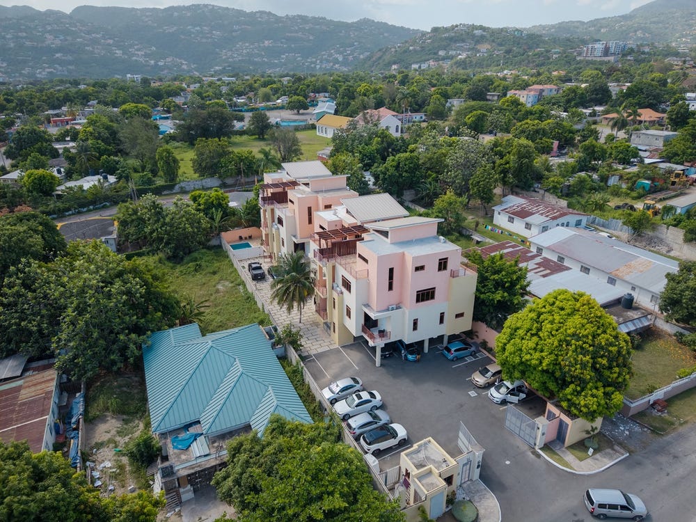
Improvements: Property has existing structures
In and Around
Buildings, public facilities, attractions and transport identified at or near this parcel — sourced from OpenStreetMap and our analysis pipeline.
Attractions
2- Maloney ParkNearby333 m
- Swimming PoolNearby337 m
Retail & Commercial
5- New Dale PharmacyNearby39 mPharmacy
- Family PrideNearby72 mShop
- Pizza HutNearby80 mFast Food
- NCBNearby113 mATM
- Gas StationNearby136 mFuel Station
Transport
3- Mary Crane LaneNearby11 mResidential
- ResidentialNearby15 m
- ServiceNearby48 m