Constitution Hill, Saint Andrew, Surrey County, Jamaica, Kintyre, St. Andrew
Property information for Kintyre, St. Andrew
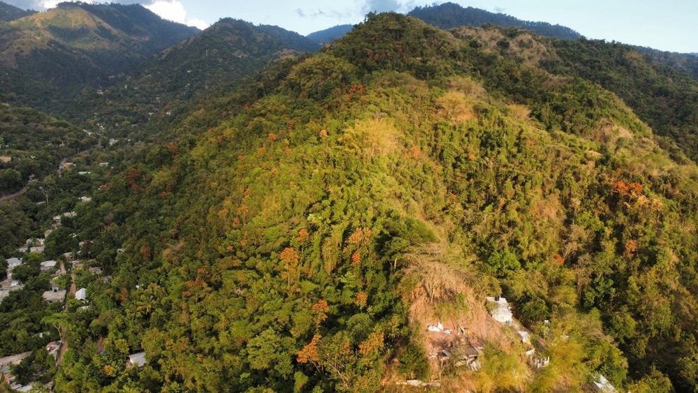
🗺️ Property Map
Interactive map showing the exact property boundaries and location
Loading map...
AI-powered estimation based on comprehensive analysis of location, demographics, infrastructure, and market factors
Estimated Value (JMD)
JMD 17,827,530
Estimated Value (USD)
USD 118,850
Confidence Score
75%
Market Multiplier
0.92x
📊 Value Range Analysis
JMD Range:
JMD 14,262,024 - JMD 21,393,036
JMD 14,262,024 - JMD 21,393,036
📊 Analysis Details
Summary: AI analysis indicates a land value of JMD 17,827,530 based on 75% confidence analysis of population density, building count, facilities, and environmental factors.
Key Factors: Population density: 97206 people • Building count: 0 • Nearby facilities: 0 • Environmental score: 0.0% • Economic score: 0.0%
Tax Status: Not Available
Legal: Property appears to be legally registered
Improvements: Vacant land with development potential
In and Around
Buildings, public facilities, attractions and transport identified at or near this parcel — sourced from OpenStreetMap and our analysis pipeline.