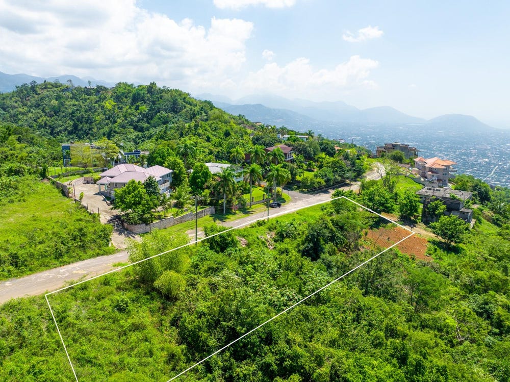
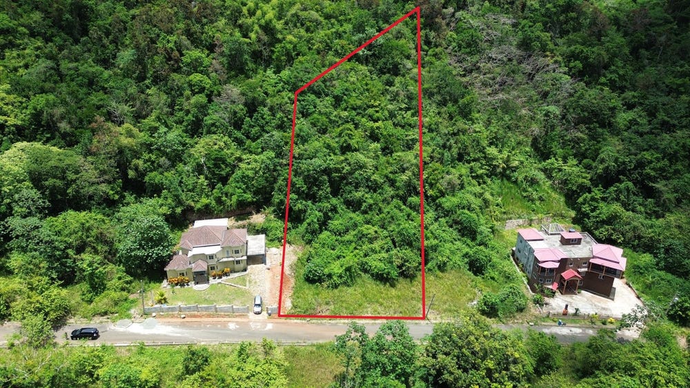
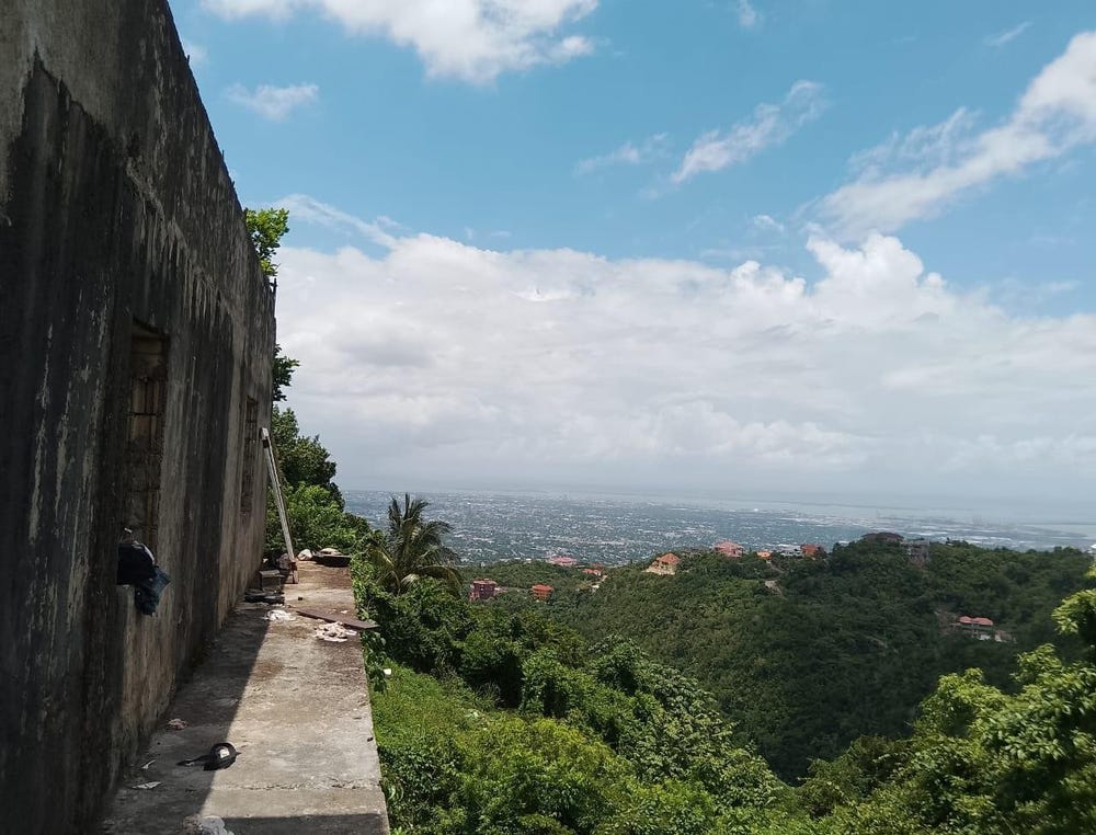
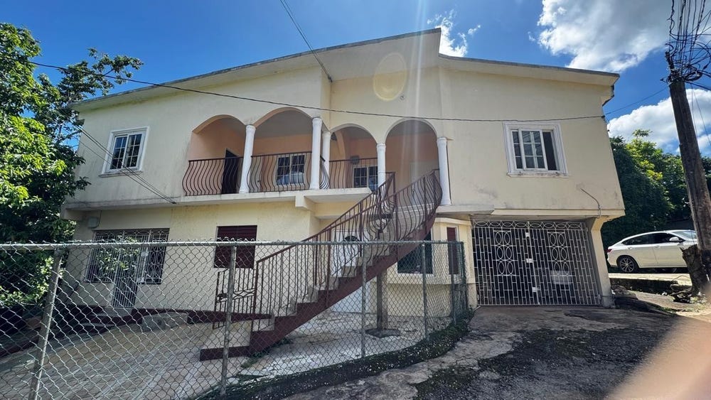
WHITEHALL MOUNTAIN, Mount Salus Road, Mannings Hill (Rural), St. Andrew
Property information for Mount Salus Road, RED HILLS P O, Mannings Hill (Rural), St. Andrew
🗺️ Property Map
Interactive map showing the exact property boundaries and location
Loading map...
AI-powered estimation based on comprehensive analysis of location, demographics, infrastructure, and market factors
Estimated Value (JMD)
JMD 23,140,909
Estimated Value (USD)
USD 154,273
Confidence Score
95%
Market Multiplier
0.97x
📊 Value Range Analysis
JMD Range:
JMD 18,512,727 - JMD 27,769,091
JMD 18,512,727 - JMD 27,769,091
📊 Analysis Details
Summary: AI analysis indicates a land value of JMD 23,140,909 based on 95% confidence analysis of population density, building count, facilities, and environmental factors.
Key Factors: Population density: 116071 people • Building count: 1 • Nearby facilities: 0 • Environmental score: 0.0% • Economic score: 0.0%
Tax Status: Available
Legal: Property appears to be legally registered
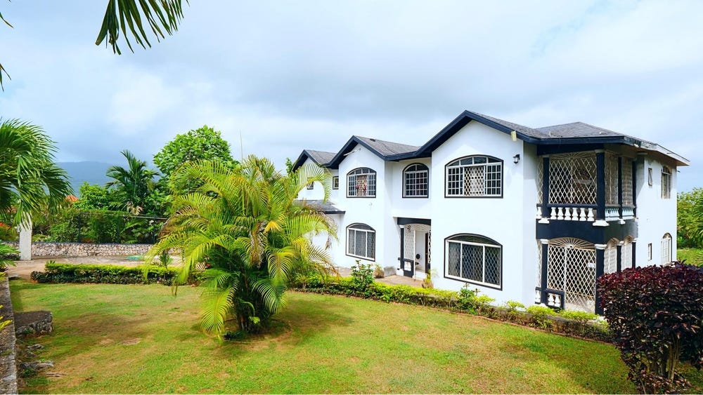
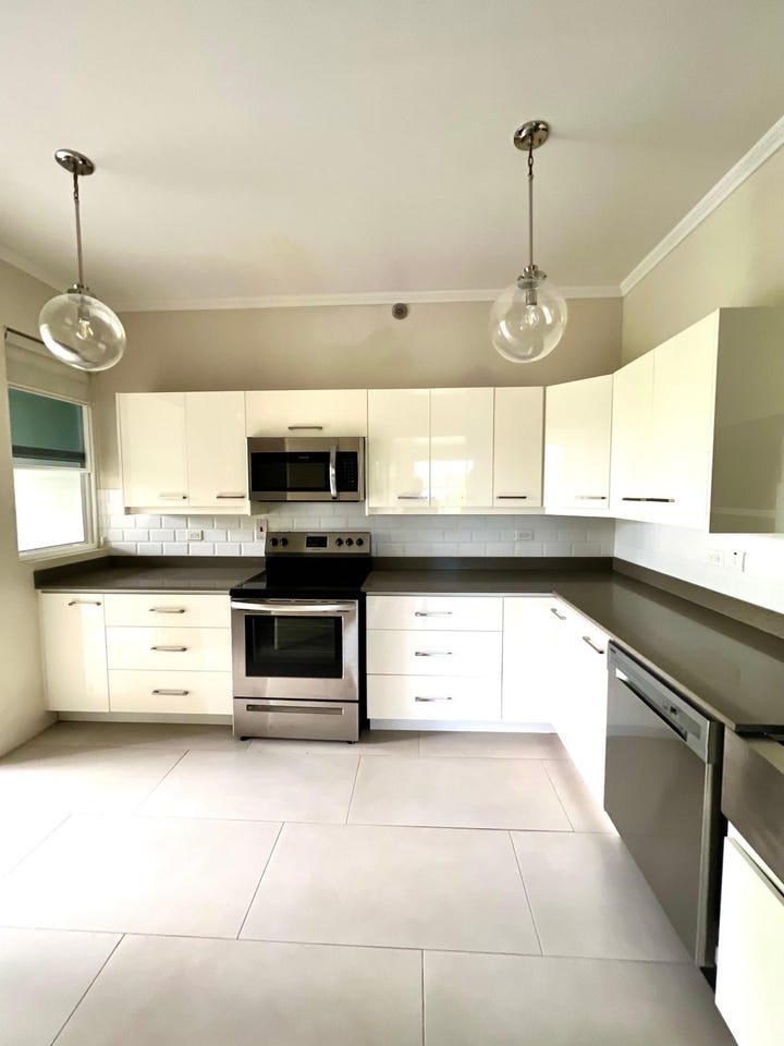
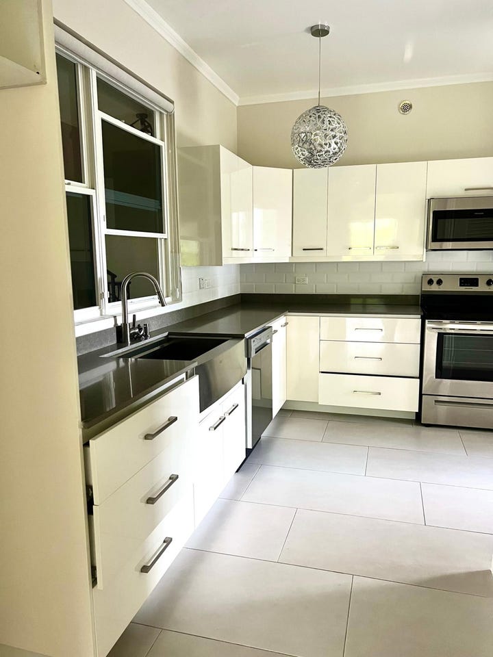
Improvements: Property has existing structures
In and Around
Buildings, public facilities, attractions and transport identified at or near this parcel — sourced from OpenStreetMap and our analysis pipeline.
Environment & Nature
1- Kingswood CaveNearby429 m
Transport
2- FootwayNearby149 m
- ServiceNearby176 m