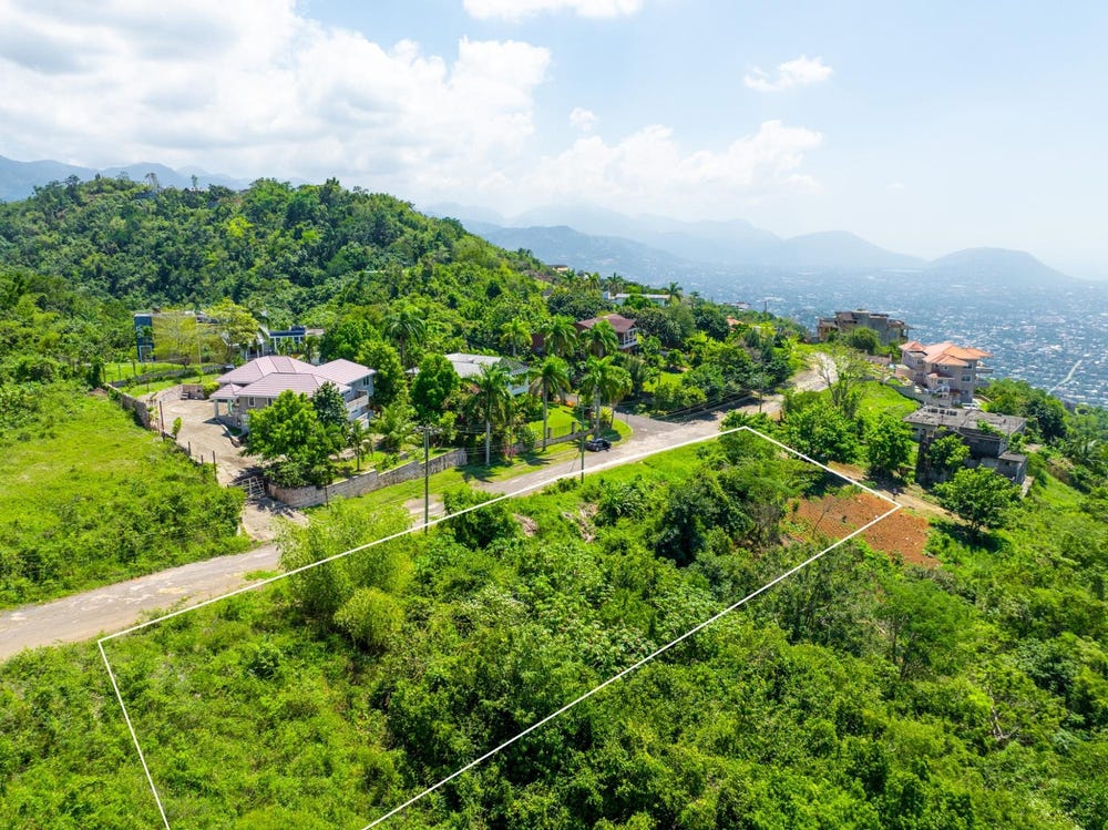
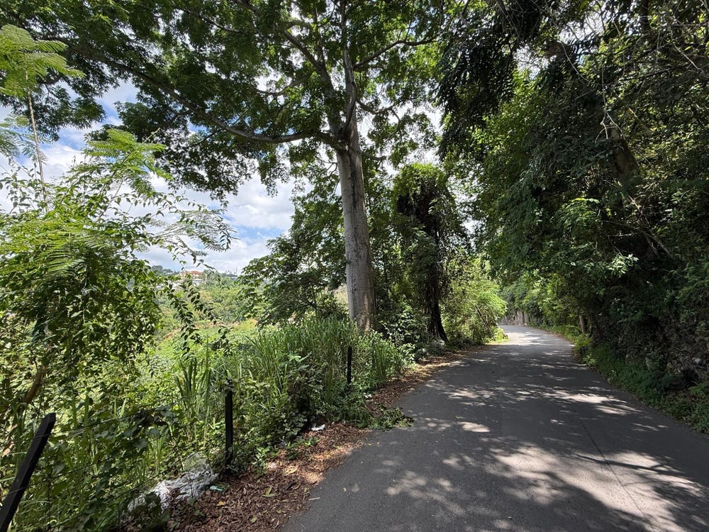
Wireless Station Road, Mannings Hill, St. Andrew
Property information for Wireless Station Road, Mannings Hill, St. Andrew
AI-powered estimation based on comprehensive analysis of location, demographics, infrastructure, and market factors
Estimated Value (JMD)
JMD 50,811,570
Estimated Value (USD)
USD 338,744
Confidence Score
75%
Market Multiplier
0.92x
📊 Value Range Analysis
JMD Range:
JMD 40,649,256 - JMD 60,973,884
JMD 40,649,256 - JMD 60,973,884
📊 Analysis Details
Summary: AI analysis indicates a land value of JMD 50,811,570 based on 75% confidence analysis of population density, building count, facilities, and environmental factors.
Key Factors: Population density: 37497 people • Building count: 0 • Nearby facilities: 0 • Environmental score: 0.0% • Economic score: 0.0%
Tax Status: Not Available
Legal: Property appears to be legally registered
Improvements: Vacant land with development potential
Detailed analysis of buildings, attractions, and amenities in and around the property
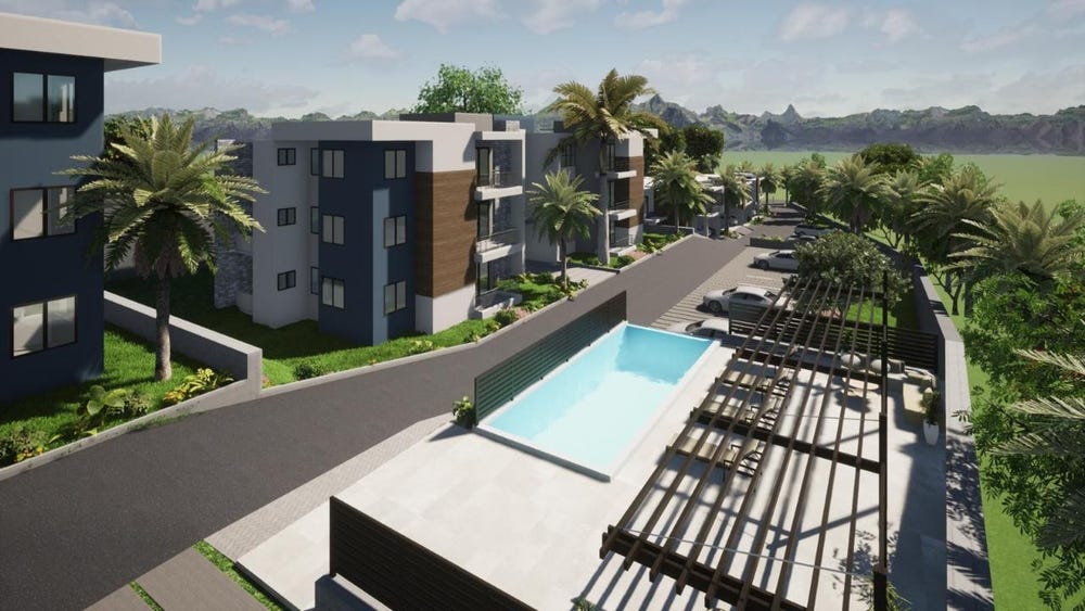
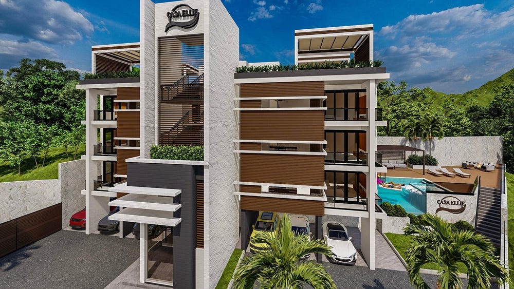
🏖️ Nearest Attractions (5)
swimming_pool
Distance: 60.4m📍 View Location
swimming_pool
Distance: 141.5m📍 View Location
swimming_pool
Distance: 253.9m📍 View Location
swimming_pool
Distance: 269.9m📍 View Location
swimming_pool
Distance: 277.6m📍 View Location
🌊 Nearest Natural Features (5)
wood
Distance: 50.4m📍 View Location
wood
Distance: 114.6m📍 View Location
wood
Distance: 119.4m📍 View Location
wood
Distance: 128.2m📍 View Location
wood
Distance: 222.0m📍 View Location
🛣️ Transport Infrastructure
footway (Inside)
Type: footway
Wire Drive
Distance: 2.4m - Type: residential📍 View Location
service
Distance: 23.0m - Type: service📍 View Location
service
Distance: 48.6m - Type: service📍 View Location
service
Distance: 48.7m - Type: service📍 View Location
service
Distance: 56.4m - Type: service📍 View Location