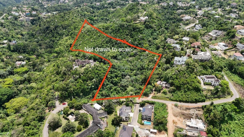
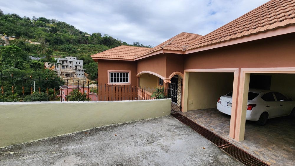
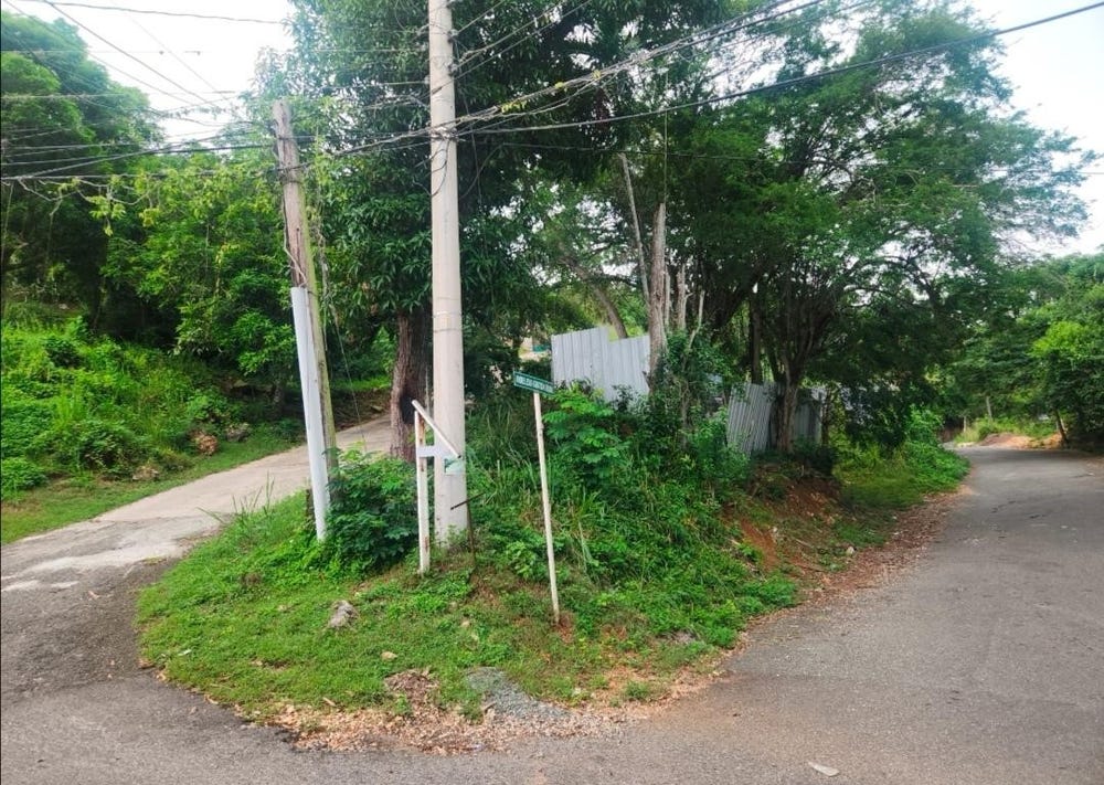
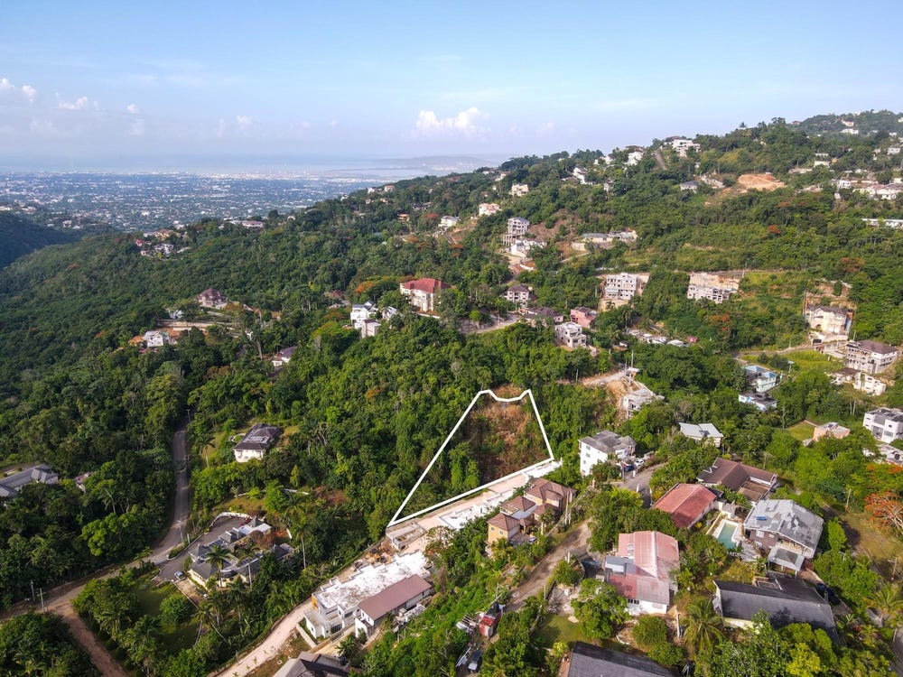
Wireless Station Road, Mannings Hill, St. Andrew
Property information for Wireless Station Road, Mannings Hill, St. Andrew
AI-powered estimation based on comprehensive analysis of location, demographics, infrastructure, and market factors
Estimated Value (JMD)
JMD 56,764,442
Estimated Value (USD)
USD 378,430
Confidence Score
75%
Market Multiplier
0.92x
📊 Value Range Analysis
JMD Range:
JMD 45,411,554 - JMD 68,117,330
JMD 45,411,554 - JMD 68,117,330
📊 Analysis Details
Summary: AI analysis indicates a land value of JMD 56,764,442 based on 75% confidence analysis of population density, building count, facilities, and environmental factors.
Key Factors: Population density: 25373 people • Building count: 0 • Nearby facilities: 0 • Environmental score: 0.0% • Economic score: 0.0%
Tax Status: Not Available
Legal: Property appears to be legally registered
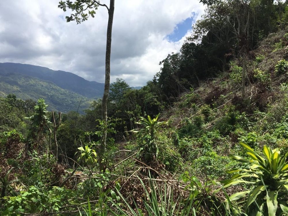
Improvements: Vacant land with development potential
Detailed analysis of buildings, attractions, and amenities in and around the property
🏖️ Nearest Attractions (5)
swimming_pool
Distance: 302.0m📍 View Location
swimming_pool
Distance: 352.9m📍 View Location
swimming_pool
Distance: 358.8m📍 View Location
swimming_pool
Distance: 368.1m📍 View Location
swimming_pool
Distance: 427.4m📍 View Location
🌊 Nearest Natural Features (5)
wood
Distance: 60.1m📍 View Location
wood
Distance: 132.5m📍 View Location
wood
Distance: 143.1m📍 View Location
wood
Distance: 199.4m📍 View Location
wood
Distance: 228.8m📍 View Location
🛣️ Transport Infrastructure
track (Inside)
Type: track
track (Inside)
Type: track
track (Inside)
Type: track
footway
Distance: 58.2m - Type: footway📍 View Location
residential
Distance: 66.6m - Type: residential📍 View Location
Wireless Close
Distance: 137.0m - Type: residential📍 View Location
service
Distance: 145.6m - Type: service📍 View Location
service
Distance: 155.4m - Type: service📍 View Location