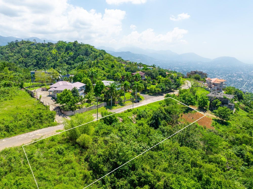
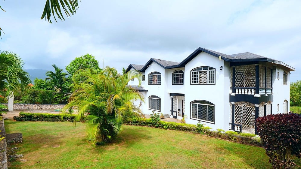
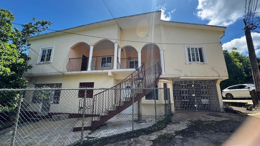
24 STONY HILL HEIGHTS, Wireless Station Road, Mannings Hill, St. Andrew
Property information for Wireless Station Road, STONY HILL P O, Mannings Hill, St. Andrew
AI-powered estimation based on comprehensive analysis of location, demographics, infrastructure, and market factors
Estimated Value (JMD)
JMD 23,645,925
Estimated Value (USD)
USD 157,640
Confidence Score
75%
Market Multiplier
0.92x
📊 Value Range Analysis
JMD Range:
JMD 18,916,740 - JMD 28,375,110
JMD 18,916,740 - JMD 28,375,110
📊 Analysis Details
Summary: AI analysis indicates a land value of JMD 23,645,925 based on 75% confidence analysis of population density, building count, facilities, and environmental factors.
Key Factors: Population density: 253069 people • Building count: 0 • Nearby facilities: 0 • Environmental score: 0.0% • Economic score: 0.0%
Tax Status: Not Available
Legal: Property appears to be legally registered
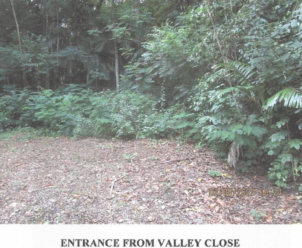
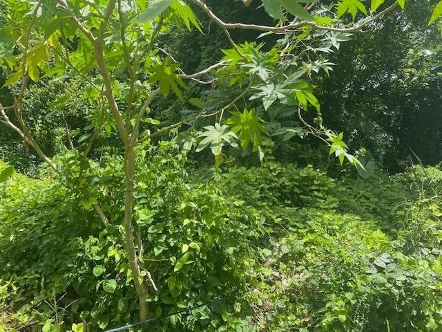
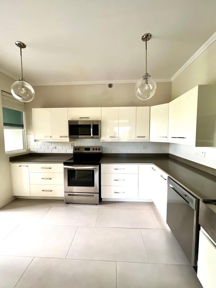
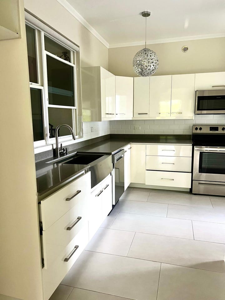
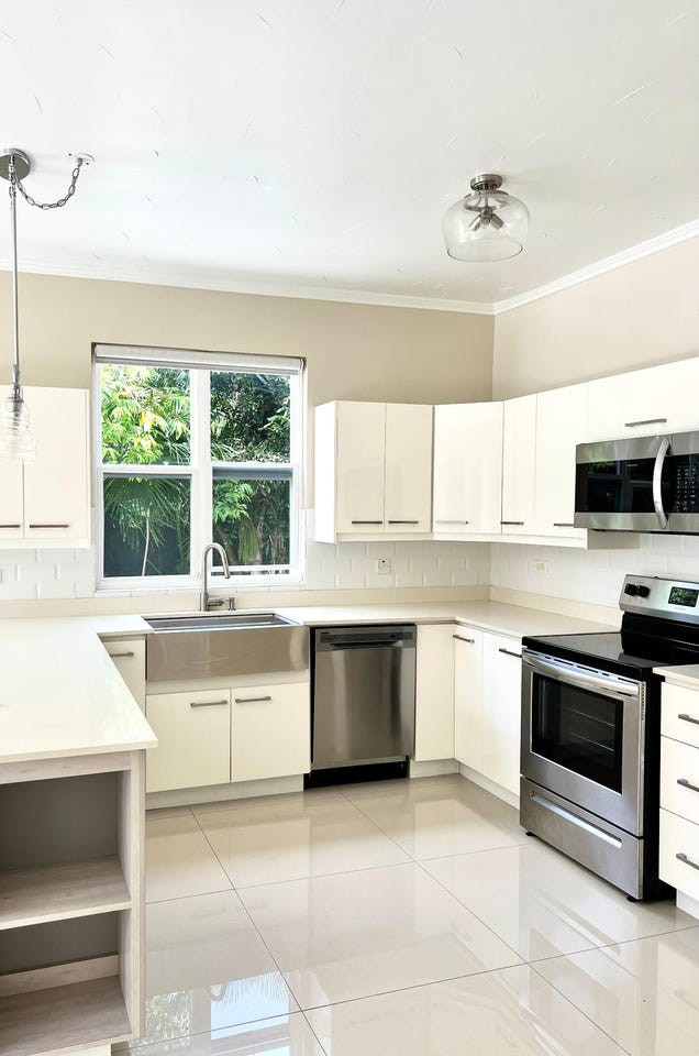
Improvements: Vacant land with development potential
Detailed analysis of buildings, attractions, and amenities in and around the property
🏖️ Nearest Attractions (5)
swimming_pool
Distance: 65.5m📍 View Location
swimming_pool
Distance: 146.7m📍 View Location
swimming_pool
Distance: 231.2m📍 View Location
swimming_pool
Distance: 265.5m📍 View Location
swimming_pool
Distance: 279.8m📍 View Location
🌊 Nearest Natural Features (5)
wood
Distance: 119.8m📍 View Location
wood
Distance: 124.6m📍 View Location
wood
Distance: 171.9m📍 View Location
wood
Distance: 200.7m📍 View Location
wood
Distance: 235.0m📍 View Location
🛣️ Transport Infrastructure
service (Inside)
Type: service
footway
Distance: 15.7m - Type: footway📍 View Location
turning_circle
Distance: 46.3m - Type: turning_circle📍 View Location
service
Distance: 68.9m - Type: service📍 View Location
service
Distance: 101.1m - Type: service📍 View Location
service
Distance: 127.3m - Type: service📍 View Location