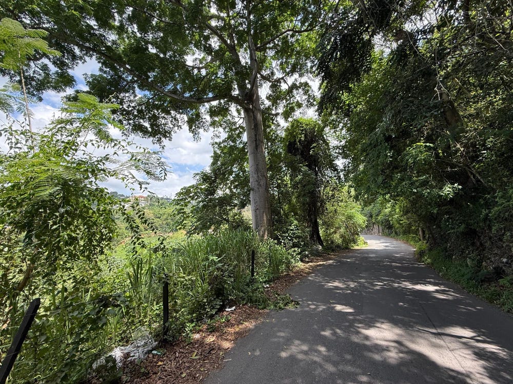
PART OF KINGSWOOD, Wireless Station Road, Mannings Hill, St. Andrew
Property information for Wireless Station Road, STONY HILL P O, Mannings Hill, St. Andrew
AI-powered estimation based on comprehensive analysis of location, demographics, infrastructure, and market factors
Estimated Value (JMD)
JMD 55,468,254
Estimated Value (USD)
USD 369,788
Confidence Score
95%
Market Multiplier
0.92x
📊 Value Range Analysis
JMD Range:
JMD 44,374,603 - JMD 66,561,905
JMD 44,374,603 - JMD 66,561,905
📊 Analysis Details
Summary: AI analysis indicates a land value of JMD 55,468,254 based on 95% confidence analysis of population density, building count, facilities, and environmental factors.
Key Factors: Population density: 6146 people • Building count: 0 • Nearby facilities: 0 • Environmental score: 0.0% • Economic score: 0.0%
Tax Status: Available
Legal: Property appears to be legally registered
Improvements: Vacant land with development potential
Detailed analysis of buildings, attractions, and amenities in and around the property
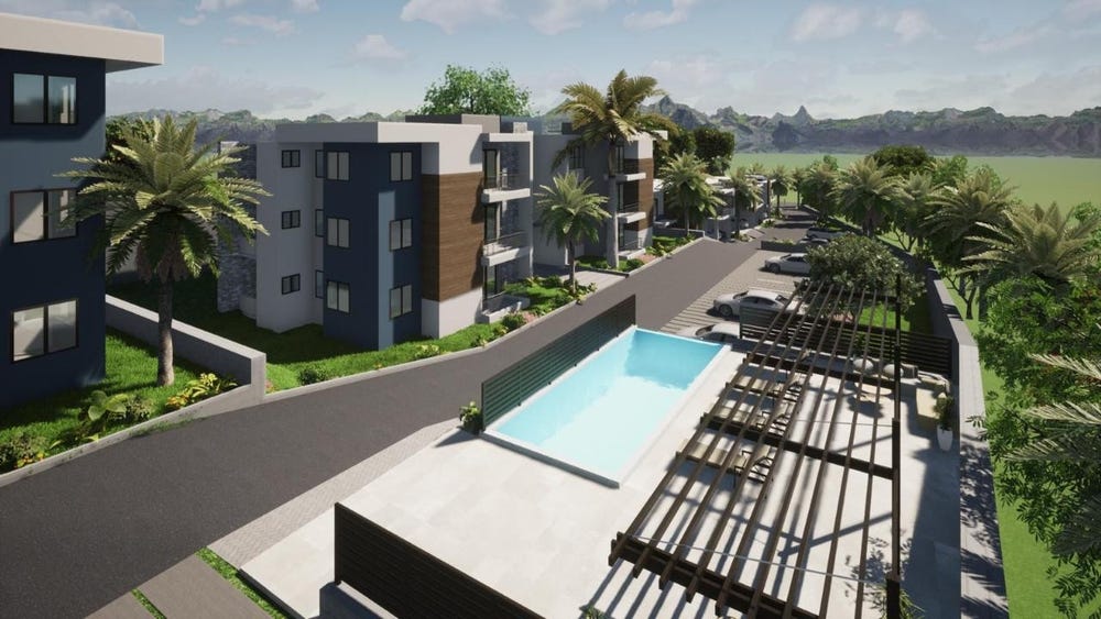
🏖️ Nearest Attractions (5)
swimming_pool
Distance: 40.5m📍 View Location
swimming_pool
Distance: 110.5m📍 View Location
swimming_pool
Distance: 140.1m📍 View Location
swimming_pool
Distance: 147.7m📍 View Location
swimming_pool
Distance: 248.3m📍 View Location
🌊 Nearest Natural Features (5)
wood
Distance: 56.8m📍 View Location
wood
Distance: 65.5m📍 View Location
wood
Distance: 82.7m📍 View Location
wood
Distance: 109.0m📍 View Location
wood
Distance: 111.2m📍 View Location
🛣️ Transport Infrastructure
footway
Distance: 53.2m - Type: footway📍 View Location
Wireless Station Road
Distance: 66.0m - Type: residential📍 View Location
service
Distance: 77.5m - Type: service📍 View Location
footway
Distance: 108.6m - Type: footway📍 View Location
service
Distance: 144.3m - Type: service📍 View Location