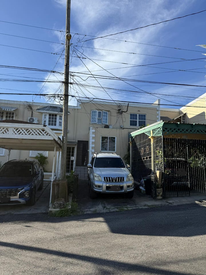
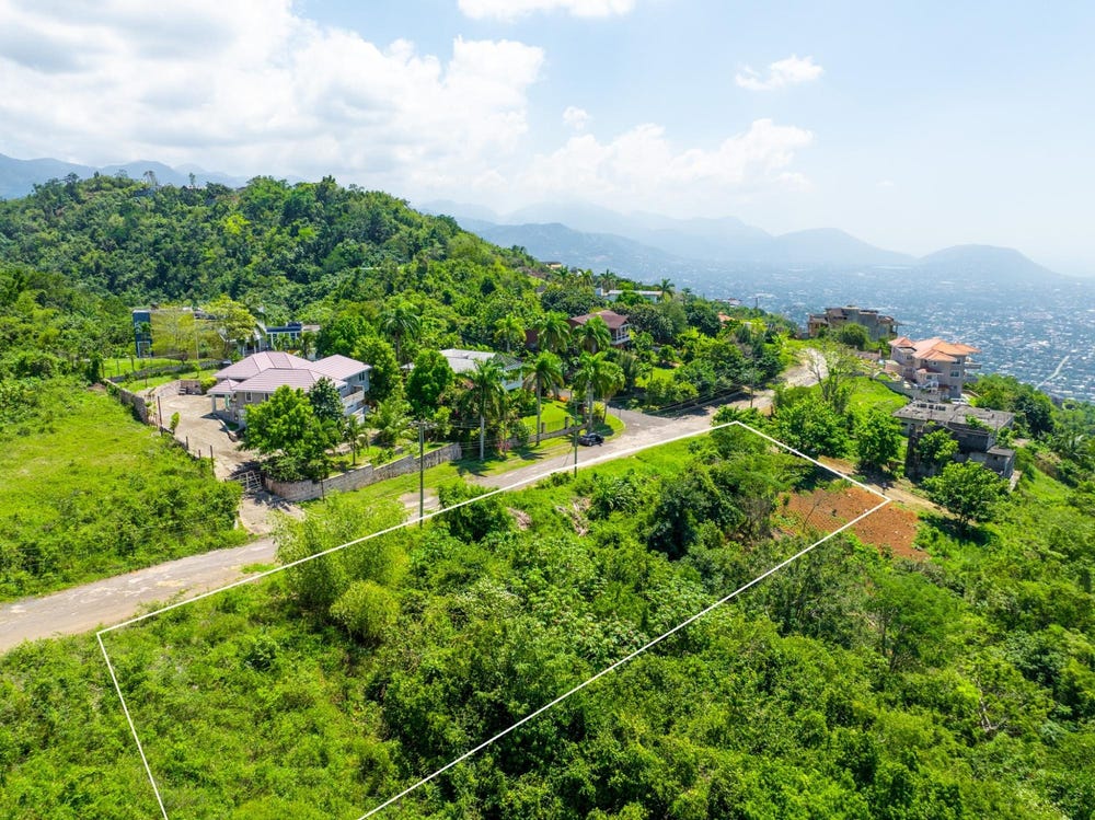
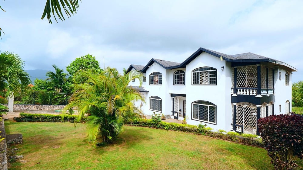
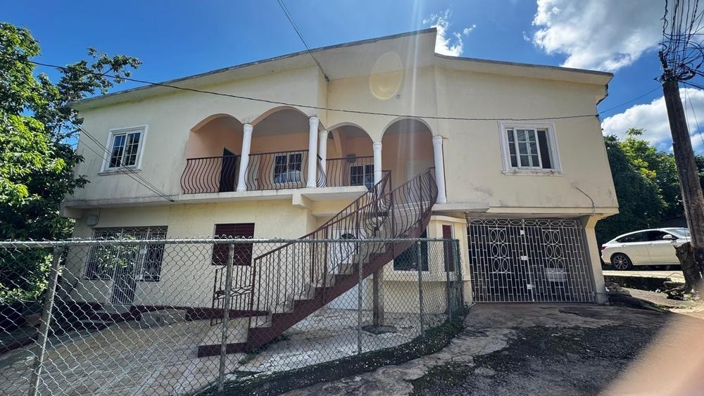
PEMBROKE HALL MOUNT, Mount Salus Road, Mannings Hill, St. Andrew
Property information for Mount Salus Road, KINGSTON 9, Mannings Hill, St. Andrew
AI-powered estimation based on comprehensive analysis of location, demographics, infrastructure, and market factors
Estimated Value (JMD)
JMD 20,245,422
Estimated Value (USD)
USD 134,969
Confidence Score
80%
Market Multiplier
1.02x
📊 Value Range Analysis
JMD Range:
JMD 16,196,338 - JMD 24,294,506
JMD 16,196,338 - JMD 24,294,506
📊 Analysis Details
Summary: AI analysis indicates a land value of JMD 20,245,422 based on 80% confidence analysis of population density, building count, facilities, and environmental factors.
Key Factors: Population density: 41875 people • Building count: 3 • Nearby facilities: 0 • Environmental score: 0.0% • Economic score: 0.0%
Tax Status: Not Available
Legal: Property appears to be legally registered
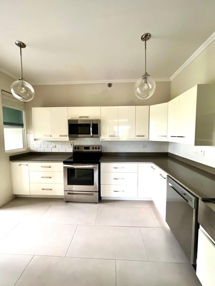
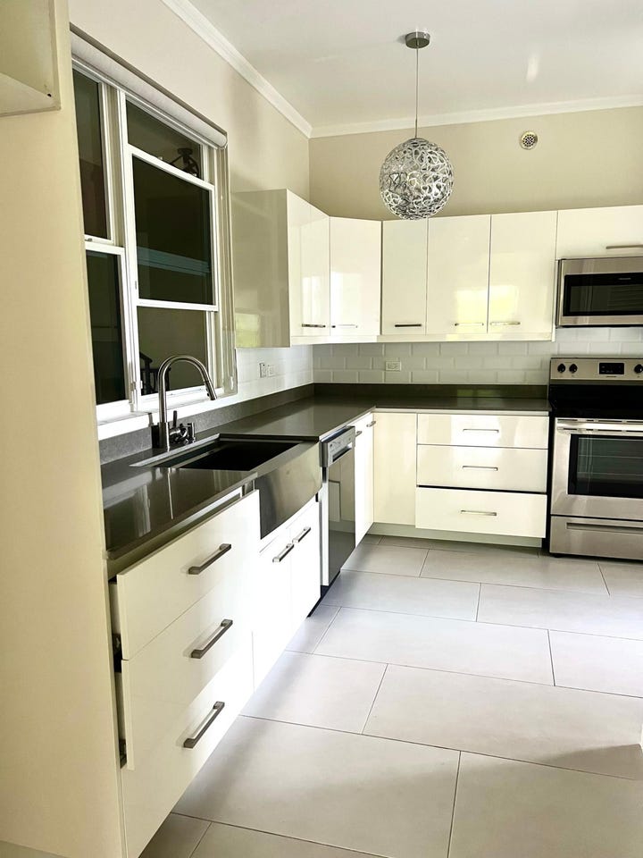
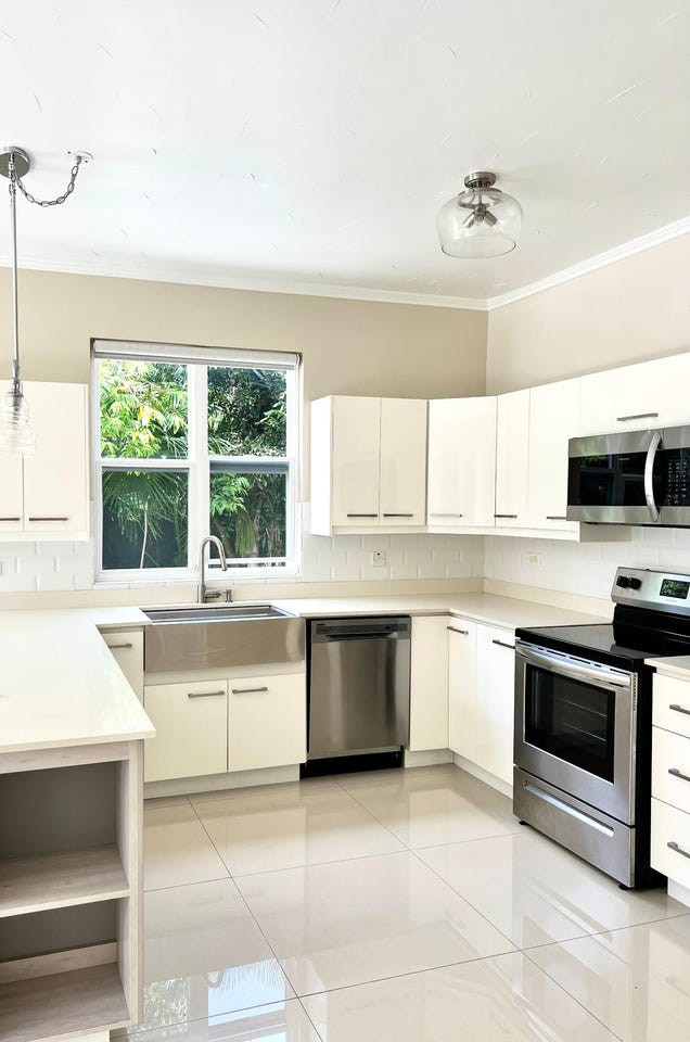
Improvements: Property has existing structures
Detailed analysis of buildings, attractions, and amenities in and around the property
🏖️ Nearest Attractions (1)
swimming_pool
Distance: 398.0m📍 View Location
🌊 Nearest Natural Features (5)
wood
Distance: 117.6m📍 View Location
wood
Distance: 125.8m📍 View Location
wood
Distance: 159.8m📍 View Location
wood
Distance: 366.4m📍 View Location
wood
Distance: 406.8m📍 View Location
🛣️ Transport Infrastructure
footway (Inside)
Type: footway
footway
Distance: 73.0m - Type: footway📍 View Location
Mount Salus Road
Distance: 104.9m - Type: residential📍 View Location
track
Distance: 141.3m - Type: track📍 View Location
residential
Distance: 175.1m - Type: residential📍 View Location
track
Distance: 178.6m - Type: track📍 View Location