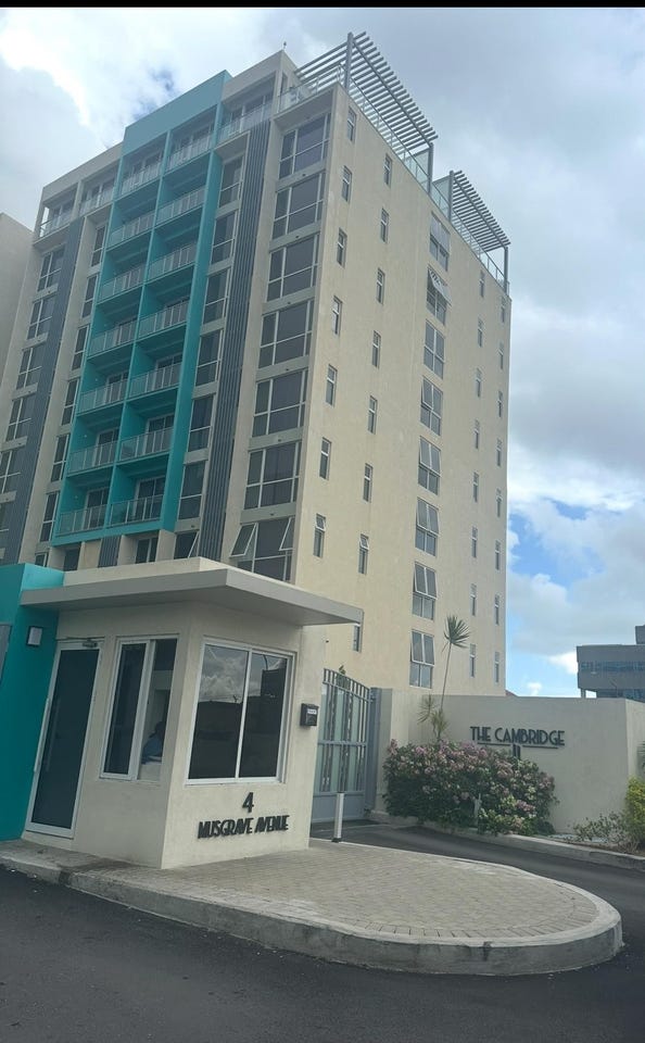
35, 8 HOLBORN ROAD, New Kingston, St. Andrew
Property information for 8 HOLBORN ROAD, KINGSTON 10, New Kingston, St. Andrew
🗺️ Property Map
Interactive map showing the exact property boundaries and location
Loading map...
AI-powered estimation based on comprehensive analysis of location, demographics, infrastructure, and market factors
Estimated Value (JMD)
JMD 4,470,282
Estimated Value (USD)
USD 29,802
Confidence Score
80%
Market Multiplier
0.97x
📊 Value Range Analysis
JMD Range:
JMD 3,576,226 - JMD 5,364,338
JMD 3,576,226 - JMD 5,364,338
📊 Analysis Details
Summary: AI analysis indicates a land value of JMD 4,470,282 based on 80% confidence analysis of population density, building count, facilities, and environmental factors.
Key Factors: Population density: 33693 people • Building count: 1 • Nearby facilities: 0 • Environmental score: 0.0% • Economic score: 0.0%
Tax Status: Not Available
Legal: Property appears to be legally registered
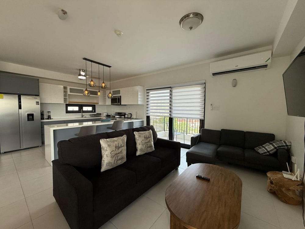
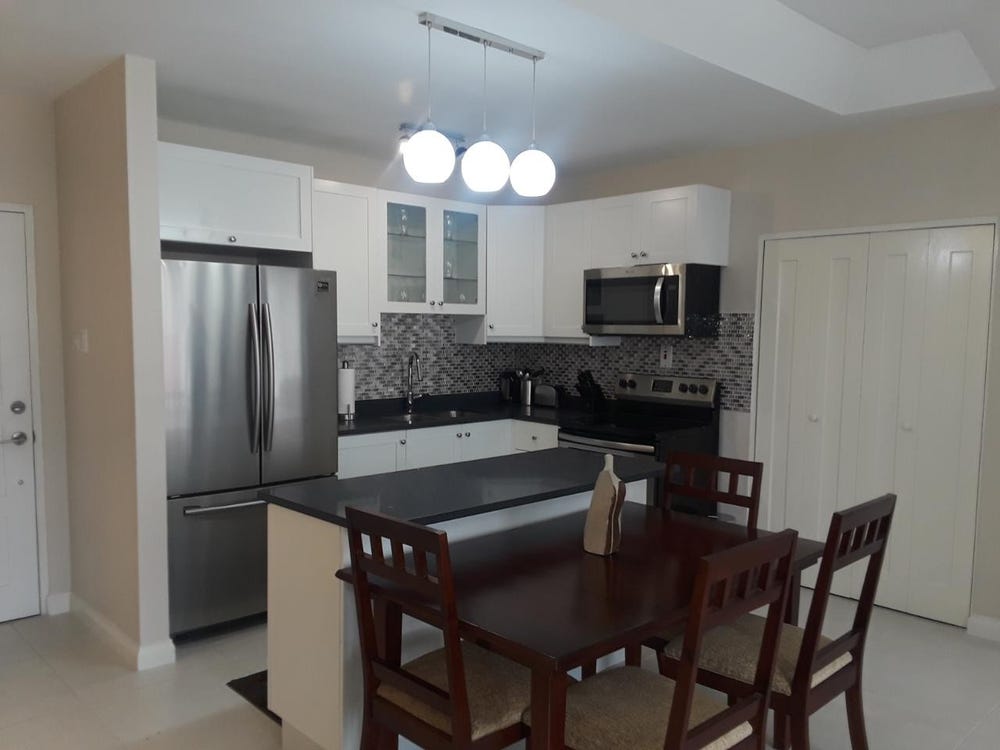
Improvements: Property has existing structures
In and Around
Buildings, public facilities, attractions and transport identified at or near this parcel — sourced from OpenStreetMap and our analysis pipeline.
Public Facilities
3- Centre For Investigation Of Sexual Offences & Child AbuseNearby101 mPolice Station
- New Kingston Police PostNearby450 mPolice Station
- Saint Andrew High School for GirlsNearby471 mSchool
Attractions
3- Ruthven Road Community playfieldNearby156 m
- Peter tosh museumNearby215 m
- Muscle Fitness & HealthNearby229 m
Retail & Commercial
5- NCB Drive Through ATMNearby110 mATM
- Knutsford ExpressNearby137 mBus Station
- Designer Fabrics & Ready to WearNearby213 mShop
- Mello-MoodsNearby223 mShop
- Supermed PharmacyNearby244 mPharmacy
Transport
3- Dumfries RoadNearby7 mResidential
- ServiceNearby39 m
- Renfrew RoadNearby81 mResidential