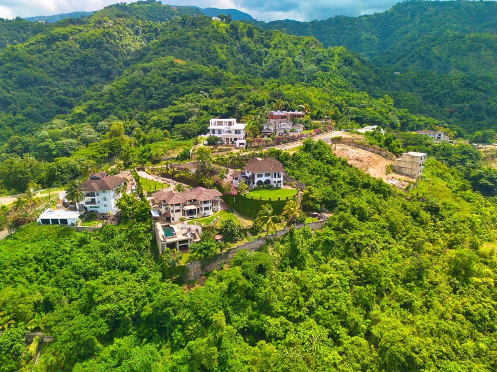
1 NORBROOK HEIGHTS, HILL ROAD, Norbrook, St. Andrew
Property information for HILL ROAD, KINGSTON 8, Norbrook, St. Andrew
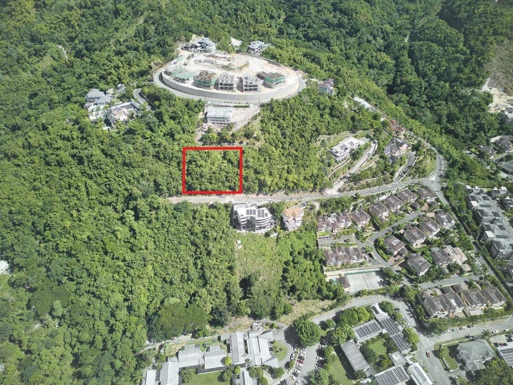
🗺️ Property Map
Interactive map showing the exact property boundaries and location
Loading map...
AI-powered estimation based on comprehensive analysis of location, demographics, infrastructure, and market factors
Estimated Value (JMD)
JMD 105,040,070
Estimated Value (USD)
USD 700,267
Confidence Score
95%
Market Multiplier
1.02x
📊 Value Range Analysis
JMD Range:
JMD 84,032,056 - JMD 126,048,084
JMD 84,032,056 - JMD 126,048,084
📊 Analysis Details
Summary: AI analysis indicates a land value of JMD 105,040,070 based on 95% confidence analysis of population density, building count, facilities, and environmental factors.
Key Factors: Population density: 56007 people • Building count: 3 • Nearby facilities: 0 • Environmental score: 0.0% • Economic score: 0.0%
Tax Status: Available
Legal: Property appears to be legally registered
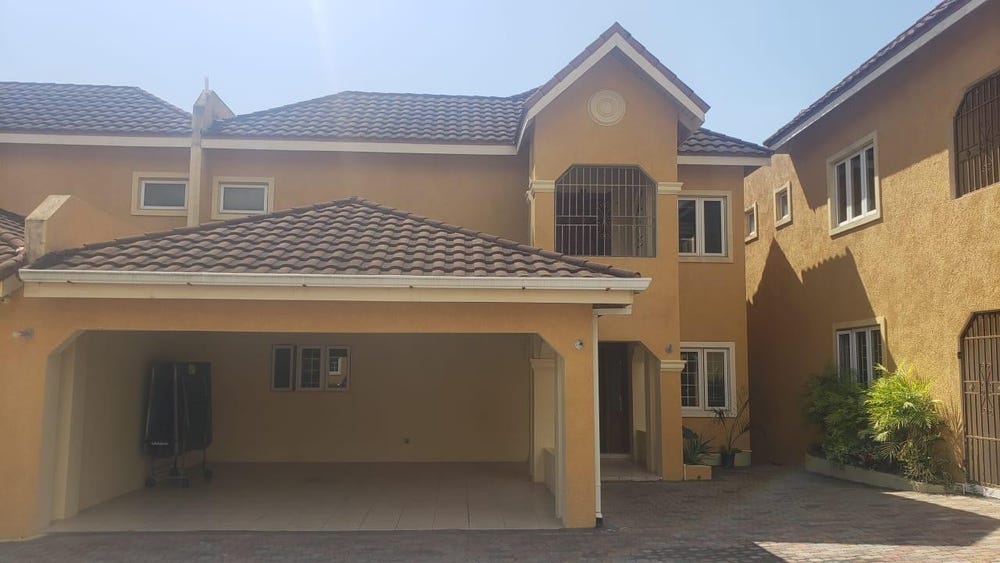
Improvements: Property has existing structures
In and Around
Buildings, public facilities, attractions and transport identified at or near this parcel — sourced from OpenStreetMap and our analysis pipeline.
Public Facilities
1- Hillel AcademyNearby174 mSchool
Attractions
1- Hillel Academy Swimming PoolNearby186 m
Transport
5- Norbrook - Woodford RoadNearby11 mUnclassified
- Hill RoadNearby11 mResidential
- ResidentialNearby78 m
- Norbury CloseNearby193 mResidential
- Norbrook WayNearby225 mResidential