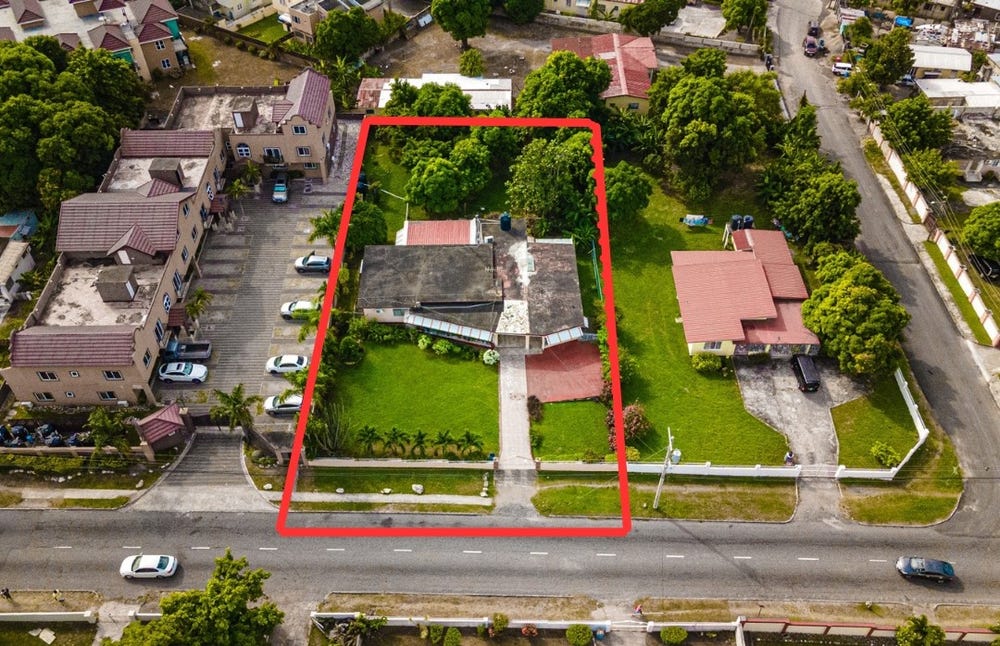
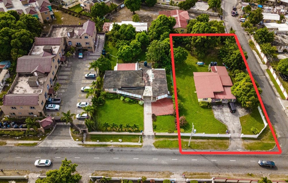
Addington Drive, Roehampton, St. Andrew
Property information for Addington Drive, Roehampton, St. Andrew
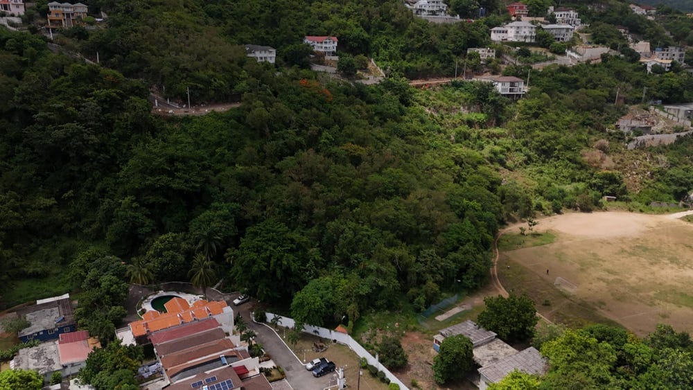
🗺️ Property Map
Interactive map showing the exact property boundaries and location
Loading map...
AI-powered estimation based on comprehensive analysis of location, demographics, infrastructure, and market factors
Estimated Value (JMD)
JMD 35,013,673
Estimated Value (USD)
USD 233,424
Confidence Score
75%
Market Multiplier
0.92x
📊 Value Range Analysis
JMD Range:
JMD 28,010,938 - JMD 42,016,408
JMD 28,010,938 - JMD 42,016,408
📊 Analysis Details
Summary: AI analysis indicates a land value of JMD 35,013,673 based on 75% confidence analysis of population density, building count, facilities, and environmental factors.
Key Factors: Population density: 15541 people • Building count: 0 • Nearby facilities: 0 • Environmental score: 0.0% • Economic score: 0.0%
Tax Status: Not Available
Legal: Property appears to be legally registered
Improvements: Vacant land with development potential
In and Around
Buildings, public facilities, attractions and transport identified at or near this parcel — sourced from OpenStreetMap and our analysis pipeline.
Public Facilities
2- St Richard's Primary SchoolNearby441 mSchool
- Meadowbrook PrepNearby475 mSchool
Attractions
1- Football/ netballfieldNearby333 m
Retail & Commercial
2- Parking EntranceNearby419 mParking Entrance
- Gas StationNearby451 mFuel Station
Transport
6- Addington DriveInsideResidential
- Barrington DriveNearby103 mResidential
- Rosedale DriveNearby121 mResidential
- Roehampton PathNearby159 mResidential
- Bellemar PlaceNearby186 mResidential
- Donmair ClNearby196 mResidential