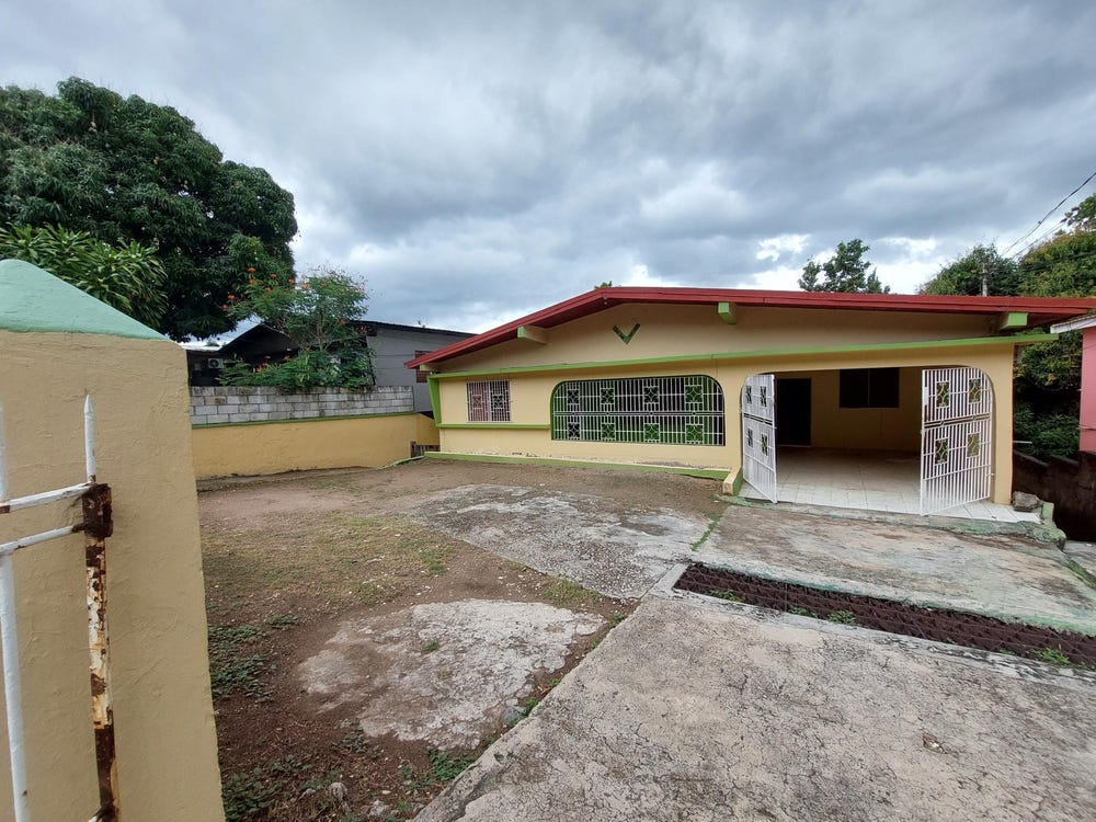
Border Avenue, Roehampton, St. Andrew
Property information for Border Avenue, Roehampton, St. Andrew
🗺️ Property Map
Interactive map showing the exact property boundaries and location
Loading map...
AI-powered estimation based on comprehensive analysis of location, demographics, infrastructure, and market factors
Estimated Value (JMD)
JMD 70,702,256
Estimated Value (USD)
USD 471,348
Confidence Score
75%
Market Multiplier
0.92x
📊 Value Range Analysis
JMD Range:
JMD 56,561,805 - JMD 84,842,707
JMD 56,561,805 - JMD 84,842,707
📊 Analysis Details
Summary: AI analysis indicates a land value of JMD 70,702,256 based on 75% confidence analysis of population density, building count, facilities, and environmental factors.
Key Factors: Population density: 7378 people • Building count: 0 • Nearby facilities: 0 • Environmental score: 0.0% • Economic score: 0.0%
Tax Status: Not Available
Legal: Property appears to be legally registered
Improvements: Vacant land with development potential
In and Around
Buildings, public facilities, attractions and transport identified at or near this parcel — sourced from OpenStreetMap and our analysis pipeline.
Attractions
3- Swimming PoolNearby96 m
- Football/ netballfieldNearby324 m
- Maloney ParkNearby422 m
Retail & Commercial
5- Family PrideNearby328 mShop
- Gas StationNearby342 mFuel Station
- NCBNearby351 mATM
- Pizza HutNearby359 mFast Food
- New Dale PharmacyNearby369 mPharmacy
Transport
5- Swallowfield AvenueNearby29 mResidential
- Roehampton CircleNearby58 mResidential
- ResidentialNearby138 m
- Westdale DriveNearby145 mResidential
- Roehampton CircNearby177 mResidential