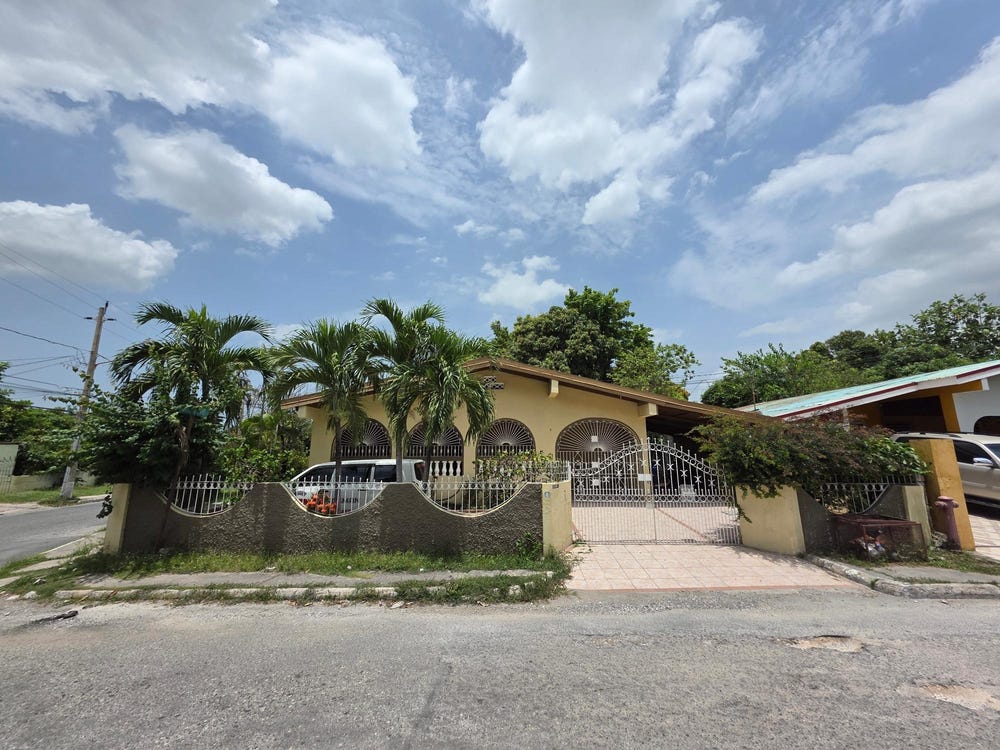
Roehampton Avenue, Roehampton, St. Andrew
Property information for Roehampton Avenue, Roehampton, St. Andrew
🗺️ Property Map
Interactive map showing the exact property boundaries and location
Loading map...
AI-powered estimation based on comprehensive analysis of location, demographics, infrastructure, and market factors
Estimated Value (JMD)
JMD 45,730,228
Estimated Value (USD)
USD 304,868
Confidence Score
80%
Market Multiplier
1.02x
📊 Value Range Analysis
JMD Range:
JMD 36,584,182 - JMD 54,876,274
JMD 36,584,182 - JMD 54,876,274
📊 Analysis Details
Summary: AI analysis indicates a land value of JMD 45,730,228 based on 80% confidence analysis of population density, building count, facilities, and environmental factors.
Key Factors: Population density: 11182 people • Building count: 3 • Nearby facilities: 0 • Environmental score: 0.0% • Economic score: 0.0%
Tax Status: Not Available
Legal: Property appears to be legally registered
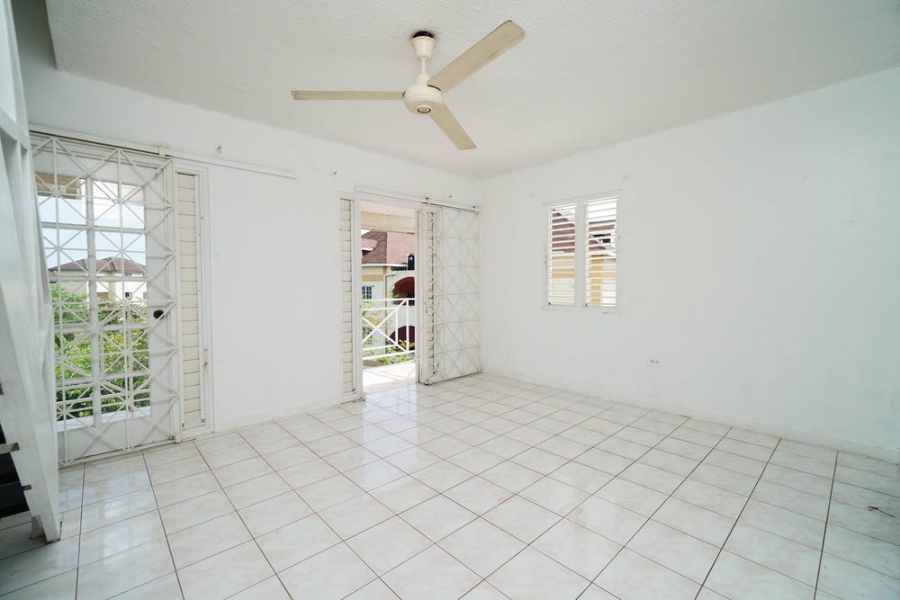
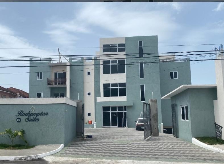
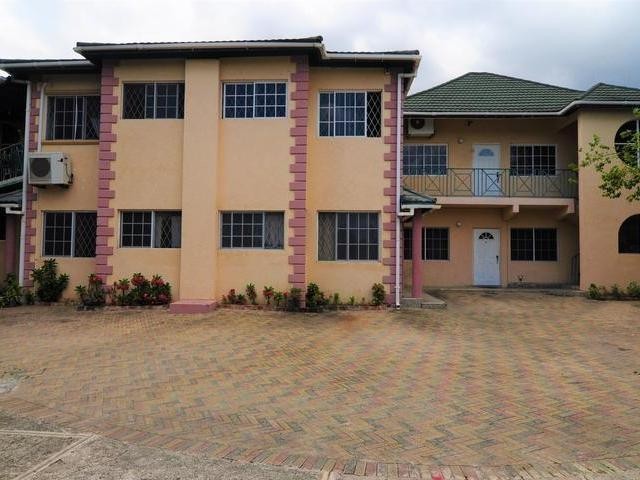
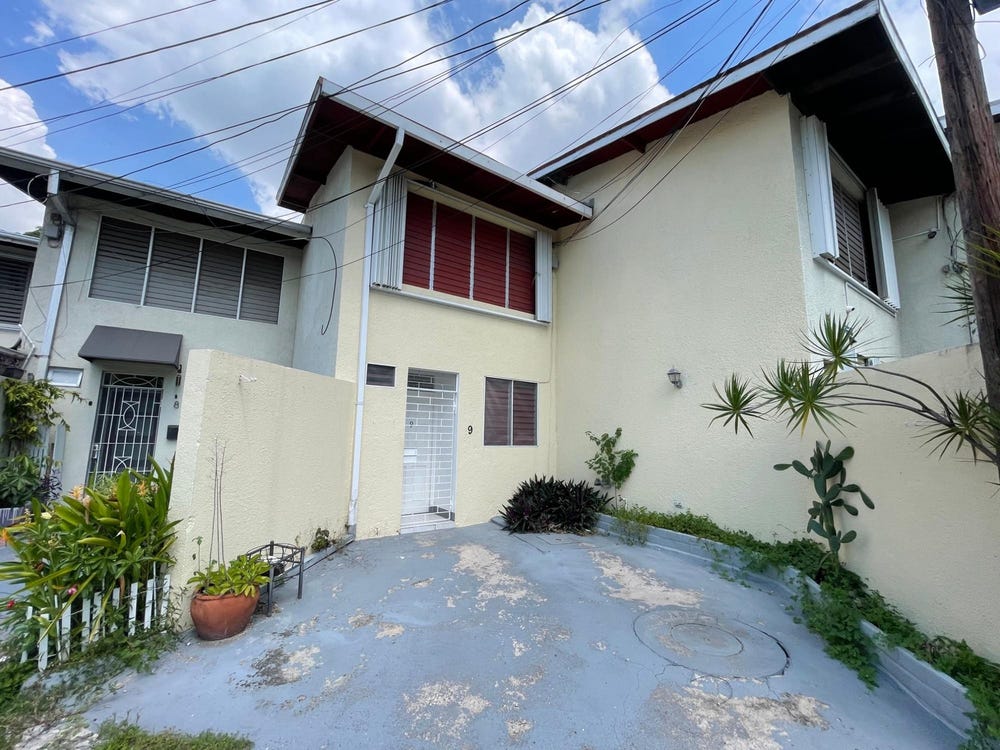
Improvements: Property has existing structures
In and Around
Buildings, public facilities, attractions and transport identified at or near this parcel — sourced from OpenStreetMap and our analysis pipeline.
Public Facilities
2- Swallow field Primary and Junior HighNearby375 mSchool
- Mennonite Basic SchoolNearby380 mSchool
Attractions
2- Swimming PoolNearby170 m
- Football/ netballfieldNearby428 m
Retail & Commercial
5- Gas StationNearby330 mFuel Station
- Clifton ChurchNearby339 mPlace of Worship
- NCBNearby351 mATM
- Pizza HutNearby379 mFast Food
- TasteeNearby380 mFast Food
Transport
5- Roehampton AvenueNearby29 mResidential
- Roehampton CircNearby32 mResidential
- ServiceNearby151 m
- Roehampton CircleNearby153 mResidential
- Westdale DriveNearby154 mResidential