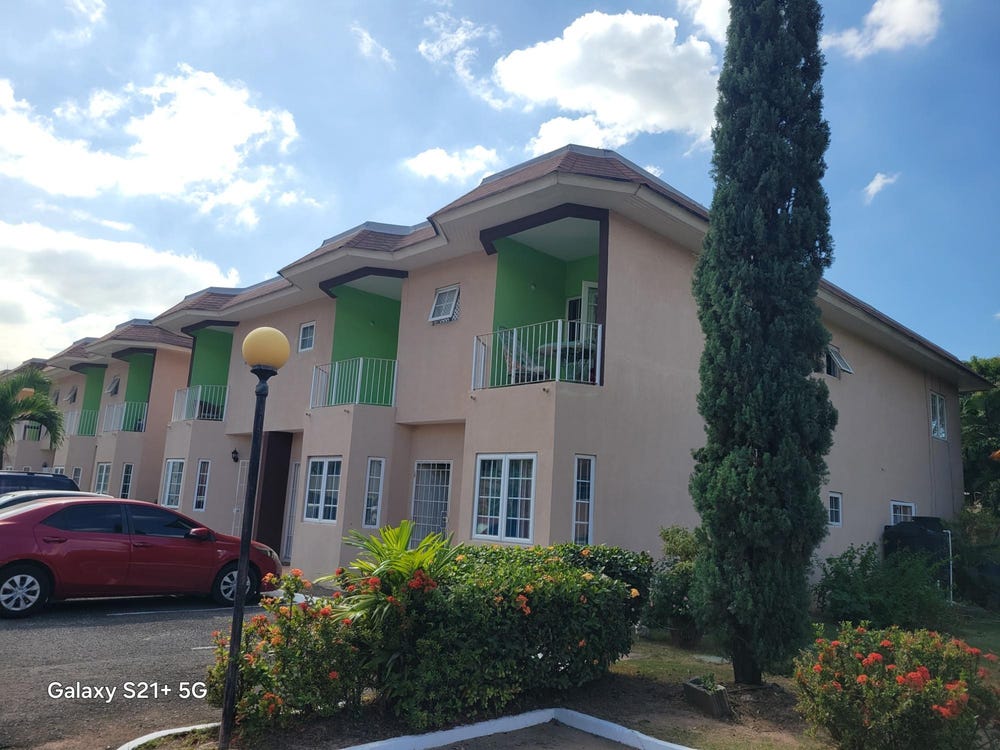
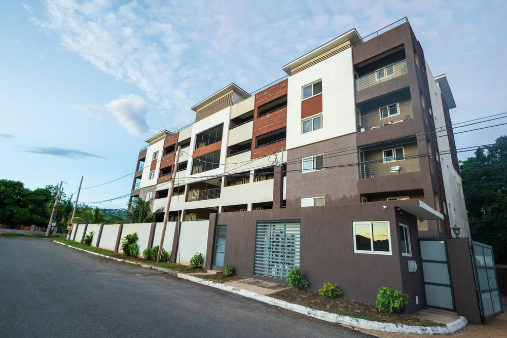
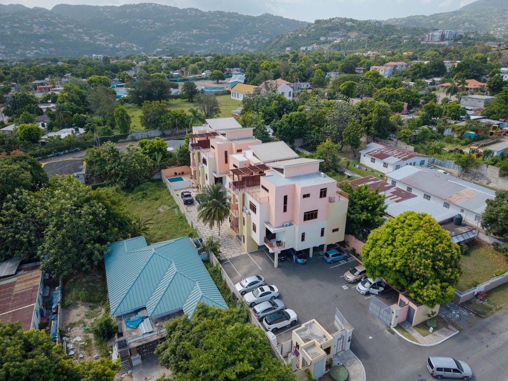
Roehampton Drive, Roehampton, St. Andrew
Property information for Roehampton Drive, Roehampton, St. Andrew
AI-powered estimation based on comprehensive analysis of location, demographics, infrastructure, and market factors
Estimated Value (JMD)
JMD 77,469,940
Estimated Value (USD)
USD 516,466
Confidence Score
80%
Market Multiplier
0.97x
📊 Value Range Analysis
JMD Range:
JMD 61,975,952 - JMD 92,963,928
JMD 61,975,952 - JMD 92,963,928
📊 Analysis Details
Summary: AI analysis indicates a land value of JMD 77,469,940 based on 80% confidence analysis of population density, building count, facilities, and environmental factors.
Key Factors: Population density: 137595 people • Building count: 2 • Nearby facilities: 0 • Environmental score: 0.0% • Economic score: 0.0%
Tax Status: Not Available
Legal: Property appears to be legally registered
Improvements: Property has existing structures
Detailed analysis of buildings, attractions, and amenities in and around the property
🏥 Nearest Public Facilities (1)
🏖️ Nearest Attractions (1)
Football/ netballfield
Distance: 168.5m📍 View Location
🛣️ Transport Infrastructure
Barrington Drive (Inside)
Type: residential
Rosedale Drive (Inside)
Type: residential
Bellemar Place (Inside)
Type: residential
Roehampton Avenue (Inside)
Type: residential
Roehampton Drive (Inside)
Type: tertiary
residential (Inside)
Type: residential
Roehampton Drive (Inside)
Type: tertiary
Roehampton Path
Distance: 52.9m - Type: residential📍 View Location
Westernham Drive
Distance: 58.8m - Type: residential📍 View Location
Roehampton Way
Distance: 63.3m - Type: residential📍 View Location
Roehampton Mews
Distance: 65.3m - Type: residential📍 View Location
Havendale Mews
Distance: 66.9m - Type: residential📍 View Location