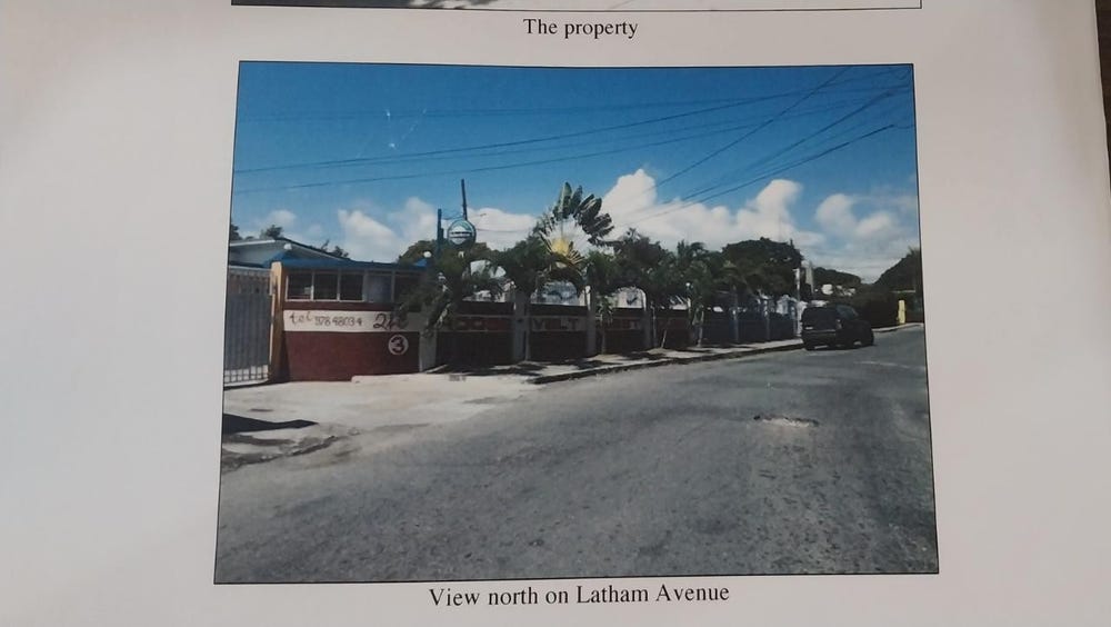
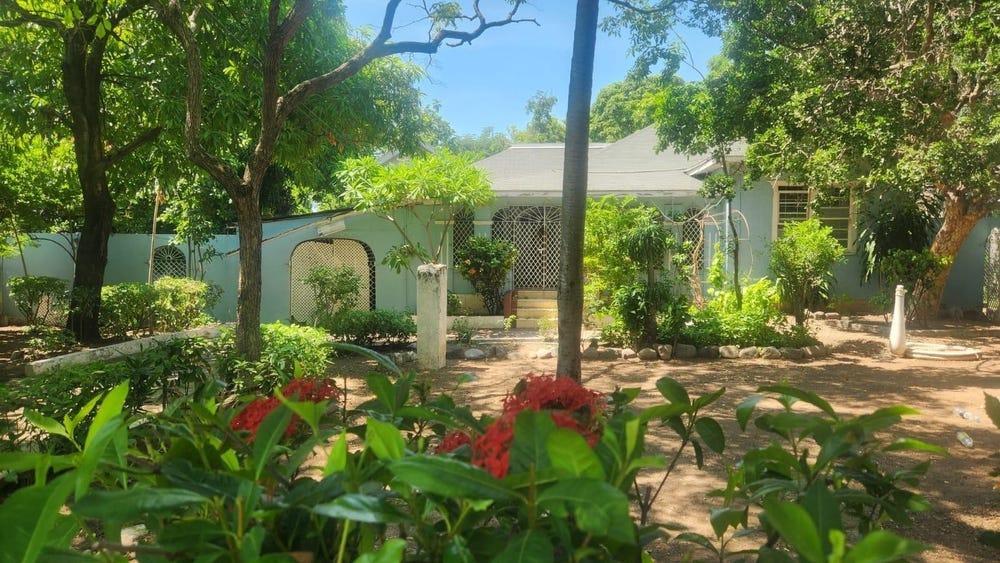
Roosevelt Avenue, Swallowfield, St. Andrew
Property information for Roosevelt Avenue, Swallowfield, St. Andrew
🗺️ Property Map
Interactive map showing the exact property boundaries and location
Loading map...
AI-powered estimation based on comprehensive analysis of location, demographics, infrastructure, and market factors
Estimated Value (JMD)
JMD 102,493,352
Estimated Value (USD)
USD 683,289
Confidence Score
75%
Market Multiplier
0.92x
📊 Value Range Analysis
JMD Range:
JMD 81,994,682 - JMD 122,992,022
JMD 81,994,682 - JMD 122,992,022
📊 Analysis Details
Summary: AI analysis indicates a land value of JMD 102,493,352 based on 75% confidence analysis of population density, building count, facilities, and environmental factors.
Key Factors: Population density: 27930 people • Building count: 0 • Nearby facilities: 0 • Environmental score: 0.0% • Economic score: 0.0%
Tax Status: Not Available
Legal: Property appears to be legally registered
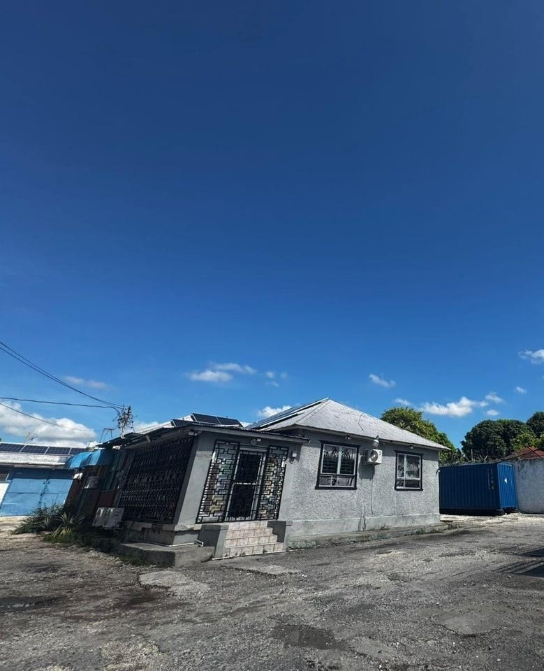
Improvements: Vacant land with development potential
In and Around
Buildings, public facilities, attractions and transport identified at or near this parcel — sourced from OpenStreetMap and our analysis pipeline.
Public Facilities
3- Stadium GardensInsidePolice Station
- Gaynstead HighSchoolNearby400 mSchool
- Bustamante Children HospitalNearby544 mHospital
Attractions
2- Bob Marley StatueNearby5 m
- Independence ParkNearby30 m
Retail & Commercial
4- Jerkaz Restaurant and BarNearby303 mRestaurant
- Horizons PharmacyNearby348 mPharmacy
- Hide-Out Sports BarNearby381 mBar
- Metro Car RentalNearby414 mCar Rental
Transport
5- Roosevelt AvenueInsideSecondary
- ServiceInside
- FootwayInside
- Statue RoadNearby40 mService
- ServiceNearby57 m