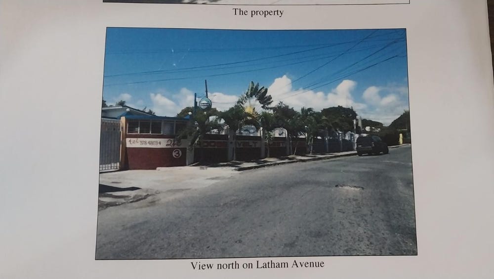
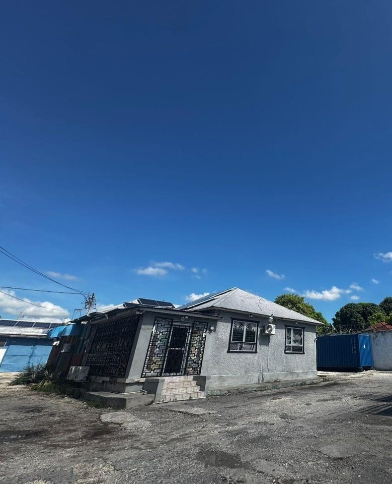
Roosevelt Avenue, Swallowfield, St. Andrew
Property information for Roosevelt Avenue, Swallowfield, St. Andrew
🗺️ Property Map
Interactive map showing the exact property boundaries and location
Loading map...
AI-powered estimation based on comprehensive analysis of location, demographics, infrastructure, and market factors
Estimated Value (JMD)
JMD 109,570,356
Estimated Value (USD)
USD 730,469
Confidence Score
80%
Market Multiplier
0.97x
📊 Value Range Analysis
JMD Range:
JMD 87,656,285 - JMD 131,484,427
JMD 87,656,285 - JMD 131,484,427
📊 Analysis Details
Summary: AI analysis indicates a land value of JMD 109,570,356 based on 80% confidence analysis of population density, building count, facilities, and environmental factors.
Key Factors: Population density: 345385 people • Building count: 1 • Nearby facilities: 0 • Environmental score: 0.0% • Economic score: 0.0%
Tax Status: Not Available
Legal: Property appears to be legally registered
Improvements: Property has existing structures
In and Around
Buildings, public facilities, attractions and transport identified at or near this parcel — sourced from OpenStreetMap and our analysis pipeline.
Buildings
1- New Mas CampInsideEvents Venue
Public Facilities
2- Stadium GardensNearby39 mPolice Station
- Bustamante Children HospitalNearby328 mHospital
Attractions
3- Bob Marley StatueNearby8 m
- Independence ParkNearby13 m
- Alhambra InnNearby107 m
Retail & Commercial
1- Jerkaz Restaurant and BarNearby232 mRestaurant
Transport
11- Statue RoadInsideService
- William Grant RoadInsideResidential
- Secondary LinkInsideSecondary Link
- Arthur Wint DriveInsideSecondary
- ResidentialInside
- Roosevelt AvenueInsideSecondary
- ServiceInside
- ServiceNearby7 m