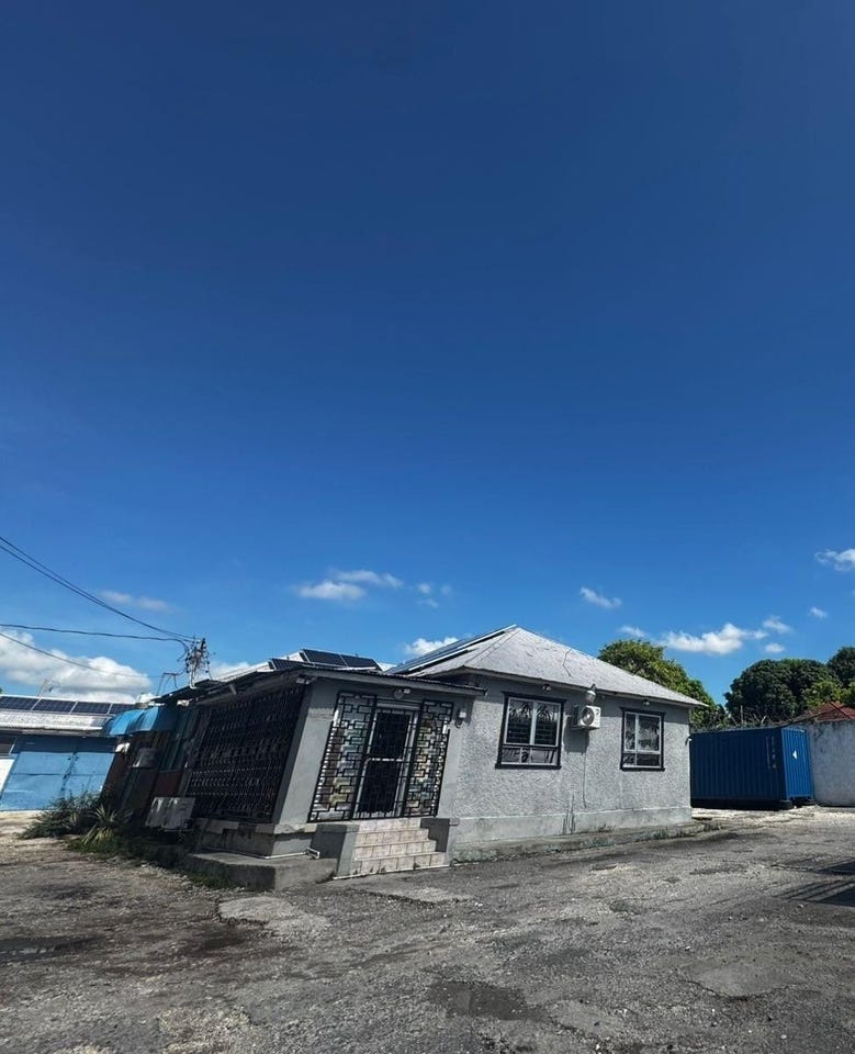
4 1/2 SWALLOWFIELD ROAD, Swallowfield, St. Andrew
Property information for 4 1/2 SWALLOWFIELD ROAD, KINGSTON 5, Swallowfield, St. Andrew
AI-powered estimation based on comprehensive analysis of location, demographics, infrastructure, and market factors
Estimated Value (JMD)
JMD 113,207,385
Estimated Value (USD)
USD 754,716
Confidence Score
80%
Market Multiplier
1.02x
📊 Value Range Analysis
JMD Range:
JMD 90,565,908 - JMD 135,848,862
JMD 90,565,908 - JMD 135,848,862
📊 Analysis Details
Summary: AI analysis indicates a land value of JMD 113,207,385 based on 80% confidence analysis of population density, building count, facilities, and environmental factors.
Key Factors: Population density: 9088 people • Building count: 3 • Nearby facilities: 0 • Environmental score: 0.0% • Economic score: 0.0%
Tax Status: Not Available
Legal: Property appears to be legally registered
Improvements: Property has existing structures
Detailed analysis of buildings, attractions, and amenities in and around the property
🏥 Nearest Public Facilities (3)
🏖️ Nearest Attractions (5)
pitch - basketball;netball
Distance: 126.0m📍 View Location
park
Distance: 129.3m📍 View Location
Independence Park
Distance: 179.3m📍 View Location
pitch - basketball;netball
Distance: 268.5m📍 View Location
🛣️ Transport Infrastructure
footway
Distance: 8.7m - Type: footway📍 View Location
Providence Pen Lane
Distance: 26.7m - Type: residential📍 View Location
Bundy Lane
Distance: 45.9m - Type: residential📍 View Location
Watson Avenue
Distance: 45.9m - Type: residential📍 View Location
Arthur Wint Drive
Distance: 75.6m - Type: secondary - 2 lanes📍 View Location