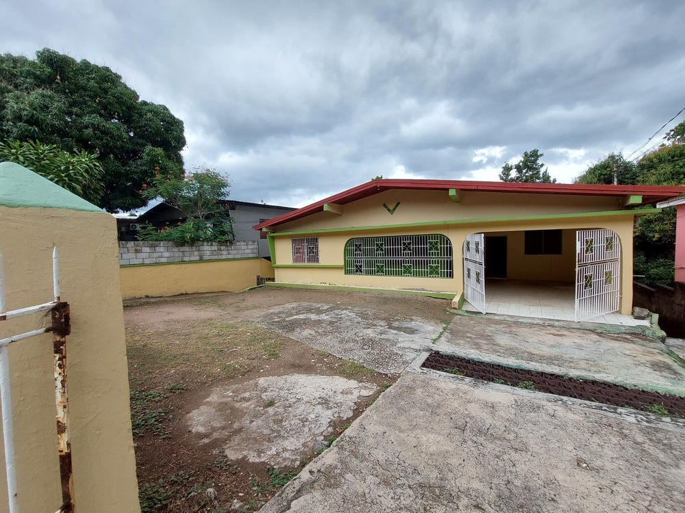
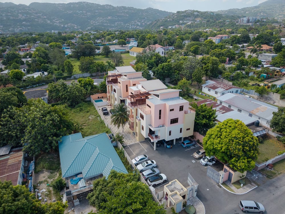
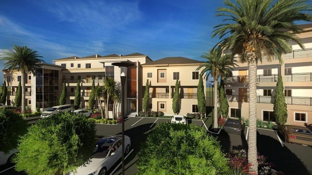
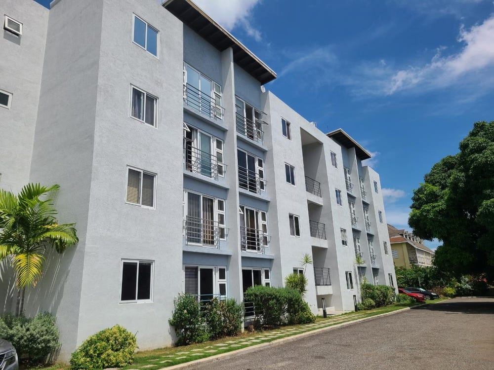
2 MANNINGS HILL, 26 MANNINGS HILL ROAD, Whitehall, St. Andrew
Property information for 26 MANNINGS HILL ROAD, KINGSTON 8, Whitehall, St. Andrew
🗺️ Property Map
Interactive map showing the exact property boundaries and location
Loading map...
AI-powered estimation based on comprehensive analysis of location, demographics, infrastructure, and market factors
Estimated Value (JMD)
JMD 38,205,401
Estimated Value (USD)
USD 254,703
Confidence Score
80%
Market Multiplier
0.97x
📊 Value Range Analysis
JMD Range:
JMD 30,564,321 - JMD 45,846,481
JMD 30,564,321 - JMD 45,846,481
📊 Analysis Details
Summary: AI analysis indicates a land value of JMD 38,205,401 based on 80% confidence analysis of population density, building count, facilities, and environmental factors.
Key Factors: Population density: 14965 people • Building count: 2 • Nearby facilities: 0 • Environmental score: 0.0% • Economic score: 0.0%
Tax Status: Not Available
Legal: Property appears to be legally registered
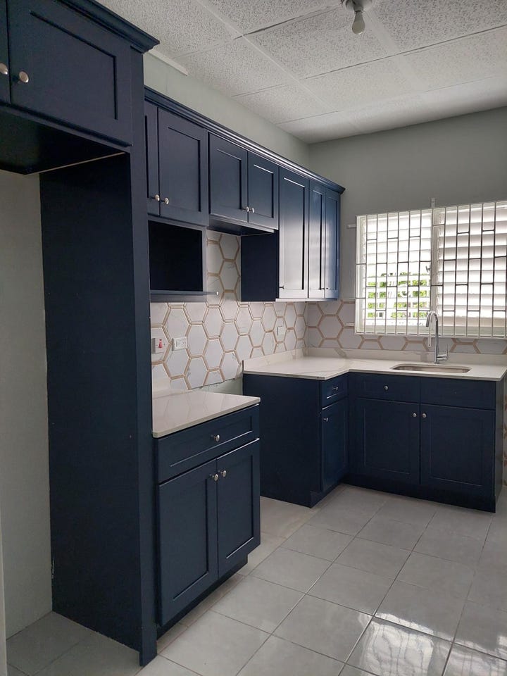
Improvements: Property has existing structures
In and Around
Buildings, public facilities, attractions and transport identified at or near this parcel — sourced from OpenStreetMap and our analysis pipeline.
Public Facilities
4- Quest Pre-SchoolNearby37 mSchool
- Mennonite Basic SchoolNearby240 mSchool
- Swallow field Primary and Junior HighNearby363 mSchool
- Constant Spring PrimaryNearby440 mSchool
Attractions
1- Jamaica Methodist Deaconess HouseNearby389 m
Retail & Commercial
5- SWNeilNearby30 mShop
- Andy's Jerk CentreNearby271 mFast Food
- ShopNearby317 m
- Saxthorpe Methodist ChurchNearby368 mPlace of Worship
- Domino's PizzaNearby371 mFast Food
Transport
5- Constant Spring GroveNearby44 mResidential
- Logwood Park AvenueNearby55 mResidential
- Mannings AvenueNearby123 mResidential
- CrossingNearby130 m
- Sullivan AvenueNearby131 mResidential