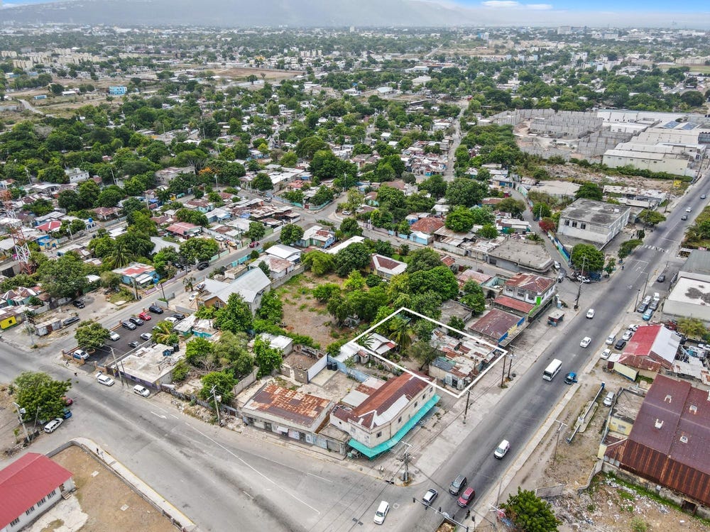
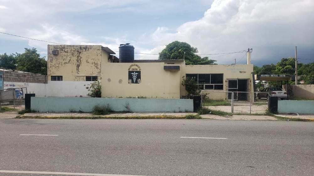
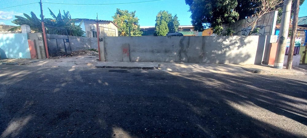
Browns Lane, Whitfield Town, St. Andrew
Property information for Browns Lane, Whitfield Town, St. Andrew
AI-powered estimation based on comprehensive analysis of location, demographics, infrastructure, and market factors
Estimated Value (JMD)
JMD 20,759,442
Estimated Value (USD)
USD 138,396
Confidence Score
80%
Market Multiplier
1.12x
📊 Value Range Analysis
JMD Range:
JMD 16,607,554 - JMD 24,911,330
JMD 16,607,554 - JMD 24,911,330
📊 Analysis Details
Summary: AI analysis indicates a land value of JMD 20,759,442 based on 80% confidence analysis of population density, building count, facilities, and environmental factors.
Key Factors: Population density: 40785 people • Building count: 10 • Nearby facilities: 0 • Environmental score: 0.0% • Economic score: 0.0%
Tax Status: Not Available
Legal: Property appears to be legally registered
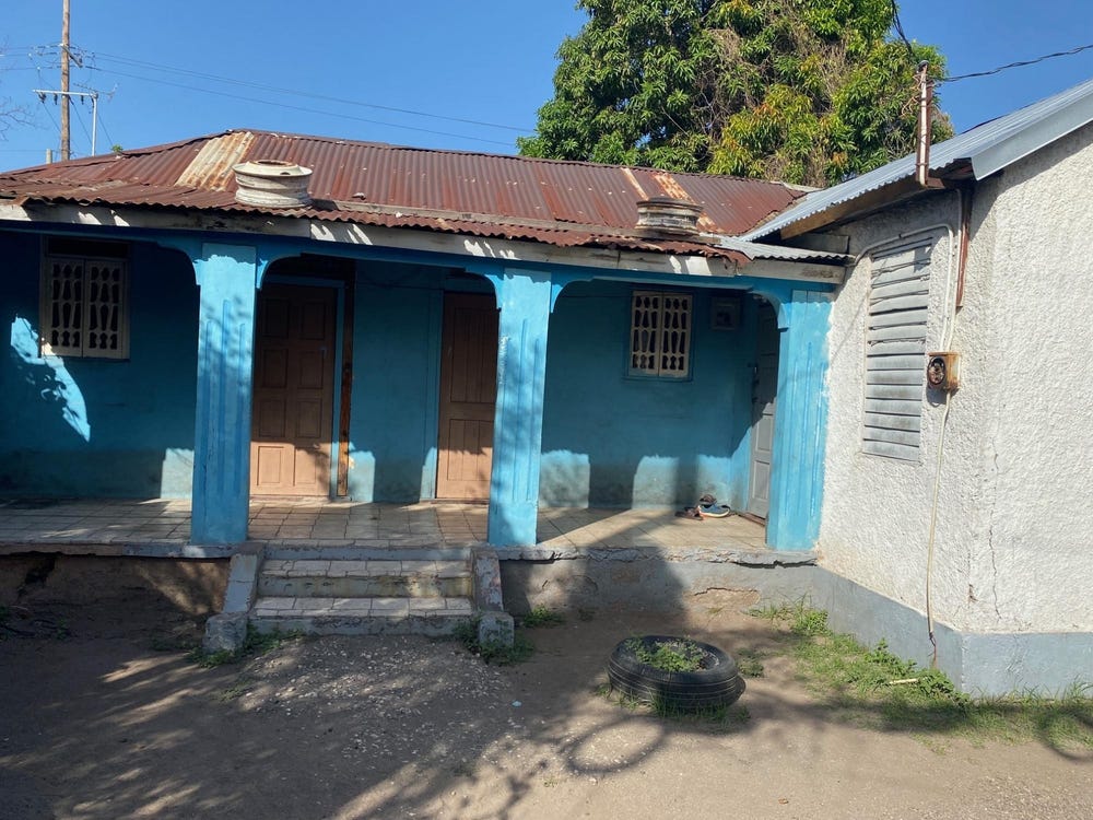
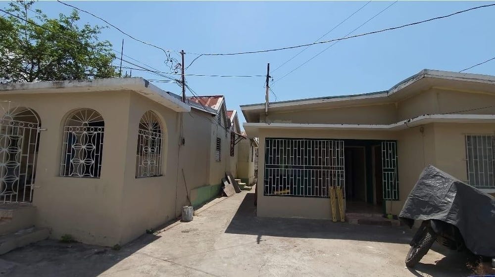
Improvements: Property has existing structures
Detailed analysis of buildings, attractions, and amenities in and around the property
🏥 Nearest Public Facilities (1)
🏖️ Nearest Attractions (2)
pitch
Distance: 468.5m📍 View Location
Trench Town Park
Distance: 528.9m📍 View Location
🛣️ Transport Infrastructure
Browns Lane (Inside)
Type: residential
Tobias Street
Distance: 6.8m - Type: residential📍 View Location
Unity Lane
Distance: 38.8m - Type: residential📍 View Location
service
Distance: 40.4m - Type: service📍 View Location
footway
Distance: 47.1m - Type: footway📍 View Location
Tewari Crescent
Distance: 47.8m - Type: residential📍 View Location