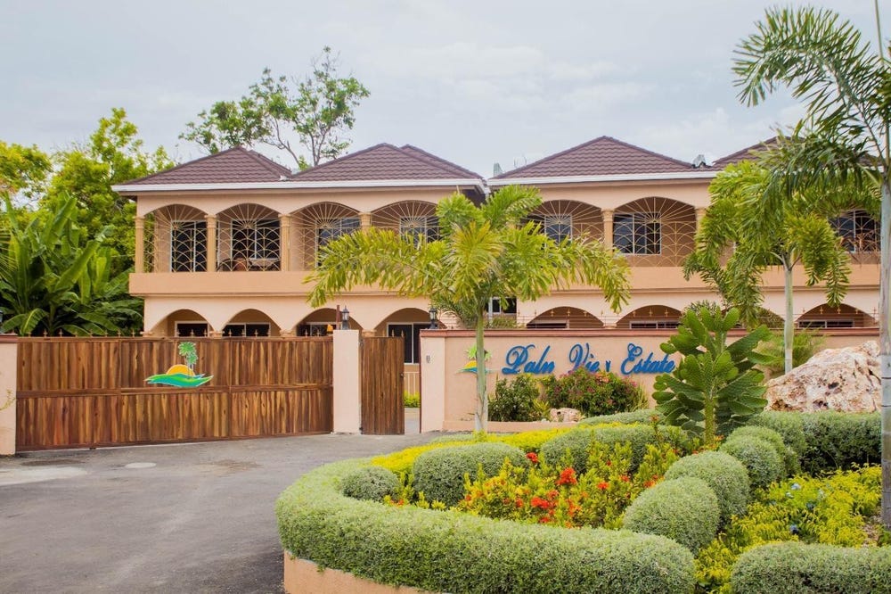
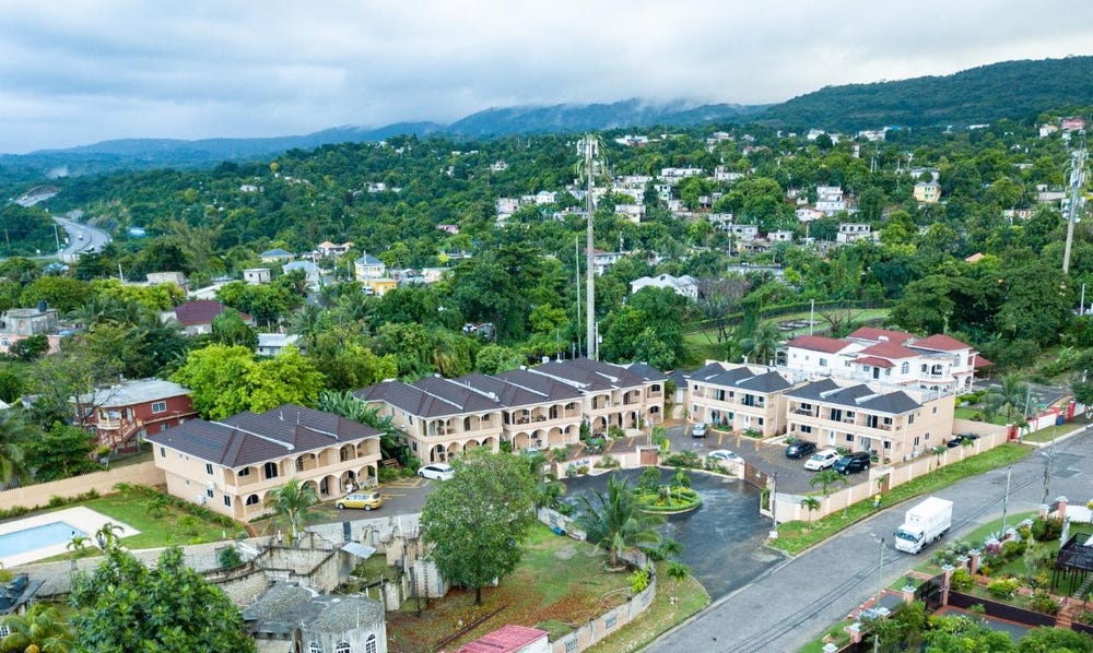
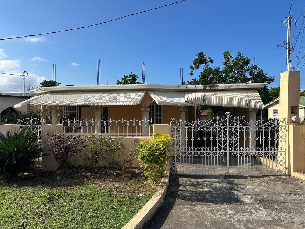
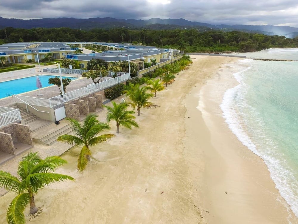
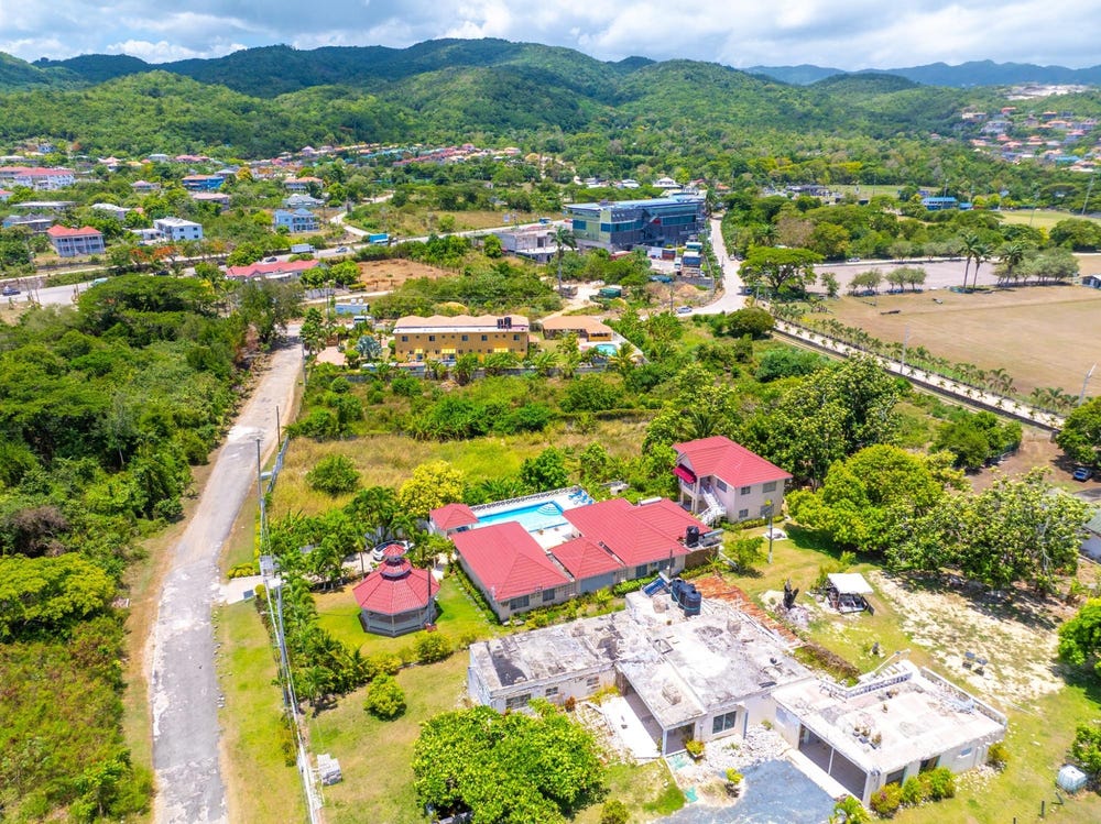
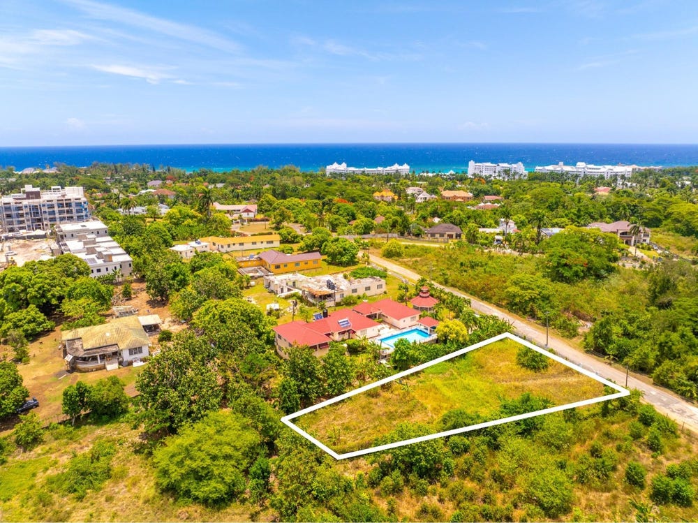
MAMMEE BAY, Drax Hall, Steer Town, St. Ann
Property information for Drax Hall, ST ANNS BAY P O, Steer Town, St. Ann
AI-powered estimation based on comprehensive analysis of location, demographics, infrastructure, and market factors
Estimated Value (JMD)
JMD 196,509,240
Estimated Value (USD)
USD 1,310,062
Confidence Score
95%
Market Multiplier
1.12x
📊 Value Range Analysis
JMD Range:
JMD 157,207,392 - JMD 235,811,088
JMD 157,207,392 - JMD 235,811,088
📊 Analysis Details
Summary: AI analysis indicates a land value of JMD 196,509,240 based on 95% confidence analysis of population density, building count, facilities, and environmental factors.
Key Factors: Population density: 314596 people • Building count: 479 • Nearby facilities: 0 • Environmental score: 0.0% • Economic score: 0.0%
Tax Status: Available
Legal: Property appears to be legally registered
Improvements: Property has existing structures
Detailed analysis of buildings, attractions, and amenities in and around the property
🎯 Attractions Inside Parcel (3)
🏖️ Nearest Attractions (4)
swimming_pool
Distance: 62.1m📍 View Location
swimming_pool
Distance: 131.9m📍 View Location
Gambling House
Distance: 243.3m📍 View Location
🛣️ Transport Infrastructure
crossing (Inside)
Type: crossing
street_lamp (Inside)
Type: street_lamp
residential (Inside)
Type: residential
Tippy Lane (Inside)
Type: residential
Edward Seaga Highway (Inside)
Type: motorway - 2 lanes
Northern Coastal Highway (Inside)
Type: trunk - 2 lanes
Snake Lane (Inside)
Type: residential
residential (Inside)
Type: residential
Chalk Hill Drive (Inside)
Type: residential
Northern Coastal Highway (Inside)
Type: primary - 2 lanes
Northern Coastal Highway (Inside)
Type: primary - 1 lanes
Northern Coastal Highway (Inside)
Type: trunk - 1 lanes
Northern Coastal Highway (Inside)
Type: primary - 1 lanes
Northern Coastal Highway (Inside)
Type: trunk - 1 lanes
Drax Hall Roundabout (Inside)
Type: trunk - 2 lanes
Edward Seaga Highway (Inside)
Type: motorway - 2 lanes
Gulf Road (Inside)
Type: residential
track (Inside)
Type: track
Gaza Close 2 (Inside)
Type: residential
Gaza Close 3 (Inside)
Type: residential
Lower Golf Road (Inside)
Type: residential
Lower Golf Road (Inside)
Type: residential
residential (Inside)
Type: residential
residential (Inside)
Type: residential
residential (Inside)
Type: residential
residential (Inside)
Type: residential
residential (Inside)
Type: residential
residential (Inside)
Type: residential
residential (Inside)
Type: residential
residential (Inside)
Type: residential
residential (Inside)
Type: residential
Old Fort Bay Road (Inside)
Type: residential
residential (Inside)
Type: residential
residential (Inside)
Type: residential
residential (Inside)
Type: residential
residential (Inside)
Type: residential
residential (Inside)
Type: residential
residential (Inside)
Type: residential
Escape Lane (Inside)
Type: escape
Green Bay Road
Distance: 17.1m - Type: residential📍 View Location
service
Distance: 20.1m - Type: service📍 View Location
residential
Distance: 25.0m - Type: residential📍 View Location
residential
Distance: 42.7m - Type: residential📍 View Location
Farcas Crescent
Distance: 45.6m - Type: residential📍 View Location