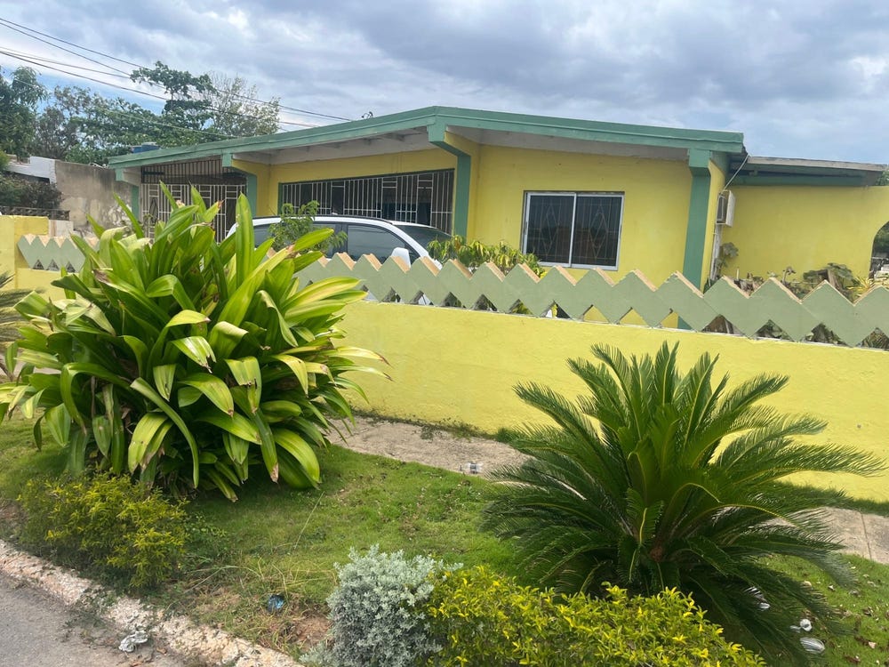
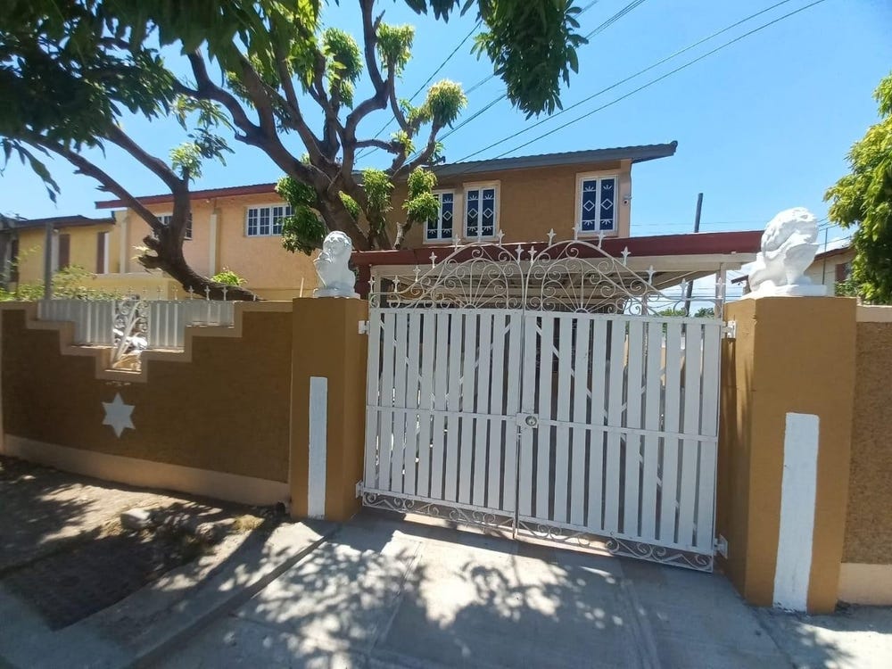
1 WESTPORT, ROBINSON AVENUE, Bridgeport, St. Catherine
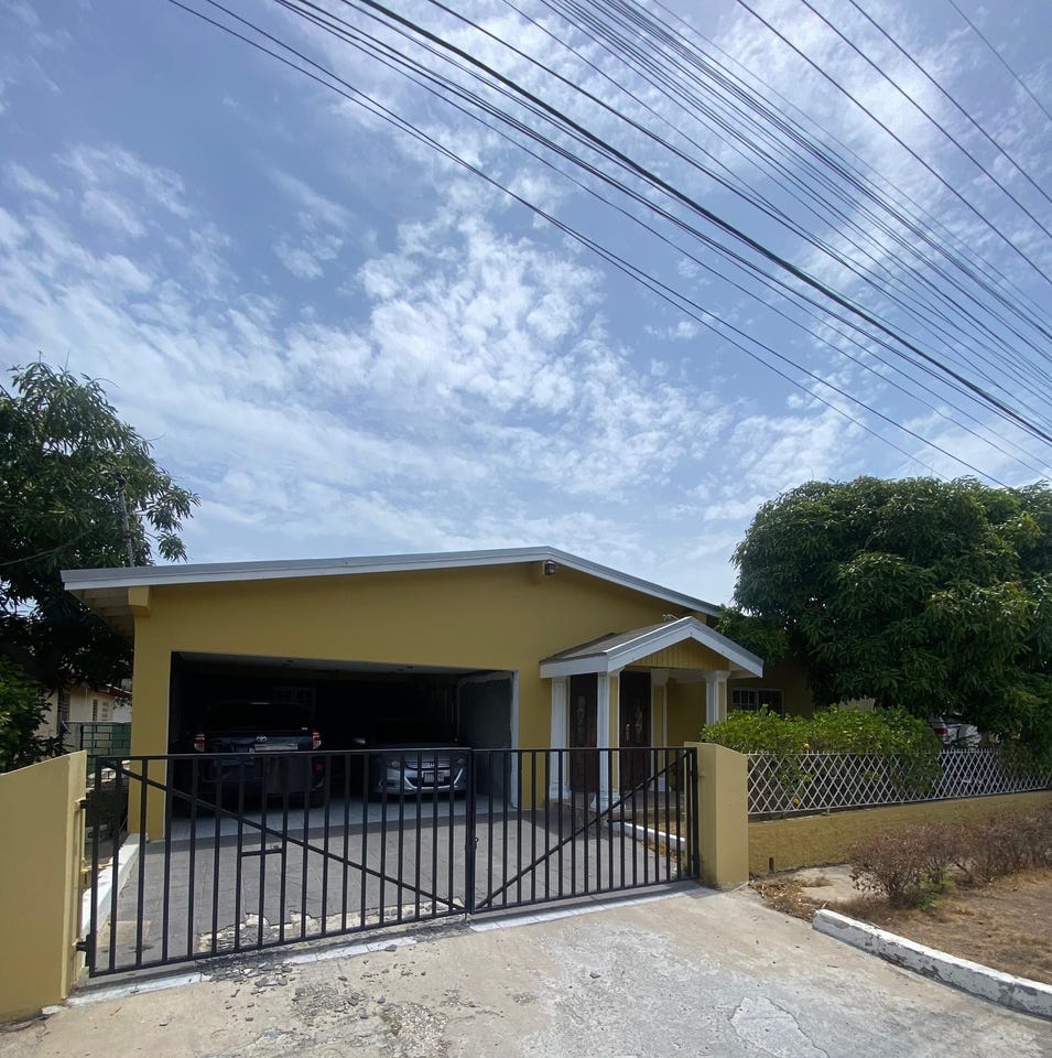
Property information for ROBINSON AVENUE, BRIDGEPORT P O, Bridgeport, St. Catherine
AI-powered estimation based on comprehensive analysis of location, demographics, infrastructure, and market factors
Estimated Value (JMD)
JMD 20,844,424
Estimated Value (USD)
USD 138,963
Confidence Score
80%
Market Multiplier
1.02x
📊 Value Range Analysis
JMD Range:
JMD 16,675,539 - JMD 25,013,309
JMD 16,675,539 - JMD 25,013,309
📊 Analysis Details
Summary: AI analysis indicates a land value of JMD 20,844,424 based on 80% confidence analysis of population density, building count, facilities, and environmental factors.
Key Factors: Population density: 191745 people • Building count: 4 • Nearby facilities: 0 • Environmental score: 0.0% • Economic score: 0.0%
Tax Status: Not Available
Legal: Property appears to be legally registered
Improvements: Property has existing structures
Detailed analysis of buildings, attractions, and amenities in and around the property
🏥 Nearest Public Facilities (1)
🌊 Nearest Natural Features (2)
scrub
Distance: 135.8m📍 View Location
Dawkins Pond
Distance: 1.6km📍 View Location
🛣️ Transport Infrastructure
residential
Distance: 8.6m - Type: residential📍 View Location
Fraser Avenue
Distance: 10.2m - Type: residential📍 View Location
residential
Distance: 63.8m - Type: residential📍 View Location
residential
Distance: 75.5m - Type: residential📍 View Location
Massop Drive
Distance: 77.8m - Type: residential📍 View Location