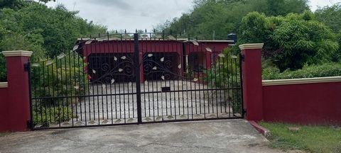
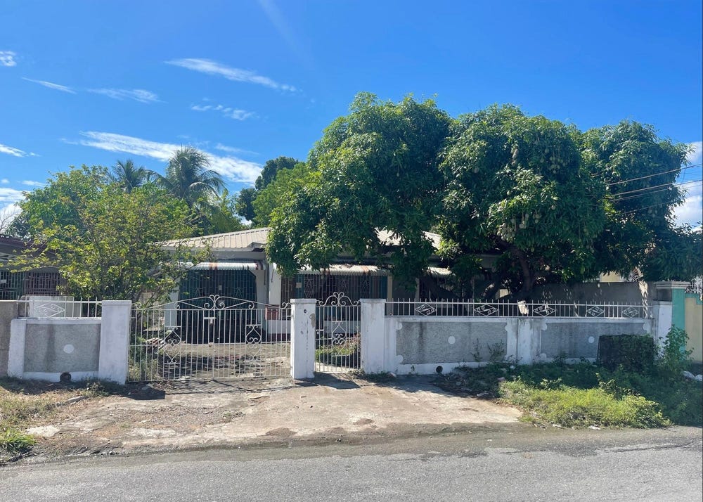
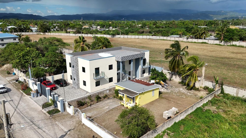
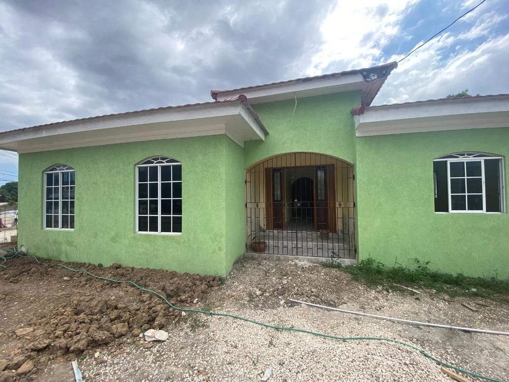
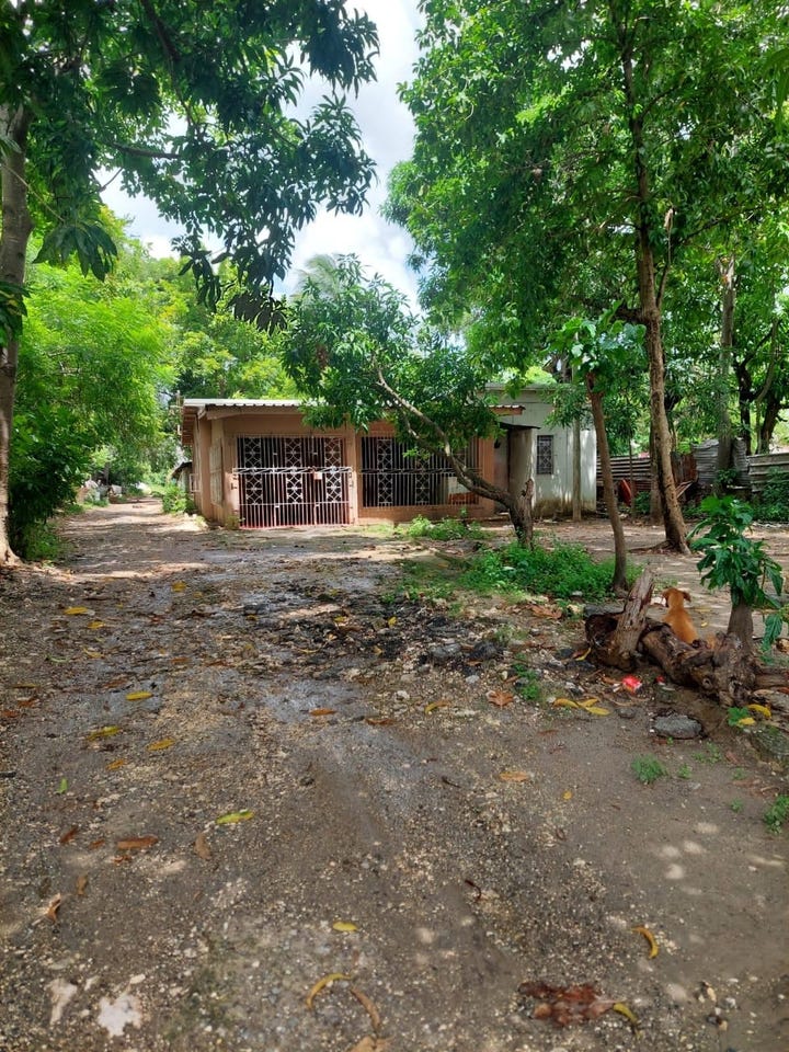
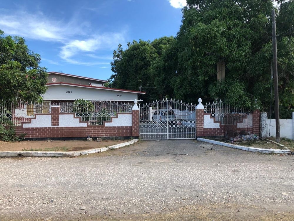
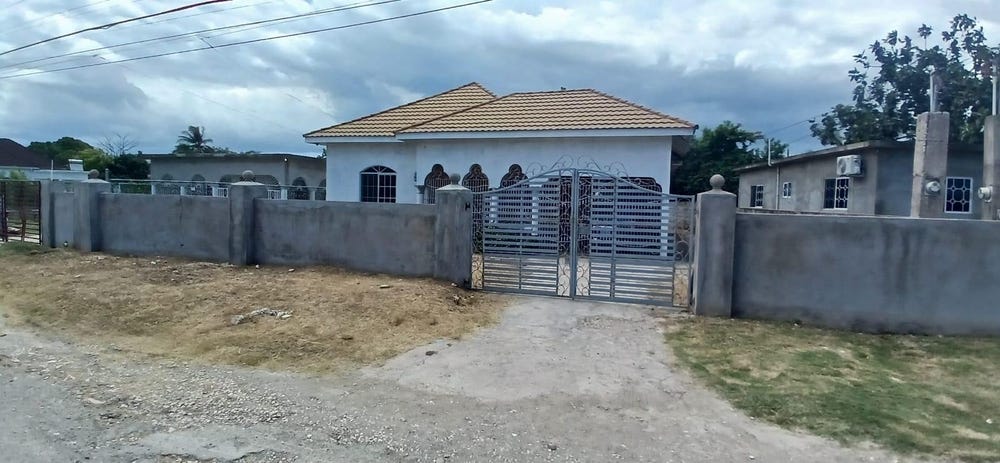
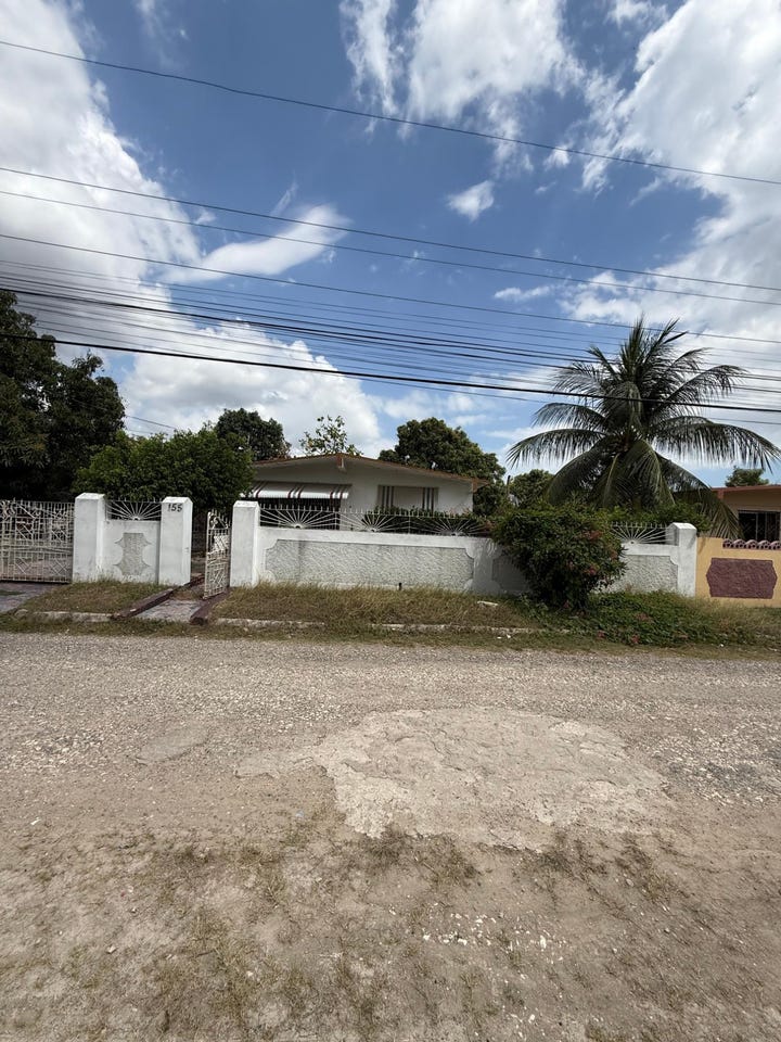
Wrenford Road, St. John's East, St. Catherine
Property information for Wrenford Road, St. John's East, St. Catherine
AI-powered estimation based on comprehensive analysis of location, demographics, infrastructure, and market factors
Estimated Value (JMD)
JMD 38,165,068
Estimated Value (USD)
USD 254,434
Confidence Score
80%
Market Multiplier
1.02x
📊 Value Range Analysis
JMD Range:
JMD 30,532,054 - JMD 45,798,082
JMD 30,532,054 - JMD 45,798,082
📊 Analysis Details
Summary: AI analysis indicates a land value of JMD 38,165,068 based on 80% confidence analysis of population density, building count, facilities, and environmental factors.
Key Factors: Population density: 1365 people • Building count: 5 • Nearby facilities: 0 • Environmental score: 0.0% • Economic score: 0.0%
Tax Status: Not Available
Legal: Property appears to be legally registered
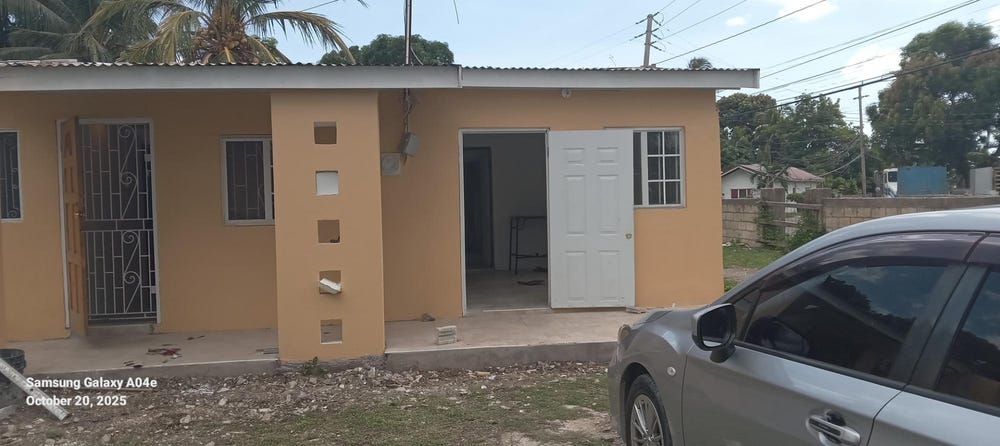
Improvements: Property has existing structures
Detailed analysis of buildings, attractions, and amenities in and around the property
🏥 Nearest Public Facilities (2)
St. Catherine High School
Distance: 769.5m📍 View Location
Type: School
Address: St Johns Rd
Phone: +1 876 981 8004
🏖️ Nearest Attractions (1)
pitch - soccer
Distance: 317.2m📍 View Location
🛣️ Transport Infrastructure
Wrenford Road (Inside)
Type: residential
Mansfield Avenue (Inside)
Type: residential
crossing
Distance: 4.0m - Type: crossing📍 View Location
crossing
Distance: 26.9m - Type: crossing📍 View Location
Mansfield Drive
Distance: 44.7m - Type: residential📍 View Location
crossing
Distance: 52.7m - Type: crossing📍 View Location
residential
Distance: 67.5m - Type: residential📍 View Location