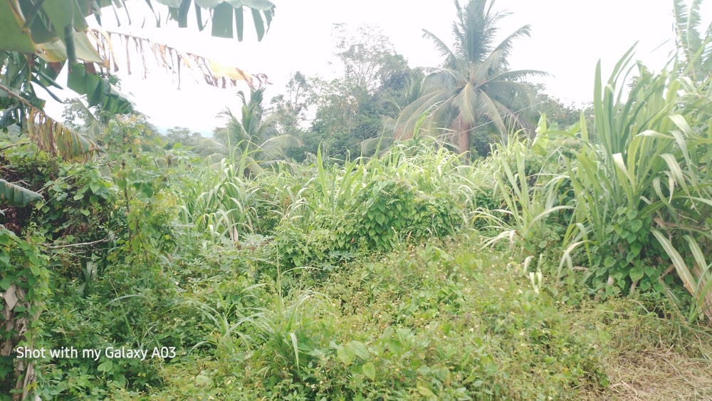
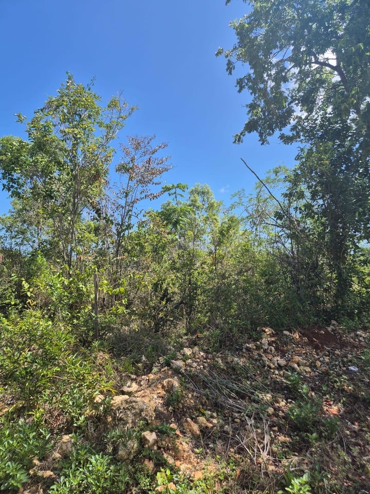
🗺️ Property Map

Interactive map showing the exact property boundaries and location

Loading map...

Interactive property boundary map located in Amiel Town, St. Mary parish, Jamaica.

Tax & Investment Information

What you get when you unlock this parcel

Boundary maps, lot size, scheme details, AI valuation insight and OFMOP local context are already free on this page. The unlock adds the verified Tax & Ownership record:

  • 👤 Owner of record — name and registered address from TAJ
  • 💰 Annual property tax — current amount due + paid/unpaid status from TAJ
  • 📊 Assessed value — the unimproved value TAJ uses to compute the tax
  • 📜 Payment history — recent tax-payment entries on the parcel

Tax records sourced from Tax Administration Jamaica (TAJ). Land boundaries and lot dimensions come from the National Land Agency (NLA) and are already on this page.

One-time per parcel, or unlimited with Premium. Receipts in your customer portal.

AI-powered estimation based on comprehensive analysis of location, demographics, infrastructure, and market factors

Estimated Value (JMD)
JMD 14,637,456
Estimated Value (USD)
USD 97,583
Confidence Score
80%
Market Multiplier
0.81x
📊 Value Range Analysis
JMD Range:
JMD 11,709,965 - JMD 17,564,947
📊 Analysis Details
Summary: AI analysis indicates a land value of JMD 14,637,456 based on 80% confidence analysis of population density, building count, facilities, and environmental factors.
Key Factors: Population density: 437 people • Building count: 2 • Nearby facilities: 0 • Environmental score: 0.0% • Economic score: 0.0%
Tax Status: Not Available
Legal: Property appears to be legally registered
Improvements: Property has existing structures

In and Around

Buildings, public facilities, attractions and transport identified at or near this parcel — sourced from OpenStreetMap and our analysis pipeline.

Transport

5
  • UnclassifiedNearby80 m
  • Fellowship Hall RoadNearby82 mUnclassified
  • Union Hill RoadNearby222 mUnclassified
  • Linstead - Oracabessa RoadNearby222 mSecondary
  • ServiceNearby405 m

Property record

ID: 522506

This 673 m² parcel measures roughly 26 m wide by 32 m deep, with a 6-vertex boundary.

St. Mary is a northeastern parish — agricultural and coastal in character, known for banana cultivation and Port Maria.

Surrey County is the eastern third of Jamaica, anchored by Kingston and the Blue Mountains.

Located 2.4 km from the centre of Amiel Town and 9.7 km from Port Maria, the parish capital.

OpenStreetMap places this parcel within Union Hill Road, Union Hill, Saint Mary, Middlesex County, Jamaica. OSM classifies the surrounding area as unclassified.

Satellite imagery detects 2 structures within the parcel boundary, suggesting a developed lot.

Vegetation cover reads as high green (NDVI 0.70).

Nearest highway: Fellowship Hall Road, approximately 82 m from the parcel boundary.

OFMOP records 1 transit route; garbage collected by NEPM on Monday for this district.

Indicative AI valuation: JMD 14,637,456 ≈ USD 97,583 (80% confidence).

Coordinates:Available

🏠 Nearby on the market

🏠 Real Estate Investment Opportunities

Discover properties for sale and rent in this prime location. Perfect for investors looking for opportunities in this growing area.

💰Properties for Sale

3 Available
NEW RAMBLE, FREE HILL P.O
FOR SALE
1 / 10

NEW RAMBLE, FREE HILL P.O

JMD $21,000,000

0
📏88,208.99 sq ft

👨‍💼Bonita Brown

🏢RE/MAX ELITE REALTY

HUDDERSFIELD
FOR SALE
1 / 5

HUDDERSFIELD

JMD $16,500,000

0
📏10,260.00 sq ft
🏢10,260.00 sq ft

👨‍💼Kaydian Williams

🏢COLDWELL BANKER JAMAICA REALTY

Huddersfield to Mango Valley Road, Huddersfield Heights, St. Mary Parish
FOR SALE
1 / 5

Huddersfield to Mango Valley Road, Huddersfield Heights, St. Mary Parish

USD $103,280

👨‍💼Kaydian Williams

🏢Coldwell Banker Jamaica Realty

🏠Properties for Rent

0 Available
🏠

No Properties for Rent

Currently no properties available for rent in this area.

📊 Investment Summary

3
Properties for Sale
0
Properties for Rent
3
Total Opportunities

Checking access...

About Amiel Town

Community data powered by OFMOP — Out of Many, One People.

Transit routes through Amiel Town

1 routes serve this district.

  • Cox Piece - Guys HillRoute COXTaxi Rank
Transit details for Amiel Town on OFMOP

Garbage collection

Residential garbage in Amiel Town is collected by NEPM on Monday. Waste is hauled to haddon disposal site.

Garbage schedule for Amiel Town on OFMOP

Nearby fuel stations

  • IndependentMAIN STREET, HIGHGATE, ST MARY
    E10 87 · J$206ULSD · J$225.9
  • TexacoMAIN STREET, HIGHGATE,, ST. MARY
    E10 87 · J$213.9
  • Cool OasisTRINITY, PORT MARIA, ST. MARY
    E10 87 · J$224.8
Fuel stations around Amiel Town on OFMOP

Powered by Jurifi · Jamaica legal Q&A

Have a legal question about this property? Tap a prompt to open Jurifi with the parcel context already filled in.

AI assistance only. Not legal advice. Consult a Jamaican attorney before acting on any output.