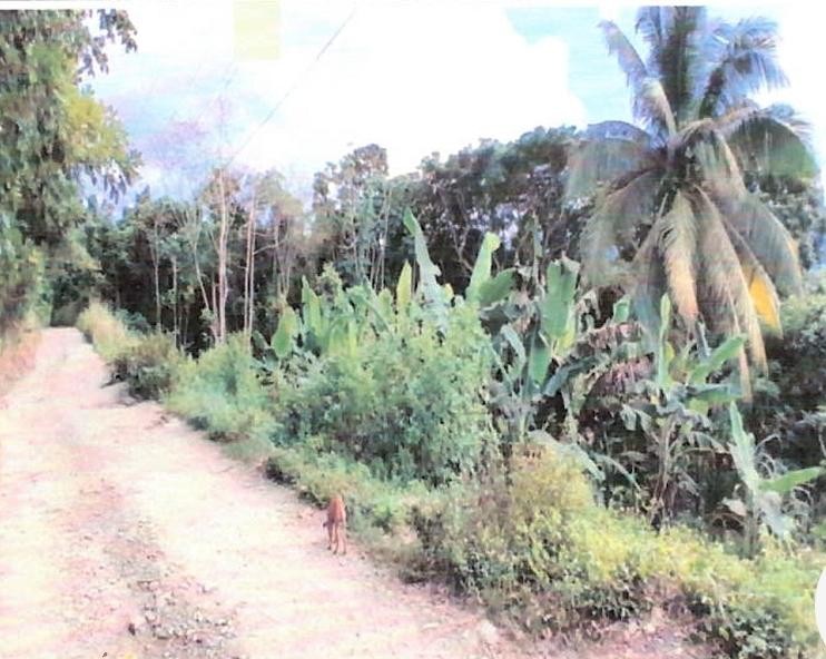
🗺️ Property Map

Interactive map showing the exact property boundaries and location

Loading map...

Interactive property boundary map located in Islington, St. Mary parish, Jamaica.

Tax & Investment Information

What you get when you unlock this parcel

Boundary maps, lot size, scheme details, AI valuation insight and OFMOP local context are already free on this page. The unlock adds the verified Tax & Ownership record:

  • 👤 Owner of record — name and registered address from TAJ
  • 💰 Annual property tax — current amount due + paid/unpaid status from TAJ
  • 📊 Assessed value — the unimproved value TAJ uses to compute the tax
  • 📜 Payment history — recent tax-payment entries on the parcel

Tax records sourced from Tax Administration Jamaica (TAJ). Land boundaries and lot dimensions come from the National Land Agency (NLA) and are already on this page.

One-time per parcel, or unlimited with Premium. Receipts in your customer portal.

AI-powered estimation based on comprehensive analysis of location, demographics, infrastructure, and market factors

Estimated Value (JMD)
JMD 5,365,284
Estimated Value (USD)
USD 35,769
Confidence Score
80%
Market Multiplier
0.97x
📊 Value Range Analysis
JMD Range:
JMD 4,292,227 - JMD 6,438,341
📊 Analysis Details
Summary: AI analysis indicates a land value of JMD 5,365,284 based on 80% confidence analysis of population density, building count, facilities, and environmental factors.
Key Factors: Population density: 39199 people • Building count: 1 • Nearby facilities: 0 • Environmental score: 0.0% • Economic score: 0.0%
Tax Status: Not Available
Legal: Property appears to be legally registered
Improvements: Property has existing structures

In and Around

Buildings, public facilities, attractions and transport identified at or near this parcel — sourced from OpenStreetMap and our analysis pipeline.

Transport

2
  • Northern Coastal HighwayNearby863 mPrimary
  • Islington RoadNearby962 mUnclassified

Property record

ID: 95342

This 58,528 m² parcel measures roughly 491 m wide by 539 m deep, with a 17-vertex boundary.

St. Mary is a northeastern parish — agricultural and coastal in character, known for banana cultivation and Port Maria.

Surrey County is the eastern third of Jamaica, anchored by Kingston and the Blue Mountains.

Located 4.2 km from the centre of Islington and 10.6 km from Port Maria, the parish capital.

OpenStreetMap places this parcel within Islington Road, Tollock Castle, Islington, Saint Mary, Middlesex County, Jamaica. OSM classifies the surrounding area as unclassified.

Satellite imagery shows one structure within the parcel boundary, indicating an at-least-partially developed lot.

Vegetation cover reads as high green (NDVI 0.70).

Nearest highway: Northern Coastal Highway, approximately 863 m from the parcel boundary.

OFMOP records 7 indexed public facilities; 21 transit routes; garbage collected by NEPM on Wednesday, Thursday for this district.

Indicative AI valuation: JMD 5,365,284 ≈ USD 35,769 (80% confidence).

Coordinates:Available

🏠 Nearby on the market

🏠 Real Estate Investment Opportunities

Discover properties for sale and rent in this prime location. Perfect for investors looking for opportunities in this growing area.

💰Properties for Sale

1 Available
ROSEND, ISLINGTON
FOR SALE
1 / 5

ROSEND, ISLINGTON

JMD $5,500,000

🛏️1 beds
🚿1 baths
📏11,298.00 sq ft
🏢269.00 sq ft

👨‍💼Dave Campbell

🏢COMPLETE REALTY SOLUTIONS LTD

🏠Properties for Rent

0 Available
🏠

No Properties for Rent

Currently no properties available for rent in this area.

📊 Investment Summary

1
Properties for Sale
0
Properties for Rent
1
Total Opportunities

Checking access...

About Islington

Community data powered by OFMOP — Out of Many, One People.

Facilities serving Islington

  • Buff BaySchool Bus Stop
  • Hillside Primary and InfantSchool
  • ISLINGTONPost Office
  • Islington Branch LibraryLibrary
  • New Orange Hill Primary and InfantSchool
  • Water Valley PrimarySchool
  • Wood Park Branch LibraryLibrary
All facilities in Islington on OFMOP

Transit routes through Islington

21 routes serve this district.

  • Port Antonio ScheduleRoute port AntonioKnutsford
  • Charles Town - Ocho RiosRoute CHATaxi Rank
  • Charles Town - St. Ann's BayRoute CHATaxi Rank
  • Port Antonio - Ocho RiosRoute PORTaxi Rank
  • Buff Bay - Annotto BayRoute BUFTaxi Rank
Transit details for Islington on OFMOP

Garbage collection

Residential garbage in Islington is collected by NEPM on Wednesday, Thursday. Waste is hauled to haddon disposal site.

Garbage schedule for Islington on OFMOP

Nearby fuel stations

  • IndependentMAIN STREET, HIGHGATE, ST MARY
    E10 87 · J$206ULSD · J$225.9
  • TexacoMAIN STREET, HIGHGATE,, ST. MARY
    E10 87 · J$213.9
  • Cool OasisTRINITY, PORT MARIA, ST. MARY
    E10 87 · J$224.8
Fuel stations around Islington on OFMOP

Powered by Jurifi · Jamaica legal Q&A

Have a legal question about this property? Tap a prompt to open Jurifi with the parcel context already filled in.

AI assistance only. Not legal advice. Consult a Jamaican attorney before acting on any output.

Nearby Properties in Islington