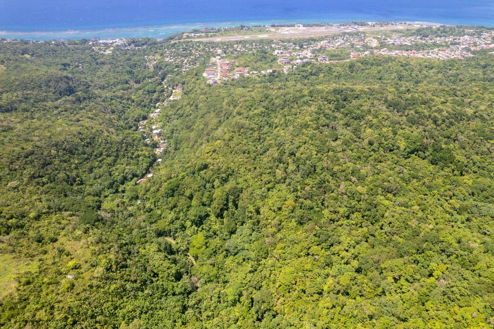
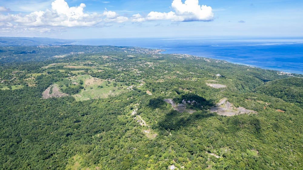
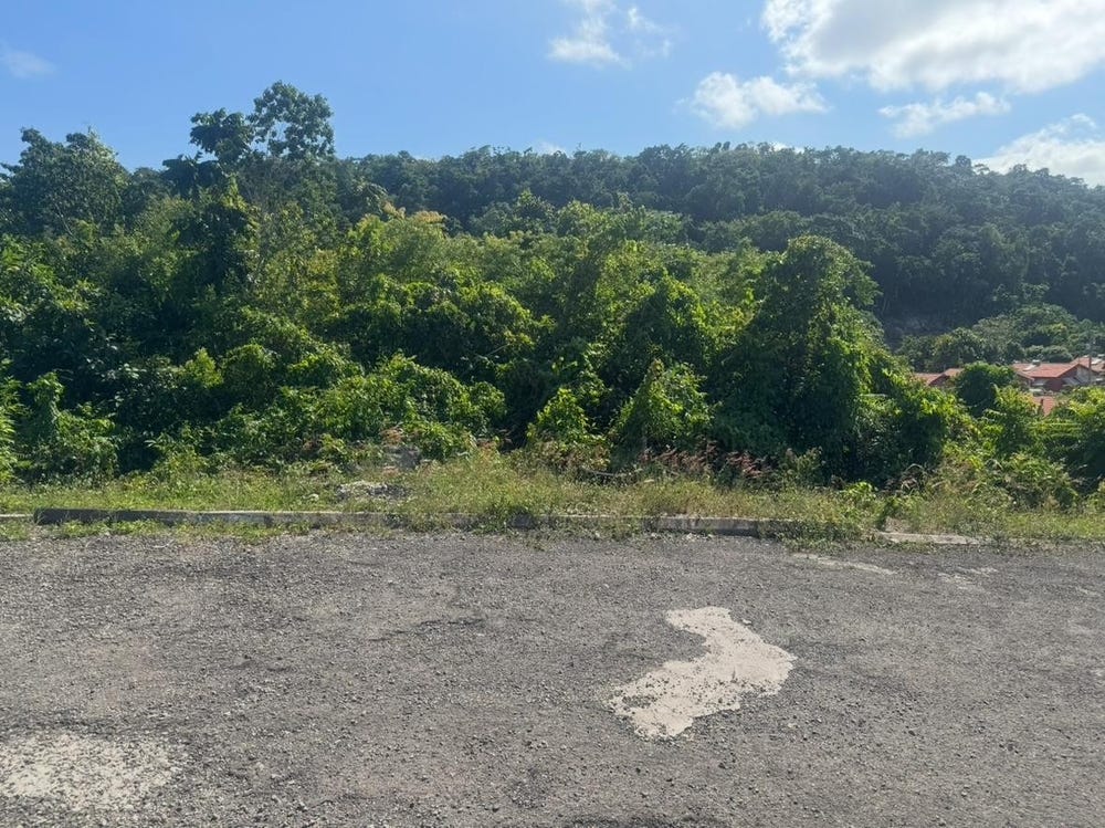
🗺️ Property Map

Interactive map showing the exact property boundaries and location

Loading map...

Interactive property boundary map located in Oracabessa, St. Mary parish, Jamaica.

Tax & Investment Information

What you get when you unlock this parcel

Boundary maps, lot size, scheme details, AI valuation insight and OFMOP local context are already free on this page. The unlock adds the verified Tax & Ownership record:

  • 👤 Owner of record — name and registered address from TAJ
  • 💰 Annual property tax — current amount due + paid/unpaid status from TAJ
  • 📊 Assessed value — the unimproved value TAJ uses to compute the tax
  • 📜 Payment history — recent tax-payment entries on the parcel

Tax records sourced from Tax Administration Jamaica (TAJ). Land boundaries and lot dimensions come from the National Land Agency (NLA) and are already on this page.

One-time per parcel, or unlimited with Premium. Receipts in your customer portal.

AI-powered estimation based on comprehensive analysis of location, demographics, infrastructure, and market factors

Estimated Value (JMD)
JMD 56,066,780
Estimated Value (USD)
USD 373,779
Confidence Score
75%
Market Multiplier
0.92x
📊 Value Range Analysis
JMD Range:
JMD 44,853,424 - JMD 67,280,136
📊 Analysis Details
Summary: AI analysis indicates a land value of JMD 56,066,780 based on 75% confidence analysis of population density, building count, facilities, and environmental factors.
Key Factors: Population density: 150793 people • Building count: 0 • Nearby facilities: 0 • Environmental score: 0.0% • Economic score: 0.0%
Tax Status: Not Available
Legal: Property appears to be legally registered
Improvements: Vacant land with development potential

In and Around

Buildings, public facilities, attractions and transport identified at or near this parcel — sourced from OpenStreetMap and our analysis pipeline.

Transport

2
  • Mount Zion RoadNearby201 mResidential
  • Union RoadNearby1.7 kmUnclassified

Property record

ID: 523959

This 902,399 m² parcel measures roughly 517 m wide by 726 m deep, with a 76-vertex boundary.

St. Mary is a northeastern parish — agricultural and coastal in character, known for banana cultivation and Port Maria.

Surrey County is the eastern third of Jamaica, anchored by Kingston and the Blue Mountains.

Located 1.7 km from the centre of Oracabessa and 8.3 km from Port Maria, the parish capital.

OpenStreetMap places this parcel within Mount Zion Road, Union, Saint Mary, Middlesex County, Jamaica. OSM classifies the surrounding area as residential.

Satellite imagery shows no structures inside the boundary — currently appearing undeveloped.

Vegetation cover reads as high green (NDVI 0.70).

Nearest highway: Mount Zion Road, approximately 201 m from the parcel boundary.

OFMOP records 9 indexed public facilities; 21 transit routes; garbage collected by NEPM on Wednesday, Friday, Tuesday, Monday, Sunday, Thursday, Saturday for this district.

Indicative AI valuation: JMD 56,066,780 ≈ USD 373,779 (75% confidence).

🏠 Nearby on the market

🏠 Real Estate Investment Opportunities

Discover properties for sale and rent in this prime location. Perfect for investors looking for opportunities in this growing area.

💰Properties for Sale

3 Available
UNION PEN
FOR SALE
1 / 10

UNION PEN

JMD $32,000,000

0
📏1,606,423.99 sq ft

👨‍💼Lance Fisher

🏢SUPREME REAL ESTATE LIMITED

UNION PEN
FOR SALE
1 / 10

UNION PEN

USD $870,000

0
📏4,399,560.01 sq ft

👨‍💼Siboney Patterson

🏢JAMAICA SOTHEBY'S INTERNATIONAL REALTY

CONSTITUTION DR BOSOBEL
FOR SALE
1 / 10

CONSTITUTION DR BOSOBEL

JMD $11,000,000

0
📏4,262.00 sq ft

👨‍💼Tanay Gillings

🏢MILLENNIUM PROPERTIES SALES & SERVICES LIMITED

🏠Properties for Rent

0 Available
🏠

No Properties for Rent

Currently no properties available for rent in this area.

📊 Investment Summary

3
Properties for Sale
0
Properties for Rent
3
Total Opportunities

Checking access...

About Oracabessa

Community data powered by OFMOP — Out of Many, One People.

Facilities serving Oracabessa

  • BOSCOBELPost Office
  • Boscobel Primary and InfantSchool
  • Hamilton MountainPost Office
  • Mango ValleyPost Office
  • OCHO RIOSPost Office
  • ORACABESSAPost Office
  • Oracabessa Branch LibraryLibrary
  • Oracabessa HighSchool
All facilities in Oracabessa on OFMOP

Transit routes through Oracabessa

21 routes serve this district.

  • Port Antonio ScheduleRoute port AntonioKnutsford
  • Boscobel - Ocho RiosRoute BOSTaxi Rank
  • Charles Town - Ocho RiosRoute CHATaxi Rank
  • Days Mountain - Ocho RiosRoute DAYTaxi Rank
  • Fellowship Hall - Ocho RiosRoute FELTaxi Rank
Transit details for Oracabessa on OFMOP

Garbage collection

Residential garbage in Oracabessa is collected by NEPM on Wednesday, Friday, Tuesday, Monday, Sunday, Thursday, Saturday. Waste is hauled to retirement disposal site.

Garbage schedule for Oracabessa on OFMOP

Nearby fuel stations

  • IndependentMAIN STREET, HIGHGATE, ST MARY
    E10 87 · J$206ULSD · J$225.9
  • TexacoMAIN STREET, HIGHGATE,, ST. MARY
    E10 87 · J$213.9
  • Cool OasisTRINITY, PORT MARIA, ST. MARY
    E10 87 · J$224.8
Fuel stations around Oracabessa on OFMOP

Powered by Jurifi · Jamaica legal Q&A

Have a legal question about this property? Tap a prompt to open Jurifi with the parcel context already filled in.

AI assistance only. Not legal advice. Consult a Jamaican attorney before acting on any output.

Nearby Properties in Oracabessa