🗺️ Property Map

Interactive map showing the exact property boundaries and location

Loading map...

Interactive property boundary map located in Lloyds, St. Thomas parish, Jamaica.

Tax & Investment Information

What you get when you unlock this parcel

Boundary maps, lot size, scheme details, AI valuation insight and OFMOP local context are already free on this page. The unlock adds the verified Tax & Ownership record:

  • 👤 Owner of record — name and registered address from TAJ
  • 💰 Annual property tax — current amount due + paid/unpaid status from TAJ
  • 📊 Assessed value — the unimproved value TAJ uses to compute the tax
  • 📜 Payment history — recent tax-payment entries on the parcel

Tax records sourced from Tax Administration Jamaica (TAJ). Land boundaries and lot dimensions come from the National Land Agency (NLA) and are already on this page.

One-time per parcel, or unlimited with Premium. Receipts in your customer portal.

AI-powered estimation based on comprehensive analysis of location, demographics, infrastructure, and market factors

Estimated Value (JMD)
JMD 20,837,371
Estimated Value (USD)
USD 138,916
Confidence Score
75%
Market Multiplier
0.92x
📊 Value Range Analysis
JMD Range:
JMD 16,669,897 - JMD 25,004,845
📊 Analysis Details
Summary: AI analysis indicates a land value of JMD 20,837,371 based on 75% confidence analysis of population density, building count, facilities, and environmental factors.
Key Factors: Population density: 38667 people • Building count: 0 • Nearby facilities: 0 • Environmental score: 0.0% • Economic score: 0.0%
Tax Status: Not Available
Legal: Property appears to be legally registered
Improvements: Vacant land with development potential

Property record

ID: 289937

St. Thomas is a eastern parish — rural and coastal in character, Jamaica's easternmost parish with hot springs in Bath.

Surrey County is the eastern third of Jamaica, anchored by Kingston and the Blue Mountains.

Located 3.8 km from the centre of Lloyds and 10.1 km from Morant Bay, the parish capital.

OpenStreetMap places this parcel within 
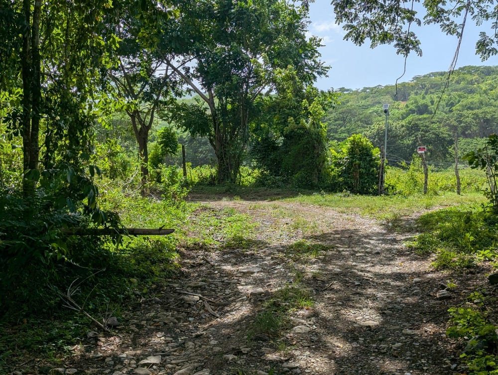
Coley, Saint Thomas, Surrey County, Jamaica. OSM classifies the surrounding area as hamlet.

Satellite imagery shows no structures inside the boundary — currently appearing undeveloped.

Vegetation cover reads as high green (NDVI 0.60).

OFMOP records 1 indexed public facility; 4 transit routes for this district.

Indicative AI valuation: JMD 20,837,371 ≈ USD 138,916 (75% confidence).

🏠 Nearby on the market

🏠 Real Estate Investment Opportunities

Discover properties for sale and rent in this prime location. Perfect for investors looking for opportunities in this growing area.

💰Properties for Sale

1 Available
BLUE MTN. DANVERS PEN
FOR SALE
1 / 10

BLUE MTN. DANVERS PEN

JMD $22,500,000

0
📏1,211,490.98 sq ft

👨‍💼Sean Hyman

🏢CENTURY 21 HEAVE HO PROPERTIES

🏠Properties for Rent

0 Available
🏠

No Properties for Rent

Currently no properties available for rent in this area.

📊 Investment Summary

1
Properties for Sale
0
Properties for Rent
1
Total Opportunities

Checking access...

About Lloyds

Community data powered by OFMOP — Out of Many, One People.

Facilities serving Lloyds

  • Aeolus Valley Primary SchoolShelter
All facilities in Lloyds on OFMOP

Transit routes through Lloyds

4 routes serve this district.

  • Morant Bay - CityRoute 702Jutc
  • Yallahs - CityRoute 701Jutc
  • Albion - Morant BayRoute ALBTaxi Rank
  • Lloyds - YallahsRoute LLOTaxi Rank
Transit details for Lloyds on OFMOP

Nearby fuel stations

  • IndependentYALLAHS MAIN ROAD, ST. THOMAS
    E10 87 · J$200.9ULSD · J$243
  • Total JamaicaYALLAHS P.O,, ST. THOMAS.
    E10 87 · J$201.5ULSD · J$249.2
  • Rubis12 CHURCH STREET, MORANT BAY, ST. THOMAS
    E10 87 · J$231.6ULSD · J$250.9
Fuel stations around Lloyds on OFMOP

Powered by Jurifi · Jamaica legal Q&A

Have a legal question about this property? Tap a prompt to open Jurifi with the parcel context already filled in.

AI assistance only. Not legal advice. Consult a Jamaican attorney before acting on any output.

Nearby Properties in Lloyds