BARNEYSIDE, Darliston, Westmoreland
Property information for BARNEYSIDE, CORNWALL MOUNTAIN P A, Darliston, Westmoreland
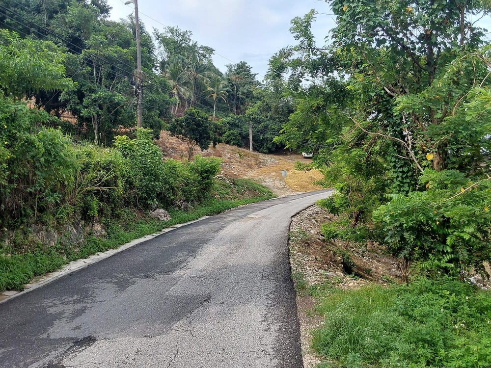
🗺️ Property Map
Interactive map showing the exact property boundaries and location
Loading map...
AI-powered estimation based on comprehensive analysis of location, demographics, infrastructure, and market factors
Estimated Value (JMD)
JMD 15,550,134
Estimated Value (USD)
USD 103,668
Confidence Score
80%
Market Multiplier
0.97x
📊 Value Range Analysis
JMD Range:
JMD 12,440,107 - JMD 18,660,161
JMD 12,440,107 - JMD 18,660,161
📊 Analysis Details
Summary: AI analysis indicates a land value of JMD 15,550,134 based on 80% confidence analysis of population density, building count, facilities, and environmental factors.
Key Factors: Population density: 3332 people • Building count: 2 • Nearby facilities: 0 • Environmental score: 0.0% • Economic score: 0.0%
Tax Status: Not Available
Legal: Property appears to be legally registered
Improvements: Property has existing structures
In and Around
Buildings, public facilities, attractions and transport identified at or near this parcel — sourced from OpenStreetMap and our analysis pipeline.
Transport
3- ResidentialInside
- Sign RoadNearby19 mResidential
- No.20, 1C, St. JohnsNearby882 mUnclassified